Home · Landmarks · Cape Ann: Rockport and Gloucester
What you are looking atI
Cape Ann: Rockport and Gloucester
North Shore · Rockport and Gloucester
- Motif Number 1The red fishing shack on Bradley Wharf in Rockport, built in 1884 and rebuilt after 1978.
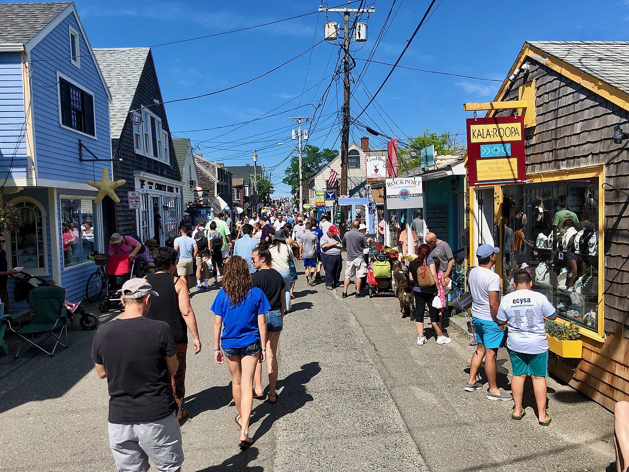
- Bearskin NeckThe narrow point beside Rockport harbor, reached by the British in 1814.
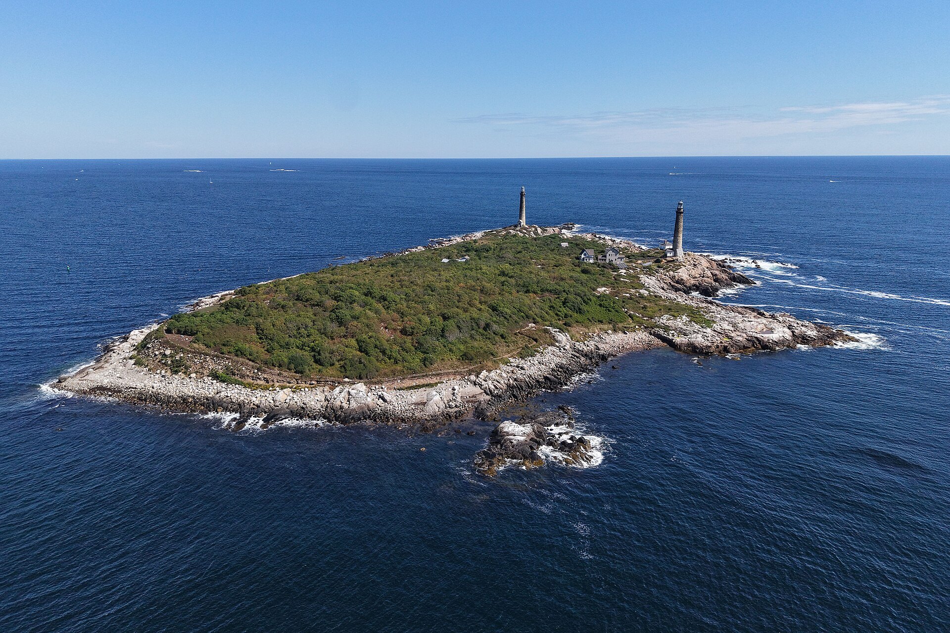
- Thacher IslandTwin granite lighthouses off Rockport, each 124 feet high, rebuilt and lit in 1861.
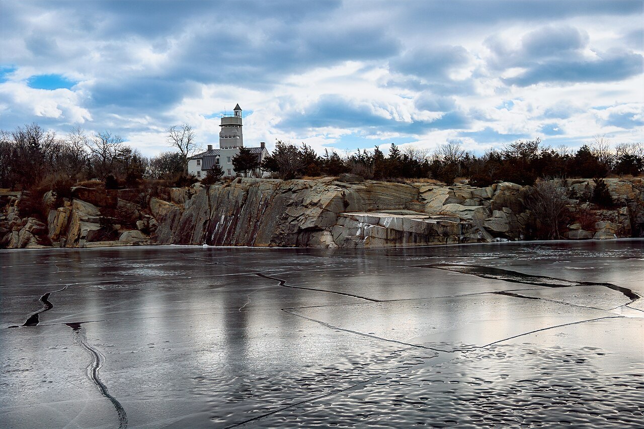
- Halibut PointThe old granite quarries at the tip of the cape, now a state park.
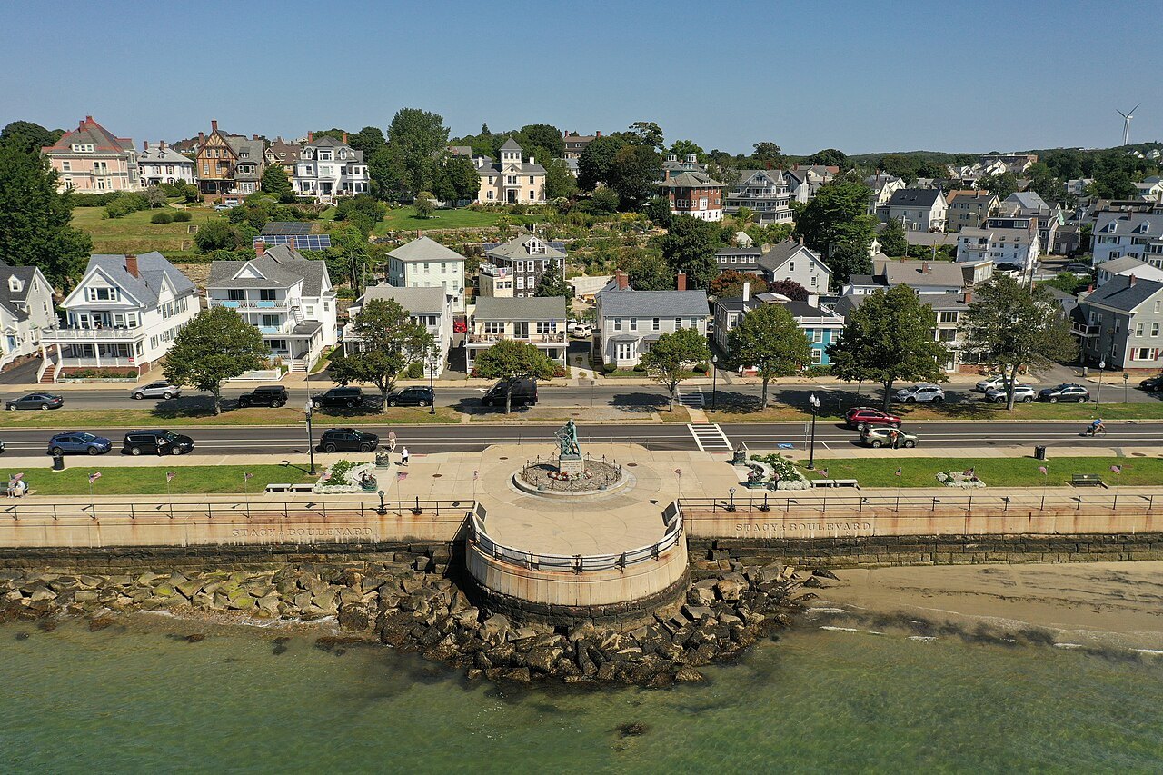
- Gloucester harborThe fishing port settled in 1623, with the Man at the Wheel on its shore.
- Rocky NeckThe art colony on Smith Cove in Gloucester, called the oldest in the country.
The place in fullII
Reading the place
Why it matters
Cape Ann is a rocky peninsula in northeastern Massachusetts, about thirty miles northeast of Boston, marking the northern end of Massachusetts Bay. It takes in the city of Gloucester and the towns of Rockport, Essex and Manchester-by-the-Sea. For centuries its living came from the sea and the stone: it had some of the richest fishing grounds in New England, and its granite was quarried and shipped down the whole east coast.
Its two harbor towns are the reason to come. Gloucester is a working fishing port with one of the country's oldest art colonies; Rockport, smaller and quieter, is known above all for Motif Number 1, the red shack on its wharf. Both were drawn and painted for more than a century by artists who came for the light and the rocks.
Gloucester and the sea
Europeans founded a permanent settlement at Gloucester in 1623. Its harbor is divided from the bay on the east by Eastern Point, a neck of land some two miles long, and the fishing industry that grew up behind it drew Portuguese and Italian immigrants in the late nineteenth century, whose influence is still seen in the festivals the town keeps through the year, among them St. Peter's Fiesta.
The best-known landmark on the waterfront is the Man at the Wheel, the Gloucester Fisherman's Memorial Cenotaph, a harborside statue dedicated to they that go down to the sea in ships, the words of Psalm 107. It stands for the town's fishermen, and it looks out over the harbor that made the town.
Painters on the shore
Cape Ann became a center for artists in the nineteenth century. The first Gloucester painter of note was the native-born Fitz Henry Lane, who began as a lithographer and developed a style of marine painting later called luminism; his house still stands on the waterfront. After him came, among many others, William Morris Hunt, Winslow Homer, Childe Hassam, John Twachtman, Cecilia Beaux, Stuart Davis, Mark Rothko and Milton Avery.
The Rocky Neck Art Colony on Smith Cove in Gloucester is called the oldest art colony in the country. The poet T. S. Eliot spent summers as a boy at his family's house near Eastern Point, and the cape's rocks and harbors run through a century of American painting.
Rockport and Motif Number 1
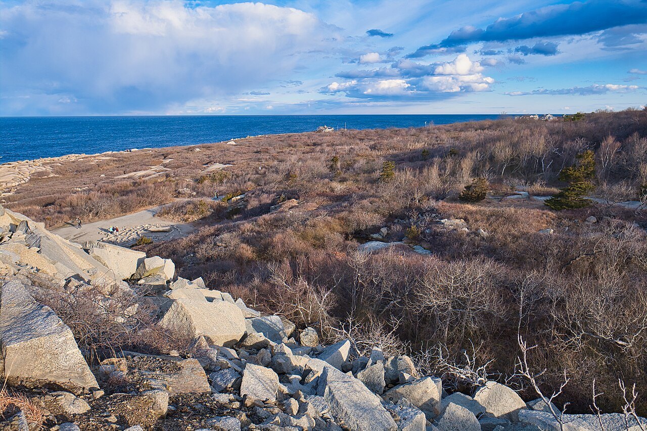
Rockport grew from the Sandy Bay settlement, where Richard Tarr, a granite cutter, was the first settler in about 1680. A dock was built at the harbor in 1743 for fishing and timber, and by the 1830s Rockport granite was being shipped to cities along the whole east coast, carried in a kind of sloop built for the stone. Finnish and Swedish quarrymen came to work it, and the Rockport Granite Company ran from 1865 to 1933; in 1899 Finnish quarrymen, first brought in to break strikes, struck themselves for three months.
When the quarries declined, Rockport thrived as an artists' colony and a summer place, known for its boulder-strewn shore. Its emblem is Motif Number 1, a fishing shack on Bradley Wharf built in 1884 as the town was becoming home to both painters and fishermen. It became their favorite subject, for its composition, its light and its image of New England maritime life, and the painter Lester Hornby is believed to have first called it Motif Number 1.
The shack that is a monument
The painter John Buckley used the shack as his studio in the 1930s and sold it to the town in 1945, which dedicated it to Rockporters who had served in the armed forces. The original was destroyed in the Blizzard of 1978, and an exact replica was built the same year. The town takes pains to keep it looking as it did: it found a red paint that looks weathered even when new, and keeps the wharf clear of overhead wires, traffic signs and advertising.
Beside the harbor runs Bearskin Neck, the narrow point of land where, on September 8, 1814, a boat from the British frigate Nymphe was sighted at daybreak during the blockade of New England, while another took the fort at Long Cove.
Thacher Island and Halibut Point
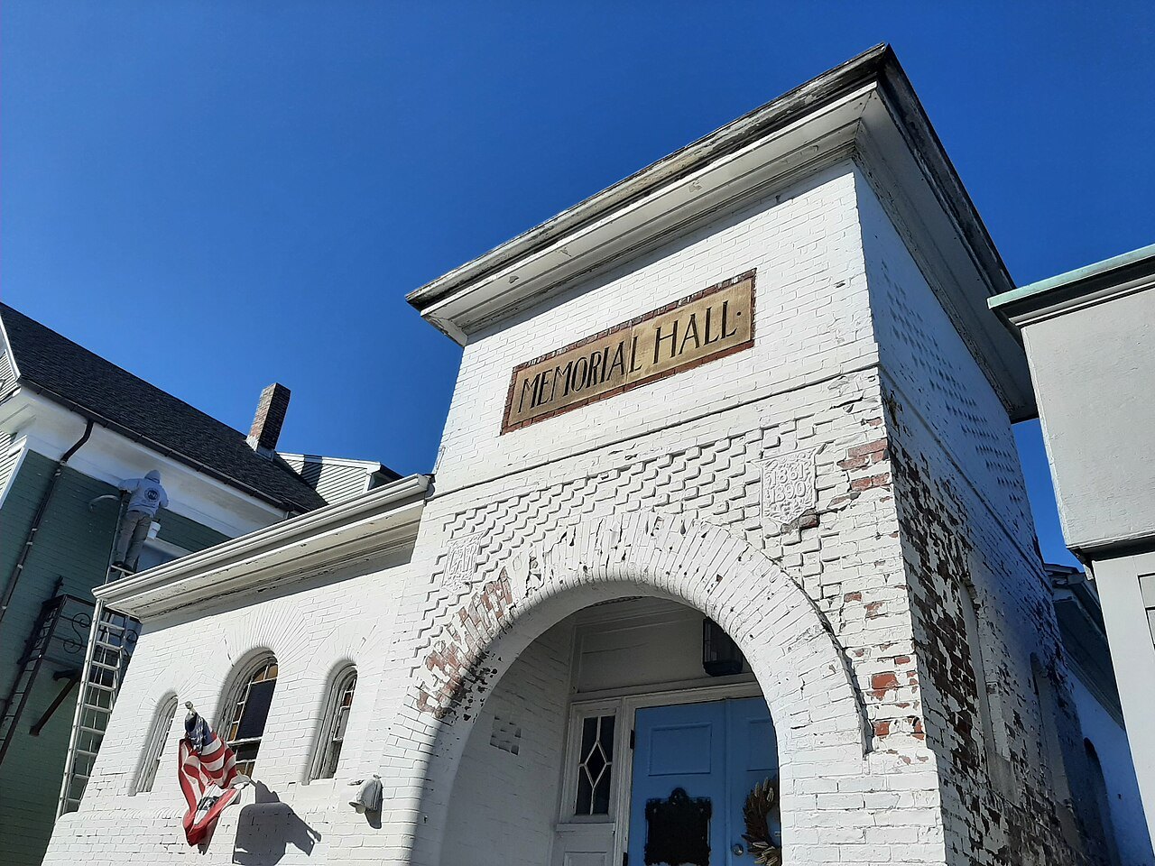
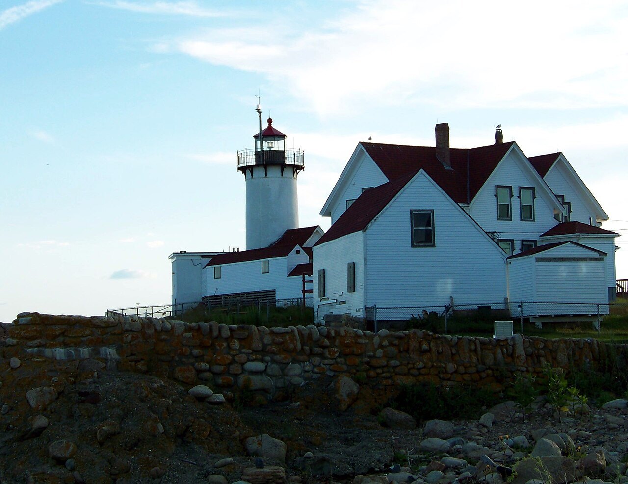
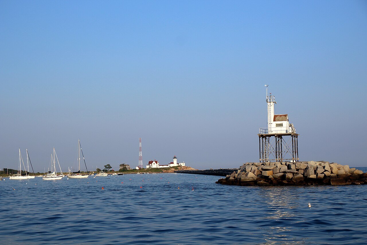
Off Rockport lies Thacher Island, part of the town, named for Anthony Thacher and his wife, who reached it after their ship was wrecked in the Great Colonial Hurricane of 1635. The waters around it are perilous and full of wrecks, and in 1771 the provincial government authorized two lighthouses there at the petition of sea captains. In July 1775 Gloucester minutemen put the lights out, fearing they helped the British fleet. Both towers were rebuilt and lit in 1861; they stand nine hundred feet apart and are 124 feet high.
At the northern tip of the cape, Halibut Point State Park holds the old quarries where Scandinavian immigrants cut granite, where the cape's granite trade can still be read in the cut rock.
How to visit
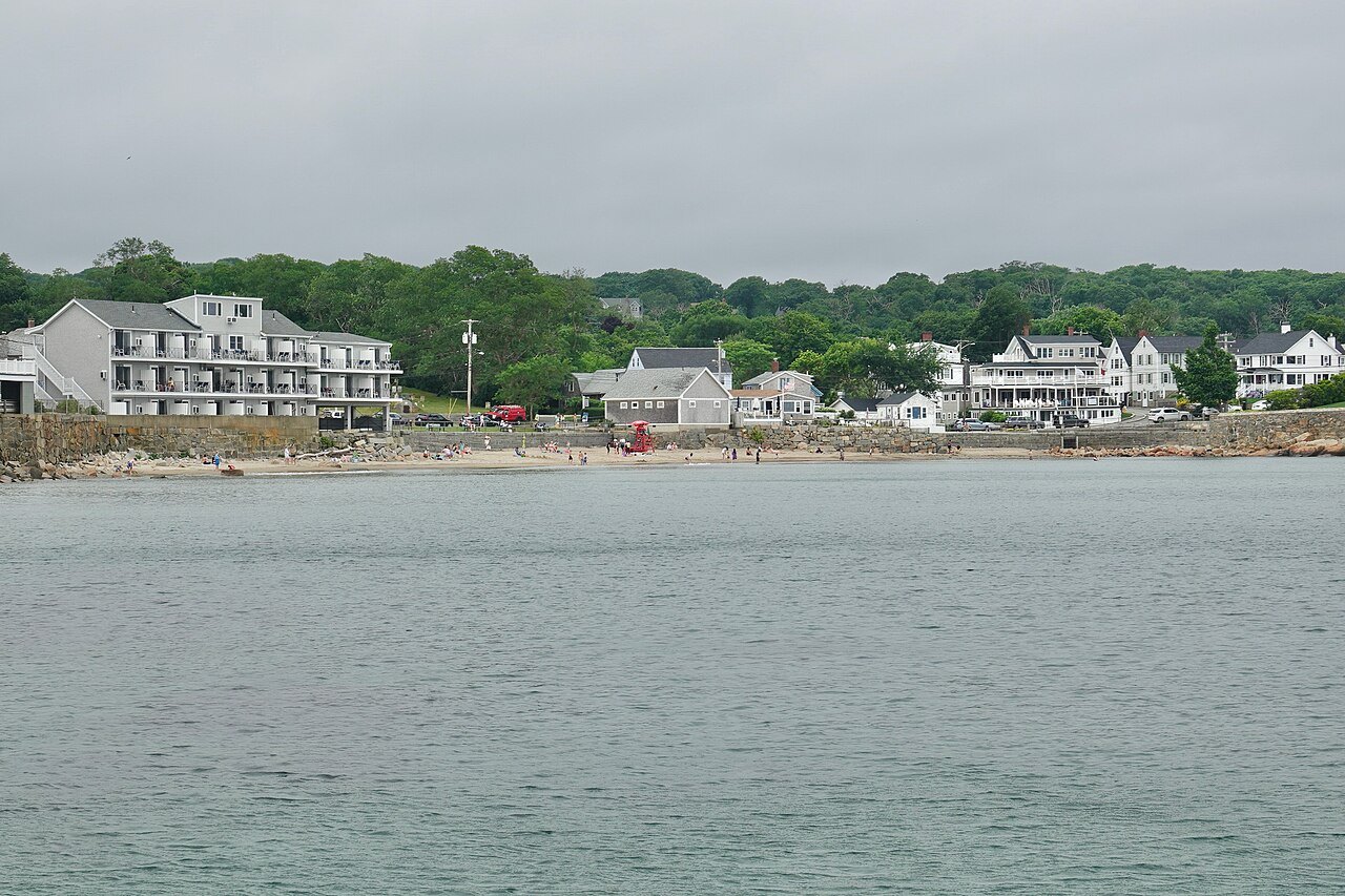
Cape Ann is a day trip from Boston by car or by the commuter rail to Gloucester and Rockport, and a longer stay rewards the loop road around the cape. In Rockport, see Motif Number 1 from the harbor and walk out along Bearskin Neck; in Gloucester, walk the waterfront to the Man at the Wheel and look across to Rocky Neck. Thacher Island is best seen from the shore or from the water. Summer weekends are the busiest; spring and autumn bring the same light with more room on the wharves.
Where to go nextIII
Nearby
- Nearby · North ShoreSalemA harbor city on the North Shore, settled in 1626, known the world over for the witch trials of 1692 and, less loudly, for the China trade that made it one of the richest ports in the new republic.Read the page →
- Nearby · Greater BostonBostonThe capital of Massachusetts, founded on the Shawmut Peninsula in 1630 and grown by filling in its marshes: a city of neighborhoods, from Beacon Hill and the North End to the Back Bay, walkable end to end.Read the page →
- Nearby · Greater Boston · Downtown to CharlestownThe Freedom TrailA walking path of two and a half miles through Boston that links sixteen places from the years before and during the Revolution, from the Common to the Old North Church and the Bunker Hill Monument.Read the page →