Home · Getting Here
Every way inI
Where each arrival puts you
1Boston Logan (BOS)
The largest airport in Massachusetts and New England, in East Boston on the harbor, with non-stop flights across the United States and to Europe. Four terminals, A, B, C and E; international arrivals clear customs in E.
2Worcester Regional (ORH)
A smaller airport three miles west of Worcester, run by Massport like Logan, with a handful of scheduled routes. Worth checking if you are heading for the middle of the state.
3The Northeast Corridor
Amtrak's electrified line down the coast through Providence, New Haven and New York, with the high-speed Acela. It ends at South Station, with a stop at Back Bay.
4The Lake Shore Limited
Amtrak's overnight train from Chicago, whose Boston section runs from Albany by way of Springfield and Worcester, crossing the whole state from west to east.
5The Downeaster
Amtrak's train from Brunswick, Maine, into North Station in Boston, five round trips a day on a 145-mile route.
6The Massachusetts Turnpike
Interstate 90, the Mass Pike, the longest interstate in the state at 138 miles, from the New York line in West Stockbridge to Boston and Logan. A toll road.
7Interstate 95
The East Coast highway enters from Rhode Island at Attleboro and bypasses Boston on a beltway shared with Route 128, then leaves for New Hampshire.
8South Station Bus Terminal
Boston's intercity and commuter bus terminal, above the train platforms at South Station, with the Red Line and Silver Line underneath.
In fullII
Getting Here
Where to arrive
Massachusetts is small enough that one arrival serves the whole state. Boston is the front door: its airport, its two rail terminals and its highways all meet within a few miles of each other, and from there the rest of the Commonwealth is a train, a bus, a ferry or a drive away. The only real question is which end of the state you are heading for first. For Boston itself, Cambridge and the North Shore, arrive in Boston and do without a car. For the Cape and the islands, arrive in Boston and continue by road, bus or ferry. For the Pioneer Valley and the Berkshires, a car picked up at the airport and the Massachusetts Turnpike west are the simplest way.
The pages on driving and getting around cover what happens after you land; this page covers the arrival itself.
Boston Logan
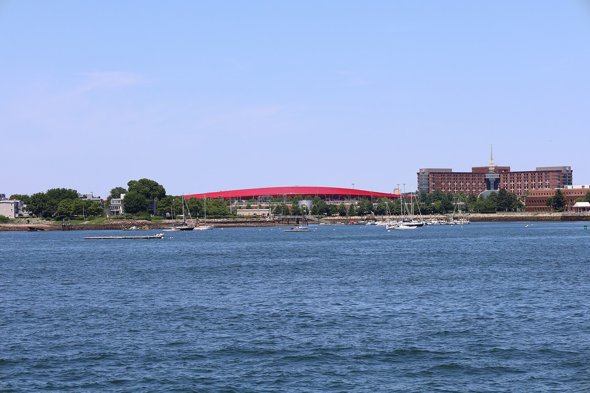
General Edward Lawrence Logan International Airport, known to everyone as Logan, opened in 1923 and is the largest airport in both Massachusetts and New England by passengers and cargo, and the busiest in the Northeast outside the New York area. It lies mostly in East Boston, across the harbor from downtown, and partly in the town of Winthrop, on 2,384 acres, much of it landfill laid over former harbor islands in the 1940s and 1950s. It has six runways and four lettered terminals, A, B, C and E; flights from abroad arrive at Terminal E, the only one with customs screening, except for those that cleared United States customs before departure.
Logan has non-stop service across the United States and to Europe. It is an operating base for JetBlue, the secondary transatlantic hub for Delta, and the northeastern hub for Cape Air, the small-plane airline that flies to the islands and the outer Cape.
From Logan into the city
The airport sits close to downtown, and there are several ways across the water. The SL1 branch of the MBTA Silver Line, a bus rapid transit route, calls at every terminal and runs through the harbor tunnel to South Station, where it meets the Red Line, the commuter trains, Amtrak and the intercity buses. The Blue Line subway has a station called Airport, which is not in the terminals themselves; free shuttle buses link it to each terminal, and the Blue Line then runs to State, where it meets the Orange Line, and to Government Center for the Green Line. In 1952 Logan became the first airport in the United States with a rapid transit connection, when that Blue Line station opened.
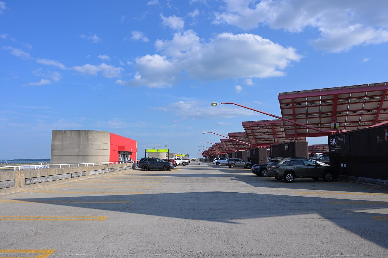
Massport's Logan Express buses run to park-and-ride lots at Back Bay, Braintree, Framingham, Danvers and Woburn, which suits travelers staying in the suburbs. Free shuttles also run to the water transportation dock on Harborside Drive for the boats across the harbor, and to the Rental Car Center, which gathers the rental companies in one building of four levels. From there the Massachusetts Turnpike begins at the airport's edge and runs west through the Ted Williams Tunnel.
By train
Boston has two rail terminals a mile apart, with no rail link between them, so check which one your train uses. South Station, a Classical Revival building of 1899 on Dewey Square downtown, is the busiest railroad station in Greater Boston and New England's second-largest transportation center after Logan. It is the terminus of Amtrak's Northeast Corridor, the busiest passenger line in the United States, which runs down the coast through Providence, New Haven, Stamford and New York; the high-speed Acela reaches its top speeds on stretches in Massachusetts and Rhode Island. Trains also stop at Back Bay station, handy for the hotels of the Back Bay.
South Station is also the Boston end of the Lake Shore Limited, Amtrak's overnight train from Chicago along the southern shore of Lake Erie. At Albany the train divides, and the Boston section crosses Massachusetts by way of Springfield and Worcester, so it can drop you in the Connecticut River valley or the middle of the state as well as in the city.
North Station, under the TD Garden arena on Causeway Street, serves the northern commuter lines and Amtrak's Downeaster, five daily round trips over 145 miles from Brunswick, Maine, with stops in New Hampshire and the Massachusetts towns of Haverhill and Woburn. The Green and Orange Lines stop beneath it.
By car
Two interstates carry most drivers into the state. The Massachusetts Turnpike, Interstate 90, known as the Mass Pike, is a toll road and the longest interstate in Massachusetts at 138 miles. It opened in 1957 and begins at the New York line in West Stockbridge, where it joins the New York State Thruway, and runs east past Springfield, Sturbridge and Worcester to Boston, ending at Route 1A in East Boston by the airport. It meets Interstate 91 in West Springfield for the Pioneer Valley and Interstate 84 in Sturbridge for traffic from Hartford.
Interstate 95 comes up the coast from Rhode Island, entering at Attleboro. It does not go through Boston: it runs on a beltway about fifteen miles out, shared with the old Route 128, through Canton, Dedham, Weston, Waltham, Lexington and Burlington, then heads north for New Hampshire. Boston and Washington are the only two major East Coast cities the interstate bypasses. The scenic drives page covers the slower roads.
By bus
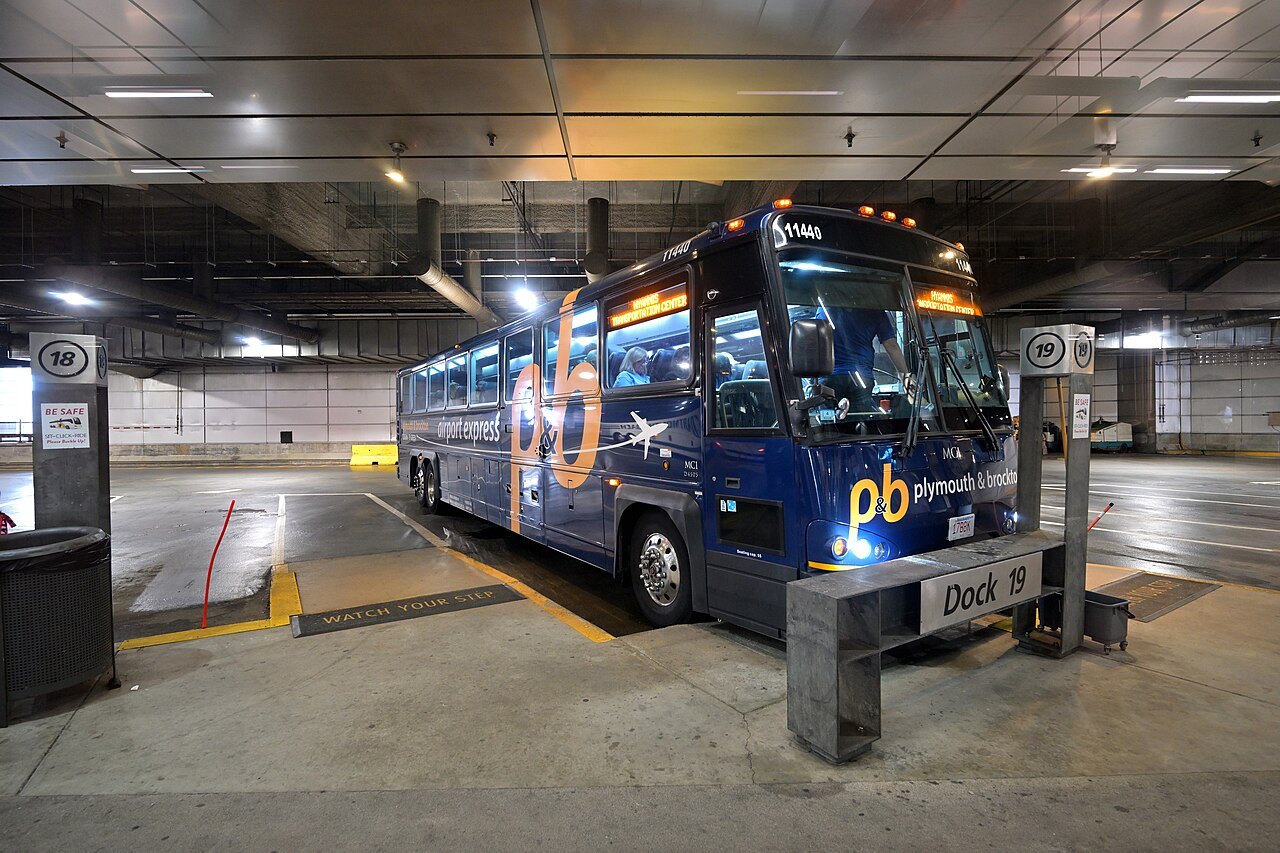
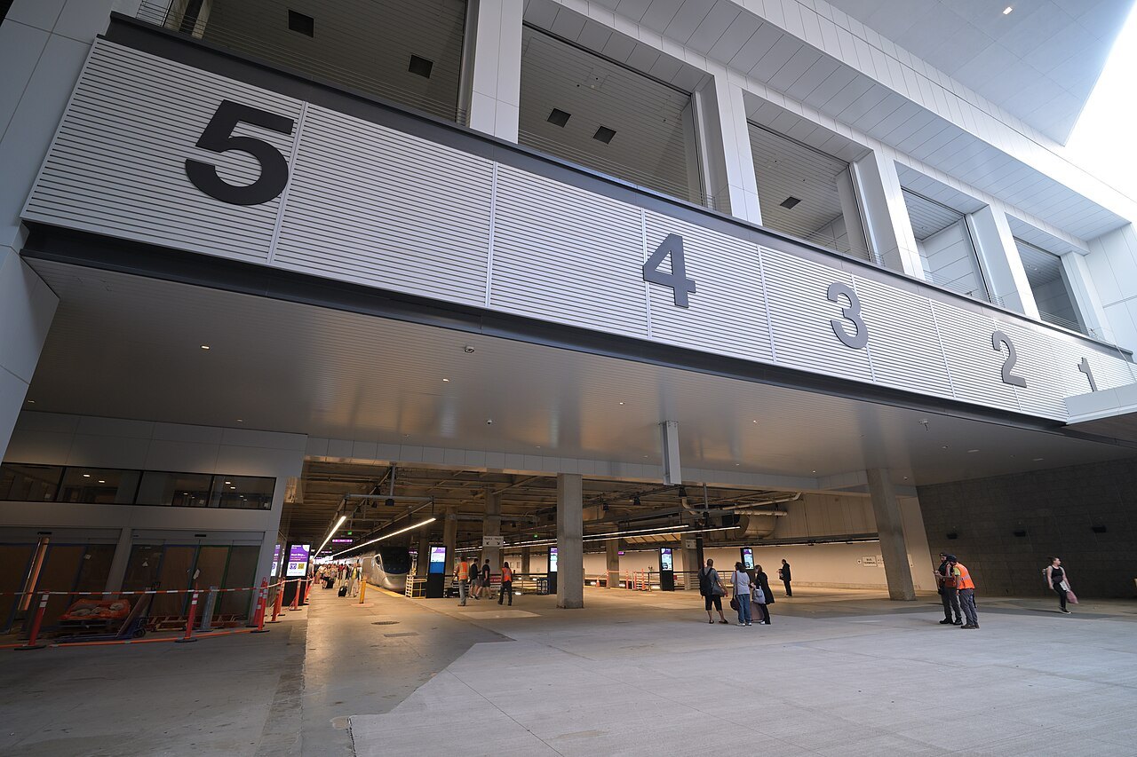
The South Station Bus Terminal, above the train platforms, is Boston's intercity and commuter bus terminal; it opened in 1995. Buses from here run to the other cities of the Northeast and to the Cape, where Plymouth and Brockton and Peter Pan buses run daily to the Hyannis Transportation Center, with local buses on toward Provincetown. Coming by bus means arriving right on top of the Red Line and the Silver Line to the airport.
The Cape and the islands
For Cape Cod, drivers cross the Cape Cod Canal on the Sagamore Bridge or the Bourne Bridge, the only two road crossings of the canal. In summer the CapeFLYER train, run with the MBTA, leaves South Station for the Cape on weekends from Memorial Day weekend to Labor Day weekend. Martha's Vineyard and Nantucket are reached by ferry from Woods Hole, Hyannis and elsewhere, or by small plane: Cape Air flies to the Vineyard year-round from Boston.
Choosing the arrival
If you are flying in, choose Logan and plan the first days in Boston before picking up a car. Coming from New York, the train to South Station is usually the easiest way to arrive, since it needs no parking in the city. Coming from the west, the Turnpike brings you through the Berkshires, and it makes sense to start there and work east. See the itineraries for how the arrivals fit a trip.
Some links on this page are affiliate links. If you book through one we may earn a commission, at no extra cost to you. It does not affect what is recommended here, and no landmark or city page on this site carries one.
Arranged before you land:
Seen on the wayIII
More photographs
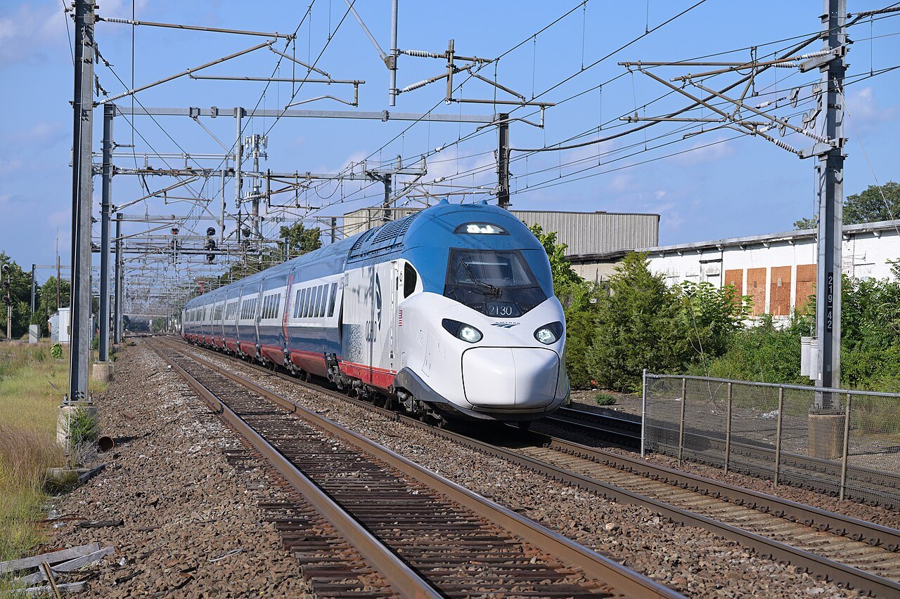
A new Acela train on the Northeast Corridor near Boston4300streetcar, Wikimedia Commons, CC BY 4.0 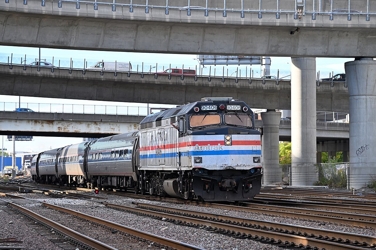
An Amtrak Downeaster approaching North Station beneath the highway4300streetcar, Wikimedia Commons, CC BY 4.0 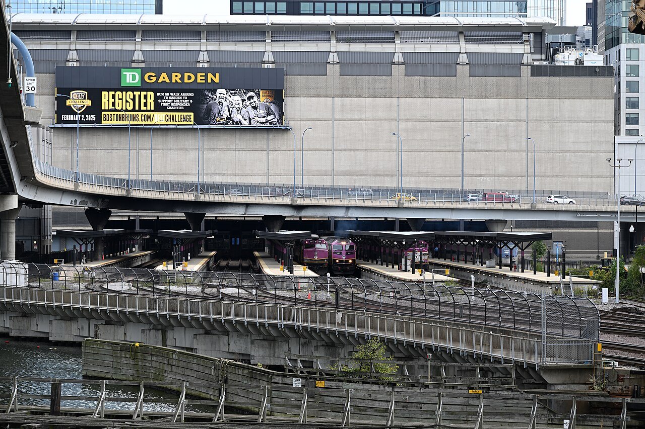
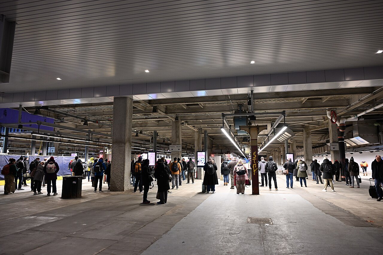
North Station's tracks beneath the TD Garden arena4300streetcar, Wikimedia Commons, CC BY 4.0