Home · Landmarks · The Freedom Trail
What you are looking atI
The Freedom Trail, Boston
Greater Boston · Downtown to Charlestown
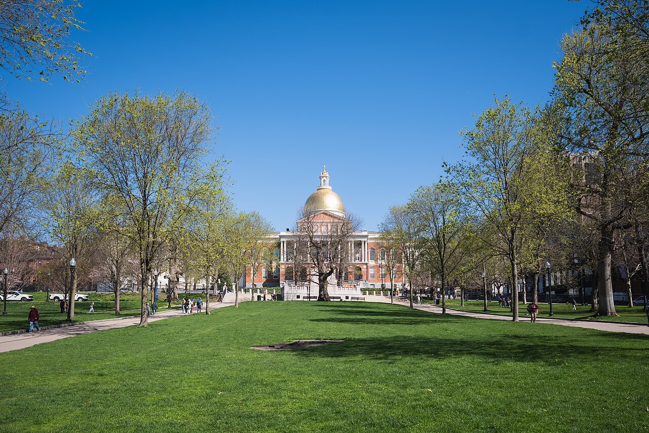
- Boston CommonThe start: the oldest city park in the United States, with the visitor center on its Tremont Street side.
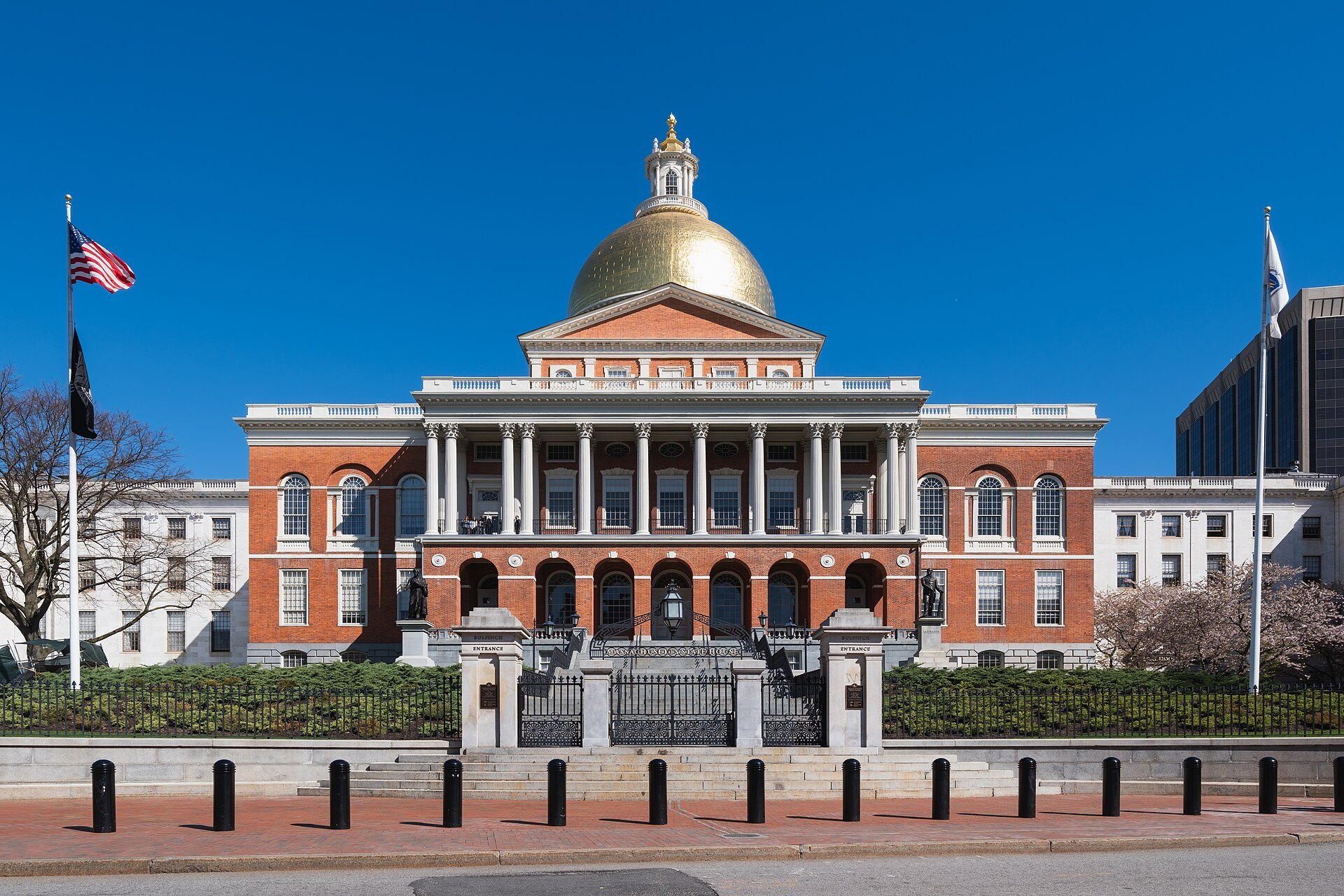
- The State HouseCharles Bulfinch's capitol of 1798 on Beacon Hill, the seat of the Commonwealth's government.
- Park Street and the GranaryA steeple that was the tallest building in the country, beside the graves of Revere, Hancock and Adams.
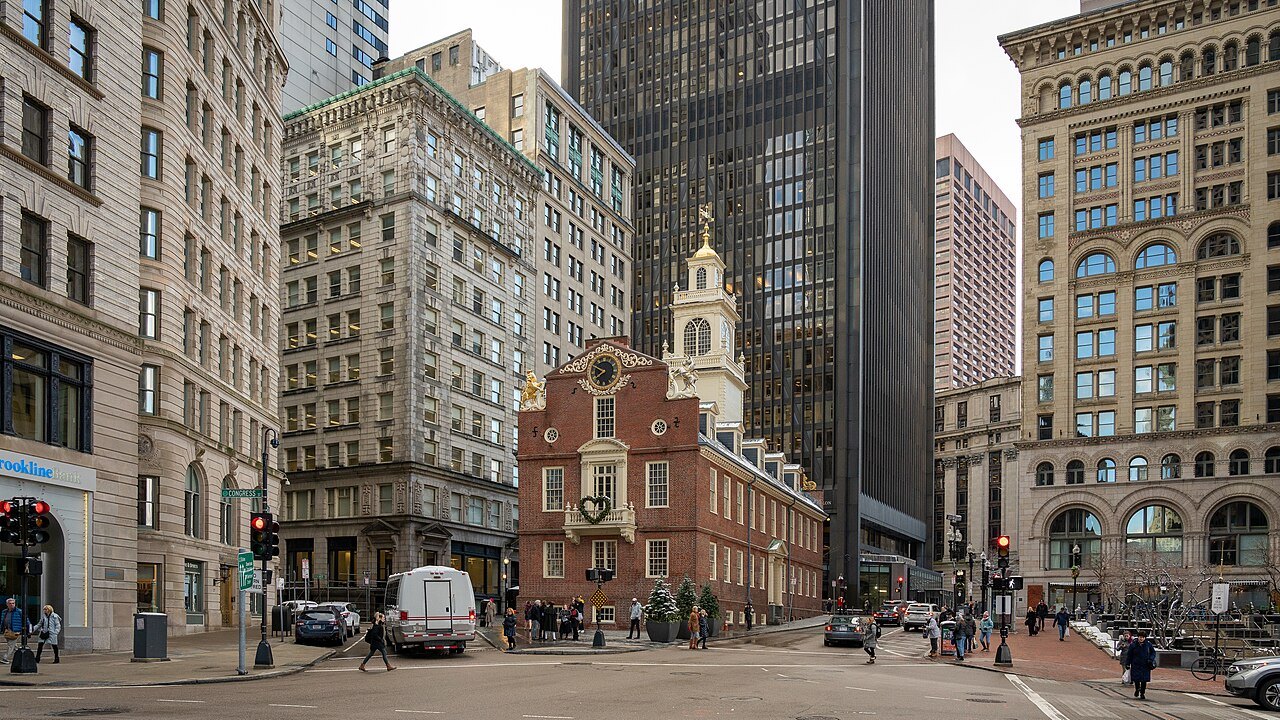
- The Old State HouseBoston's oldest public building, from 1713, where the Declaration was read from the balcony in 1776.
- Faneuil HallThe market and meeting hall of 1742, where the Park Service keeps its visitor center.
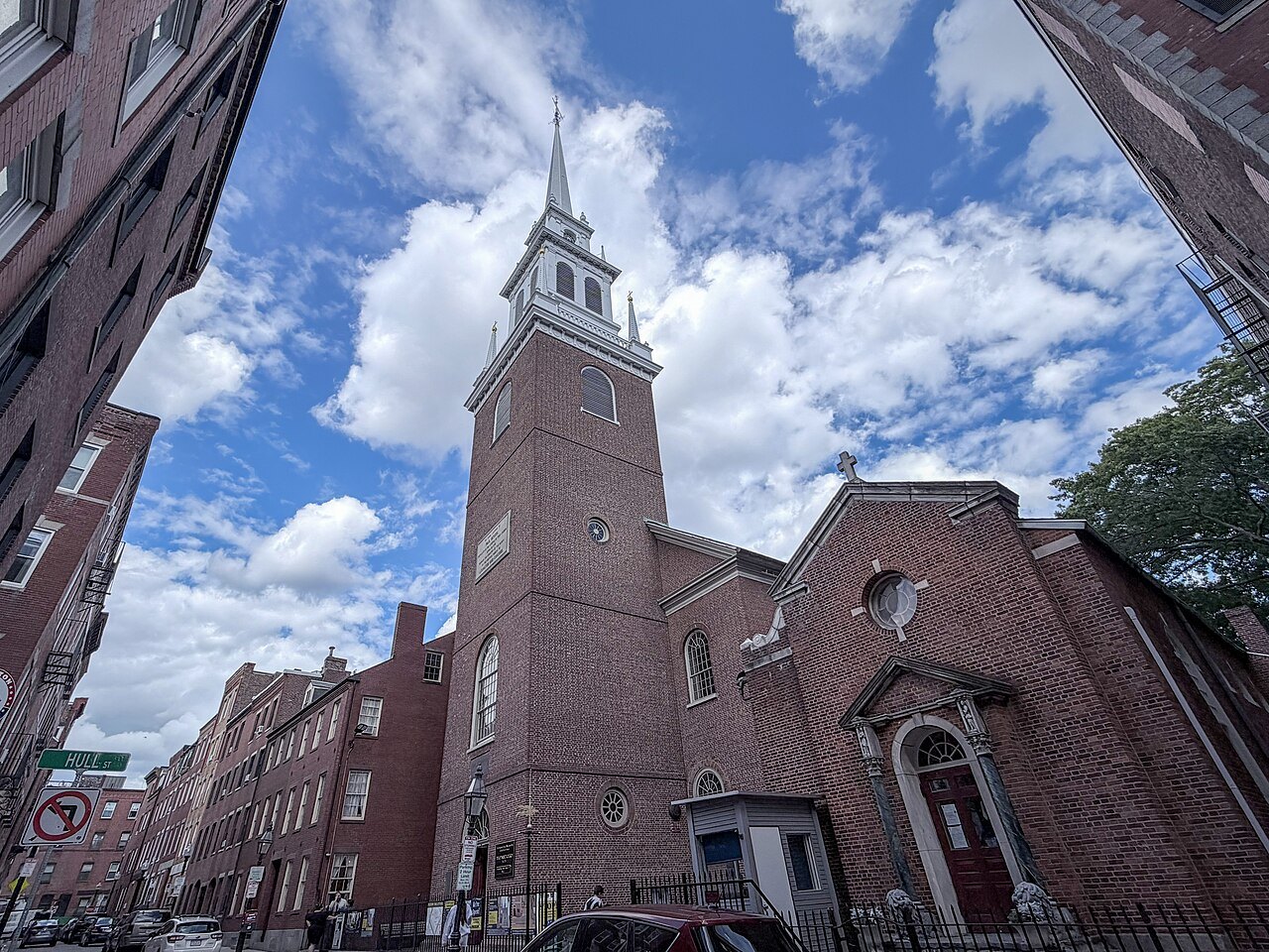
- The North EndPaul Revere's house of about 1680 and the Old North Church, where two lanterns were hung.
- CharlestownAcross the harbor, USS Constitution and the granite obelisk on Breed's Hill.
The place in fullII
Reading the place
Why it matters
The Freedom Trail is a path of about two and a half miles through Boston that passes sixteen places significant in the history of the United States. It winds from Boston Common in downtown Boston through the old commercial center and the North End, crosses the water to Charlestown, and ends at the Bunker Hill Monument. The stops are churches, meeting houses, burying grounds, public buildings, a house and a warship; between them run simple ground markers that keep a walker on the route.
It was the idea of a journalist, William Schofield, who in 1951 suggested a pedestrian trail to link the city's landmarks. Mayor John Hynes put the idea into action, and by 1953 some 40,000 people a year were walking it. The trail is overseen by the city's Freedom Trail Commission and supported by grants, private gifts and Boston National Historical Park. It is the simplest way to see how small the colonial town was: most of what happened in Boston before the war happened within a few minutes' walk of the Old State House.
From the Common to Beacon Hill
The trail begins on Boston Common, the oldest city park in the country, where the city's visitor center stands on the Tremont Street side. Above it, on the crest of Beacon Hill, is the Massachusetts State House, the seat of the Commonwealth's government. Charles Bulfinch designed it, and it was completed in January 1798; Paul Revere, then Grand Master of the Grand Lodge of Massachusetts, presided at the laying of its cornerstone on July 4, 1795. It has been enlarged several times since, with a long wing added in 1895 and east and west wings in 1917, and it is counted a masterpiece of Federal architecture.
Down the slope at the corner of Tremont Street stands Park Street Church, founded in 1809. Its steeple rises 217 feet, and from 1810 to 1828 the church was the tallest building in the United States; for much of the early nineteenth century it was the first landmark travelers saw as they approached Boston. It earned the nickname Brimstone Corner, partly for the fervor of its preaching and partly because gunpowder was stored there during the War of 1812.
Burying grounds and the King's Chapel
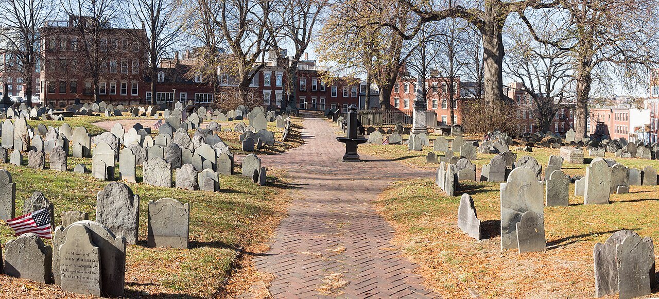
Next to the church lies the Granary Burying Ground, founded in 1660 as the town's third cemetery. It takes its name from the granary that stood where Park Street Church now stands. Paul Revere is buried here, with the five victims of the Boston Massacre and three signers of the Declaration of Independence: Samuel Adams, John Hancock and Robert Treat Paine. There are 2,345 grave markers, and historians estimate that as many as 5,000 people lie in the ground; the Egyptian Revival gate is by the architect Isaiah Rogers.
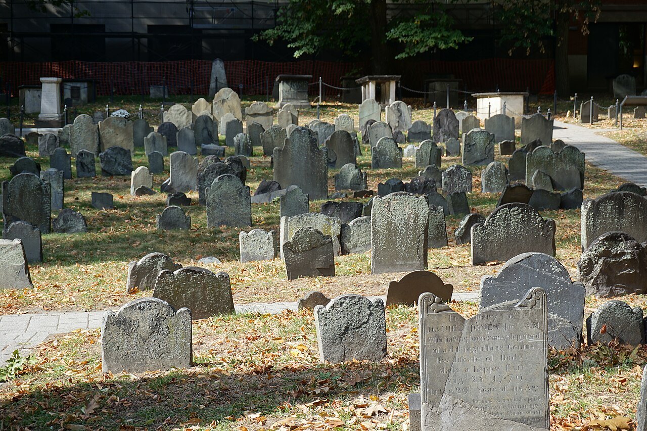
A block away at Tremont and School Streets is King's Chapel, a granite building completed in 1754 to a design by Peter Harrison. The congregation was founded in 1686 as the first Anglican church in colonial New England, and the stone chapel was built around the wooden one, which was then taken apart and passed out through the new windows. The King's Chapel Burying Ground beside it is older than the chapel by more than a century.
The old town center
At the corner of Washington and School Streets stands the Old Corner Bookstore, built in 1718 as a house and apothecary shop on the site of Anne Hutchinson's home. It became a bookstore in 1829, and from 1832 to 1865 it housed the publishers led by William Ticknor, where Longfellow, Emerson, Hawthorne, Dickens and Oliver Wendell Holmes met.
A short walk south is the Old South Meeting House, built in 1729, the organizing point for the Boston Tea Party in 1773. It hosted town meetings too large for Faneuil Hall; British troops gutted it in 1775 and used it for riding. Saved by one of the area's first preservation campaigns, it has been a museum since 1877.
Back up Washington Street is the Old State House, completed in 1713, the city's oldest surviving public building. Outside it, on March 5, 1770, soldiers fired into a crowd in what became known as the Boston Massacre, and on July 18, 1776, the Declaration of Independence was read from its east balcony, after which the crowd tore down the lion and unicorn from the roof. Copies of both beasts are back in place.
Faneuil Hall and the North End
From the Old State House the trail runs to Faneuil Hall, the market and meeting hall of 1742 that became known as the Cradle of Liberty; the National Park Service keeps a visitor center on its first floor, with maps of the trail. Beyond it the route enters the North End.
In North Square is the Paul Revere House, built no later than 1680, the oldest building on the trail. Revere owned it from 1770 to 1800; after him it became a tenement with shops on the ground floor, and a descendant sold it to the Paul Revere Memorial Association, which opened it as a museum in 1908. It keeps the second-floor overhang and casement windows of its first form, and furniture that belonged to the family.
On Salem Street is the Old North Church, officially Christ Church, built in 1723 and the oldest standing church in Boston. On the night of April 18, 1775, two lanterns were hung in its steeple to warn that British troops were moving by water; they were taken down within two minutes. Longfellow's poem of 1860, Paul Revere's Ride, tied the church to the line "one if by land, and two if by sea". Its eight bells, cast in 1744, are the oldest change-ringing bells in North America.
Across the water to Charlestown
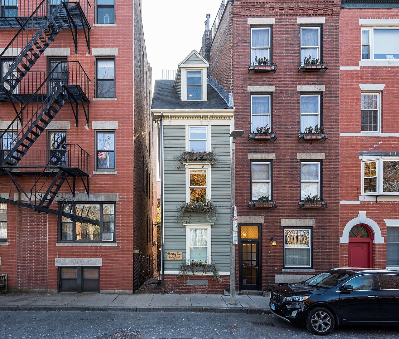
The last stops are in Charlestown, across the harbor by the bridge. At the Charlestown Navy Yard lies USS Constitution, launched in 1797 and the oldest naval vessel still afloat, and on Breed's Hill above it stands the Bunker Hill Monument, a 221-foot granite obelisk begun in 1825 and dedicated on June 17, 1843, the anniversary of the battle it remembers.
Walking the whole route takes most of a day with time inside the buildings; many people walk the downtown half one day and the North End and Charlestown the next. Most of the stops are free or ask for a donation, while the Old South Meeting House, the Old State House and the Paul Revere House charge admission.
What the trail leaves out
The trail tells one story, and some observers have noted that its frame leaves places out, among them the sites of the Boston Tea Party and the Liberty Tree. It is also a route through a living city: Park Street Church and King's Chapel hold services, the Old North Church still has its congregation, and the State House is a working seat of government. Read the stops as the parts of a small colonial town that happened to survive, not as a museum laid out for a visit.
Where to go nextIII
Nearby
- Nearby · Greater Boston · Beacon HillBoston Common and the Public GardenThe oldest city park in the United States, fifty acres of lawn and hill below the State House, and beside it the Public Garden of 1837, with its lagoon, its little bridge and the Swan Boats.Read the page →
- Nearby · Greater Boston · DowntownFaneuil Hall and Quincy MarketThe red-brick market and meeting hall of 1742 that Boston calls the Cradle of Liberty, and behind it the three granite market buildings of 1826 that became the Faneuil Hall Marketplace.Read the page →
- Nearby · Greater Boston · CharlestownUSS Constitution and Bunker HillOld Ironsides, launched in 1797 and the oldest commissioned warship still afloat, moored at the navy yard in Charlestown, and on the hill above it the 221-foot granite obelisk of the Bunker Hill Monument.Read the page →