Home · Driving
Once you are hereI
Six ways to move
- On foot
On foot
Boston is compact, and a larger share of its people walk to work than in any other major American city. Downtown, the North End, Beacon Hill and the Back Bay are best seen walking.
- Underground
The T
The MBTA's subway: the Red, Orange and Blue Lines, the Green Line streetcars and the Silver Line buses. All four subway lines cross downtown; directions are called inbound and outbound.
- By train
Commuter rail
Twelve lines from South Station and North Station to 143 stations, north to Newburyport and Rockport, west to Worcester and Fitchburg, south to Plymouth and beyond.
- By car
A car
The easy way to see the Cape, the valley and the Berkshires. The Turnpike is tolled electronically by gantries, with no booths and no cash.
- On two wheels
Bluebikes
Boston's bike share, launched in 2011 as Hubway, now some 4,500 bikes at 480 stations.
- By bus
Regional buses
Each region runs its own buses: the Cape Cod Regional Transit Authority, the Pioneer Valley Transit Authority around Northampton, and the Nantucket Regional Transit Authority's year-round buses on Nantucket.
In fullII
Driving
Two ways to travel
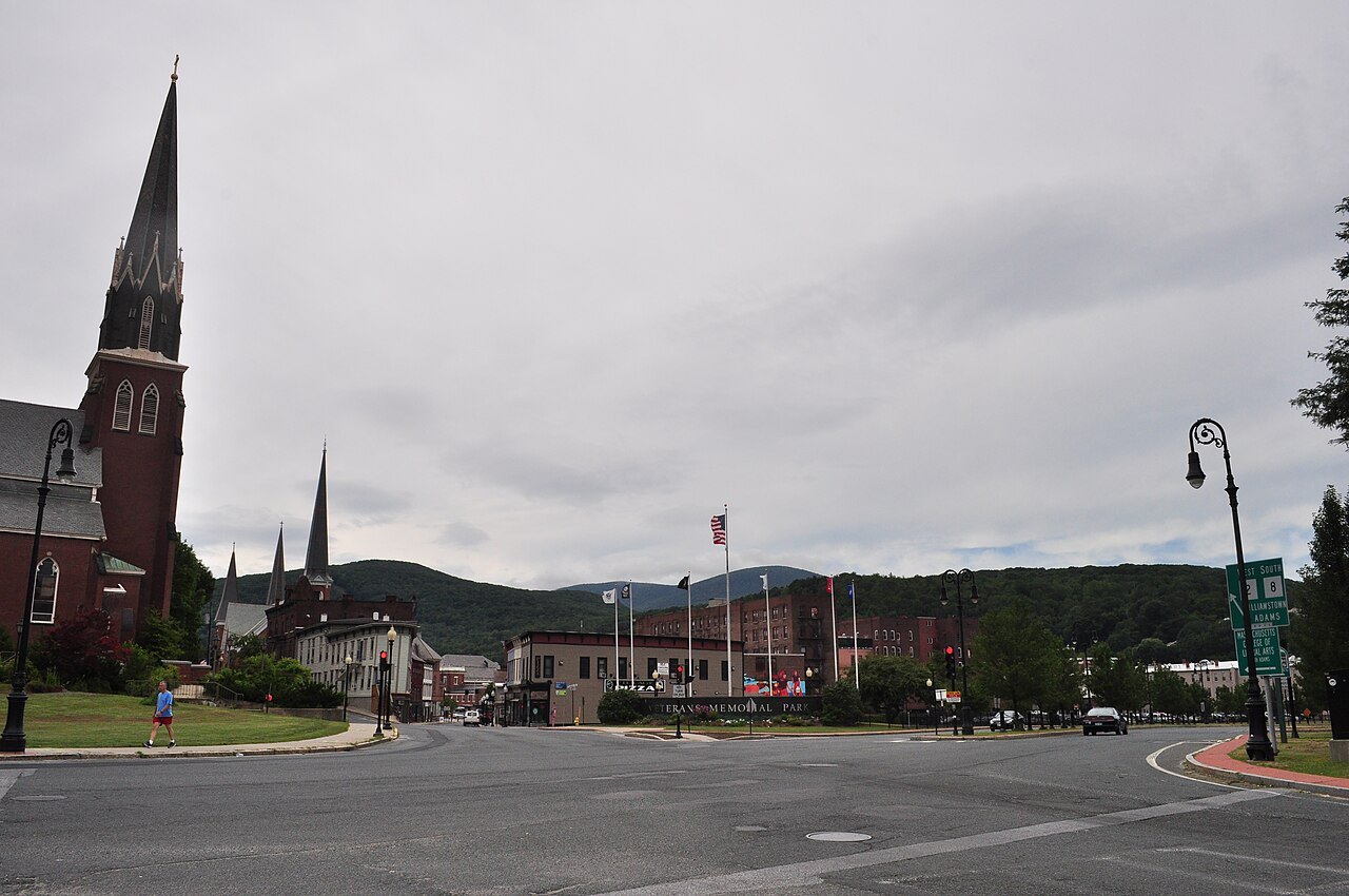
Massachusetts divides neatly in two for a traveler. In Boston, Cambridge and the older towns around them, the streets are narrow, parking is scarce and the public transportation is good, so leave the car. Everywhere else, from the dunes of the Cape to the hill towns of the Berkshires, a car is the practical way to move, and most of the best places, Old Sturbridge Village, Hancock Shaker Village and the outer beaches among them, are hard to reach any other way.
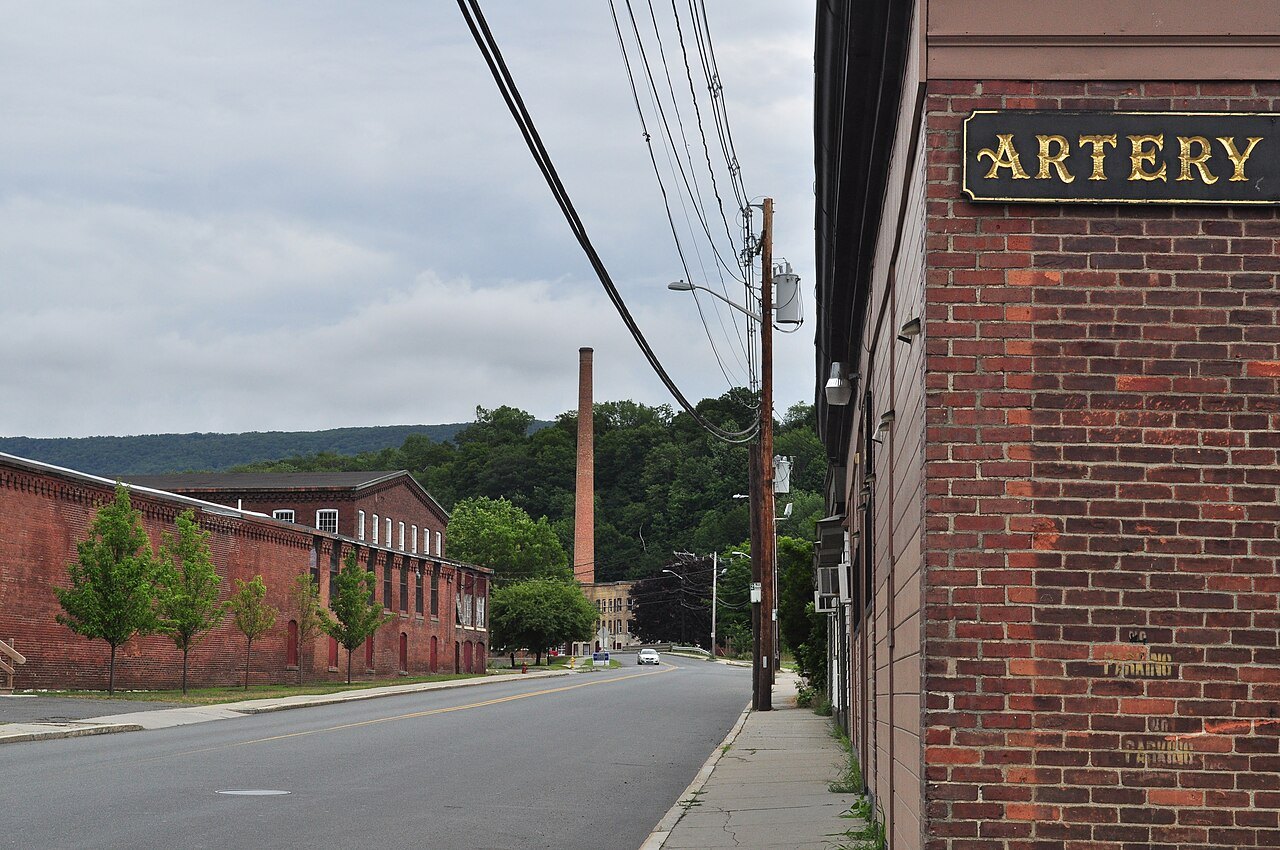
The usual plan is to spend the Boston days on foot and on the T, then pick up a rental car on the way out of the city, at the airport's Rental Car Center if you like, and drive on. See Getting Here for the arrival itself.
Boston on foot
Boston is one of the most walkable cities in the country. Owing to its compactness and its large student population, thirteen percent of its residents walk to work, the highest share of any major American city, and the city scores highly for walking, transit and cycling. The center, from the Common and the State House to the waterfront and the North End, is a walk of well under an hour end to end, and the Freedom Trail is a line on the sidewalk you can simply follow.
Across the Charles, Cambridge works the same way: Harvard Square, the Yard and the river are all within an easy walk of the Red Line.
The T
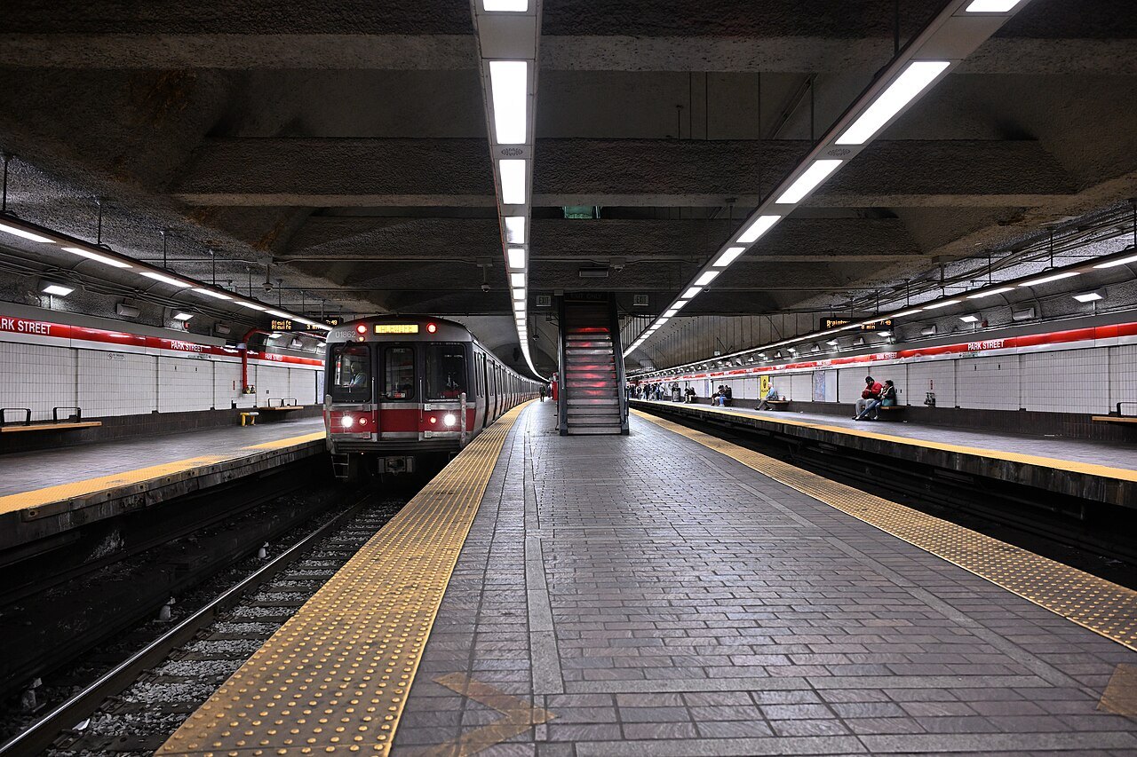
The Massachusetts Bay Transportation Authority, known as the T, runs public transportation across Greater Boston. Its subway has three heavy rail lines, the Red, Orange and Blue, two light rail lines, the Green Line streetcars and the short Mattapan line, and the Silver Line, a bus rapid transit system of five routes that includes the service to the airport. The Tremont Street subway, opened in September 1897 between Park Street and Boylston and now part of the Green Line, was the first subway in the United States, and is a National Historic Landmark.
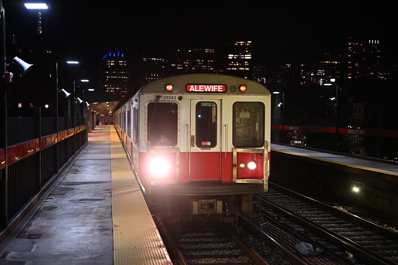
All four subway lines cross downtown and meet at a handful of central stations. Because the lines run in every direction, trains are signed inbound, toward downtown, and outbound, away from it, rather than by compass direction. The Red Line and the Blue Line are the one pair with no direct transfer between them.
The commuter trains
The MBTA Commuter Rail, with its purple-trimmed coaches, runs twelve lines over 429 miles of track to 143 stations, from South Station and North Station. For a visitor it is the car-free way out of the city: the Newburyport/Rockport Line reaches Salem and Cape Ann, the Fitchburg Line stops in Concord center, the nearest station to Walden Pond, the Worcester Line runs west to the state's second city, and the Old Colony lines run south, the Kingston Line toward Plymouth. The two halves of the system do not connect by train, so change between North Station and South Station on the subway.
In summer the CapeFLYER adds weekend trains from South Station to the Cape.
The Turnpike and the interstates
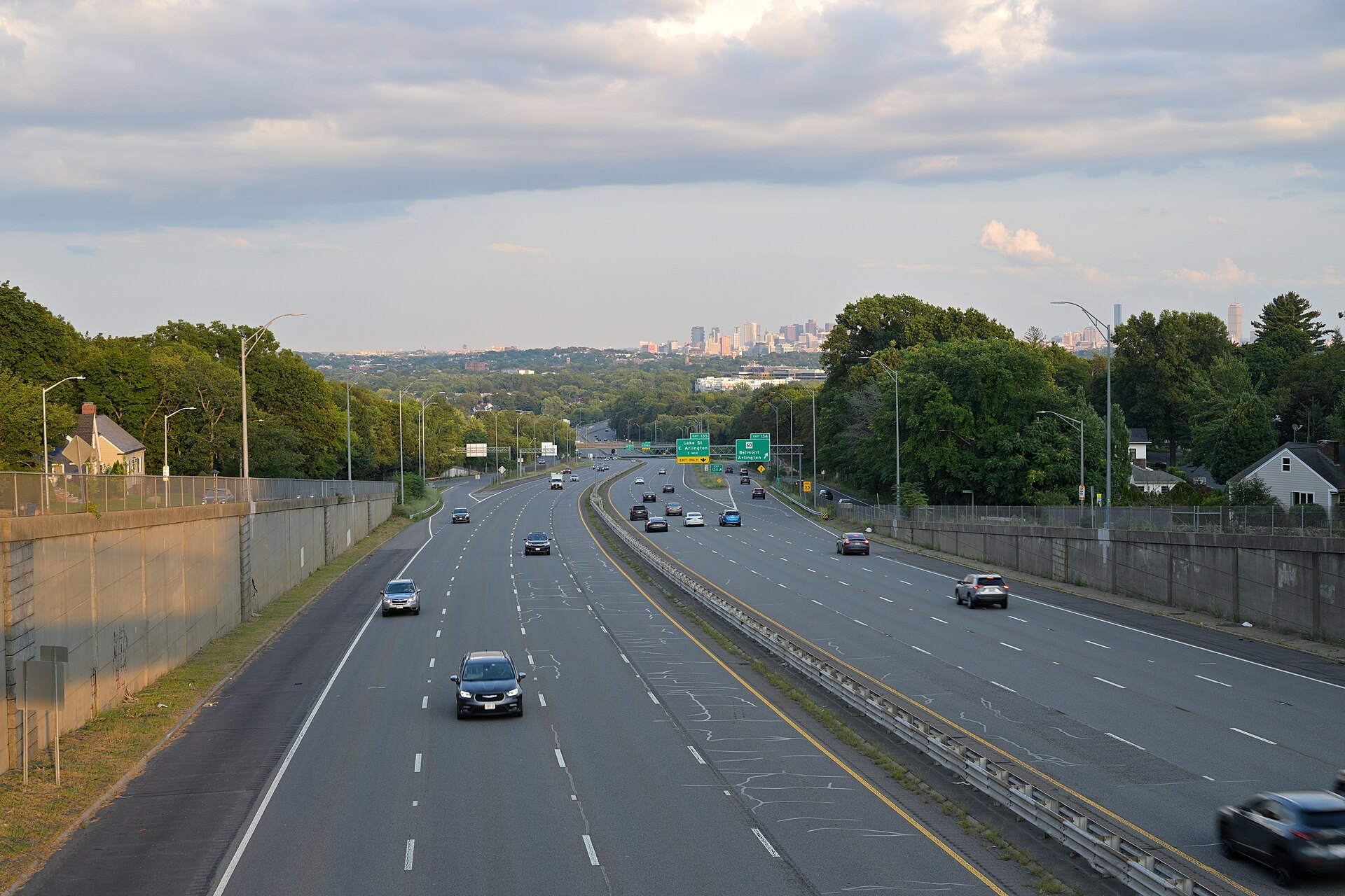
The main road across the state is the Massachusetts Turnpike, Interstate 90, the Mass Pike, 138 miles from the New York line at West Stockbridge to Logan airport. It is a toll road, and since 2016 its tolls have been collected at overhead gantries, not booths: an E-ZPass transponder is charged as you pass, and cars without one are billed by license plate, rental cars included, so ask the rental company how it passes the tolls on.
Two beltways circle Boston: Route 128, the inner one, shared for much of its length with Interstate 95, and Interstate 495 farther out. Route 128 runs on past the interstate to its northern end in Gloucester, a few hundred feet from the Atlantic, which makes it the road to Cape Ann. Interstate 91 runs north and south up the Connecticut River valley past Springfield and Northampton.
Driving in Boston
If you do bring a car into the city, know that the Turnpike runs under downtown and beneath the harbor: it passes through the Fort Point Channel Tunnel into South Boston and then the Ted Williams Tunnel under Boston Harbor to its end by the airport. The Sumner and Callahan tunnels and the Tobin Bridge, the other harbor crossings, are tolled electronically in the same way.
Inside the city a car is more burden than help. The subway reaches nearly everything a visitor wants, the center is small enough to walk, and a car parked for the Boston days and collected on the way out is the easier plan. If you are staying outside the center, a commuter rail station or a Logan Express lot makes a good halfway point.
The old routes
The numbered state routes are where Massachusetts driving is at its best. Route 2, the Mohawk Trail, climbs from the valley over the Hoosac Range to the Berkshires. Route 6 runs the whole length of Cape Cod, and the older Route 6A follows the bay shore through the old villages. Route 127 loops around Cape Ann through Gloucester and Rockport. The scenic drives page takes each of them in turn.
Many older Massachusetts junctions are rotaries, the large-diameter traffic circles built across the United States for fast merging and weaving until construction of them stopped in the 1950s. They take some getting used to: approach slowly, watch the traffic already circling, and pick your exit before you enter.
The Cape and the islands
Cape Cod joins the mainland by two road bridges over the Cape Cod Canal, the Sagamore on Route 6 and the Bourne, both opened to traffic on June 22, 1935, and both carry four lanes over a main span of 616 feet, high enough for ships to pass beneath. Route 3 from Boston ends just north of the Sagamore, which makes it the usual crossing from the city; plan the crossing outside the busiest summer weekend hours.
On the Cape, the Cape Cod Regional Transit Authority runs buses, including flex routes from Provincetown's MacMillan Pier. The islands are reached by ferry or small plane, and a car is rarely needed there: Nantucket's regional transit authority runs buses all year, and on the Vineyard the towns are close enough together for bicycles.
The valley and the hills
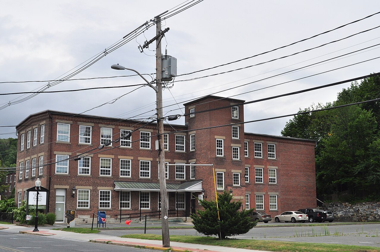
In the Pioneer Valley the Pioneer Valley Transit Authority runs buses from Northampton to Amherst, Hadley, South Hadley, Holyoke and Williamsburg, and to Mount Holyoke, Amherst and Hampshire colleges and the University of Massachusetts, and the rail trails make a bicycle a real way to travel between them. Beyond that, west into the Berkshires or out to the hill towns, plan on a car. Winters are snowy inland, and in the higher hills snowfall can exceed a hundred inches in a year, so allow extra time and check the forecast, as described on When to Come.
Some links on this page are affiliate links. If you book through one we may earn a commission, at no extra cost to you. It does not affect what is recommended here, and no landmark or city page on this site carries one.
For the drive beyond Boston, compare rental cars:
Seen on the wayIII
More photographs
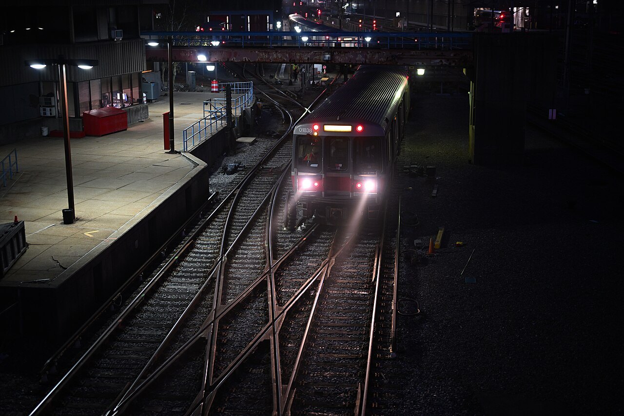
A Red Line train in the yard at dusk4300streetcar, Wikimedia Commons, CC BY 4.0 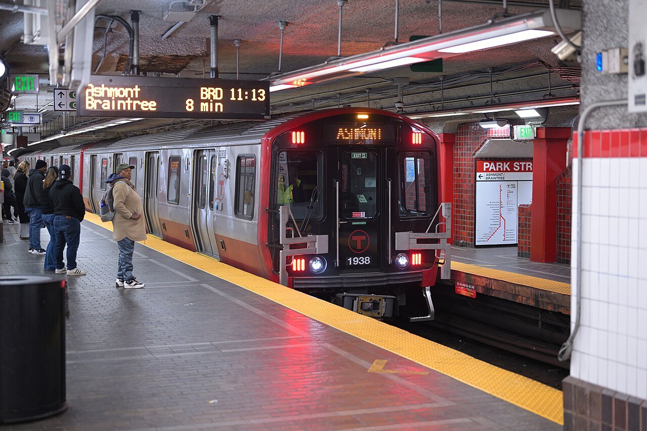
Passengers waiting as a Red Line train stands at Park Street4300streetcar, Wikimedia Commons, CC BY 4.0 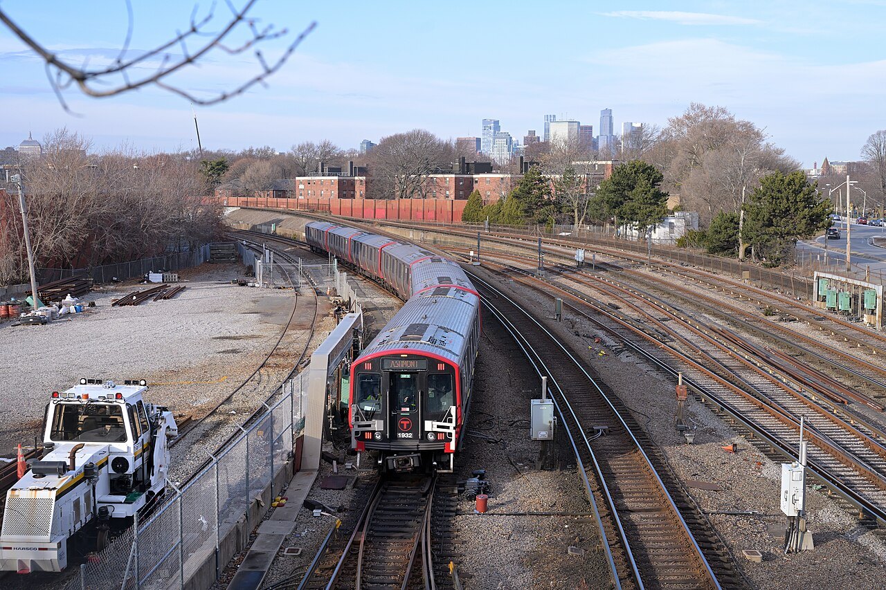
A Red Line train curving toward JFK/UMass station4300streetcar, Wikimedia Commons, CC BY 4.0