The stateI
A small state with a long coastWalk the city, drive the state, take the ferry to the islands.
Between the ocean and the hills
Massachusetts is a New England state on the Atlantic, officially the Commonwealth of Massachusetts. The Gulf of Maine and the ocean lie to its east, Connecticut and Rhode Island to the south, New Hampshire and Vermont to the north and New York to the west. It is the seventh-smallest state by land area, but more than seven million people live here, and Greater Boston, round the capital, is the largest metropolitan area in New England (the cities). The coast runs from the granite of Cape Ann to the arm of Cape Cod; inland come rolling hills, the Connecticut River valley and the Berkshires, where Mount Greylock reaches 3,491 feet. Most visitors land at Logan, in East Boston (getting here), and choose a base for each region (where to stay).
Where the story starts
The Wampanoag, the Nipmuc, the Massachusett and other nations lived here first; the Wampanoag still keep land at Aquinnah on Martha's Vineyard and at Mashpee on the Cape. The Pilgrims of the Mayflower founded Plymouth Colony in 1620, and the Massachusetts Bay Colony settled Boston and Salem in 1630. On April 19, 1775, the Revolutionary War began at Lexington and at the North Bridge in Concord. Begin with the landmarks, then string them into an itinerary or a day on the road (scenic drives).
Roads, boats, weather and the table
Beyond Boston you will want a car: the Massachusetts Turnpike crosses the state for 138 miles, and older routes run town to town (driving). The Steamship Authority and Hy-Line Cruises sail to Nantucket all year, and summer boats add New Bedford and Harwich (ferries and islands). Winters are cold, with snow in every region, summers warm, and the autumn foliage is famous (when to come). The Cape is known for cranberries, oysters, clams and lobster (eating and drinking).
- The Freedom Trail
- Boston Common and the Public Garden
- Faneuil Hall and Quincy Market
- The Museum of Fine Arts, Boston
- The Isabella Stewart Gardner Museum
- Harvard Yard
- USS Constitution and Bunker Hill
- Lexington, Concord and the Old North Bridge
- Walden Pond
- Cape Ann: Rockport and Gloucester
- Plimoth Patuxet and the Mayflower II
- New Bedford, the Whaling City
- Cape Cod National Seashore
- Martha's Vineyard
- Nantucket
- Old Sturbridge Village
- Hancock Shaker Village
- The Mount, Edith Wharton's House
East to westII
A drive across the state
From Boston Common west to the Berkshires: six stops on one road trip, from the Revolution's first miles to the Shaker hills on the New York line.
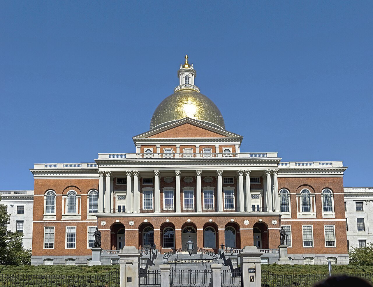
The Massachusetts State House, its gold dome above the portico on Beacon HillFcb981, Wikimedia Commons, CC BY-SA 3.0 Greater Boston · Downtown to CharlestownThe red line through the capital
Start on foot. The Freedom Trail runs two and a half miles past sixteen sites, from Boston Common to the Old North Church in the North End and on to the Bunker Hill Monument. The journalist William Schofield proposed it in 1951.
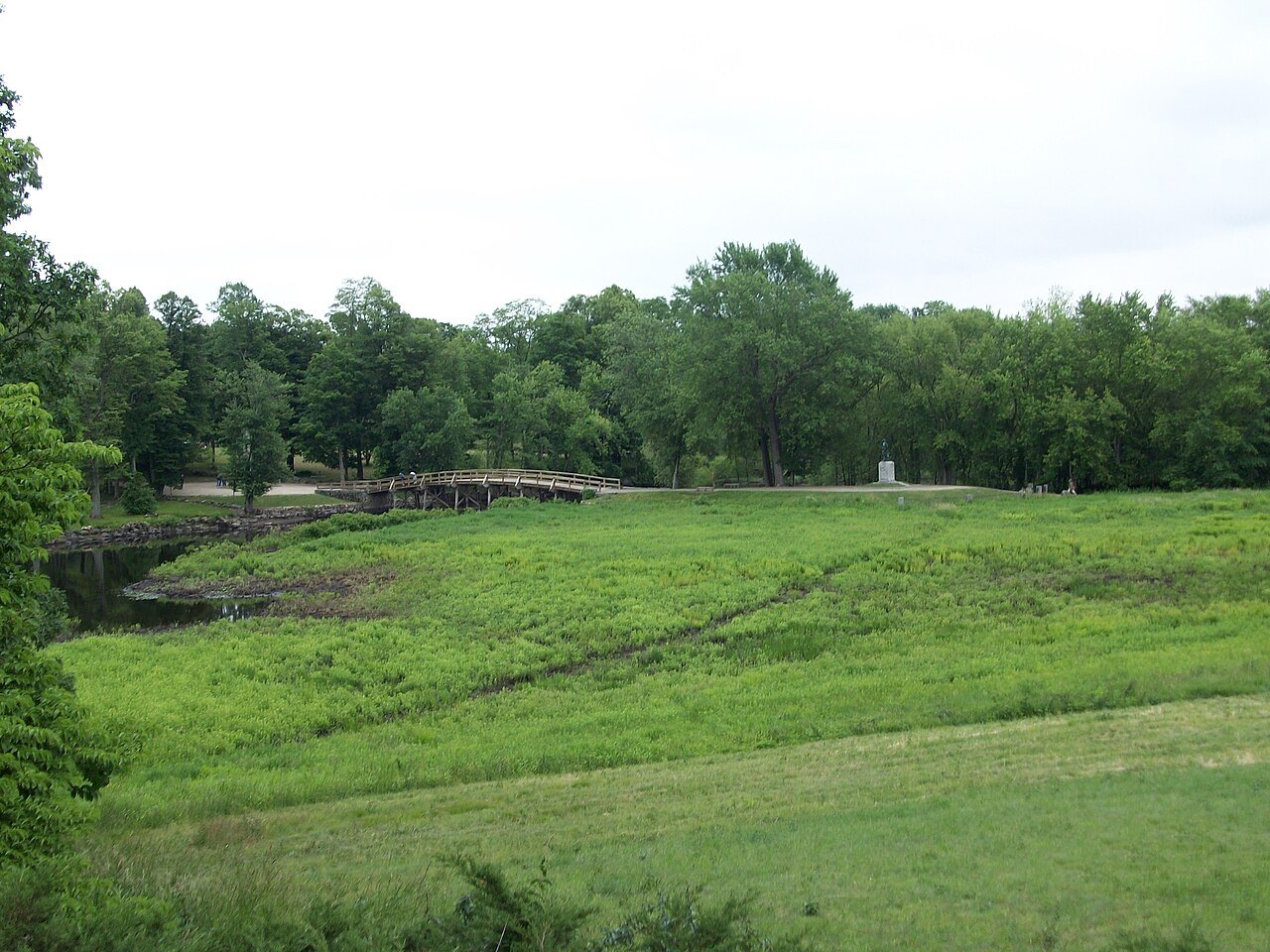
The North Bridge beyond a green meadow along the Concord RiverVitaleBaby at English Wikipedia, Wikimedia Commons, Public domain Greater Boston · ConcordThe bridge at Concord
Then take the car west to Lexington and Concord. At the North Bridge on April 19, 1775, about 400 minutemen and militia met roughly 90 British regulars. Emerson later called it the shot heard round the world. The wooden bridge there now was built in 1956.
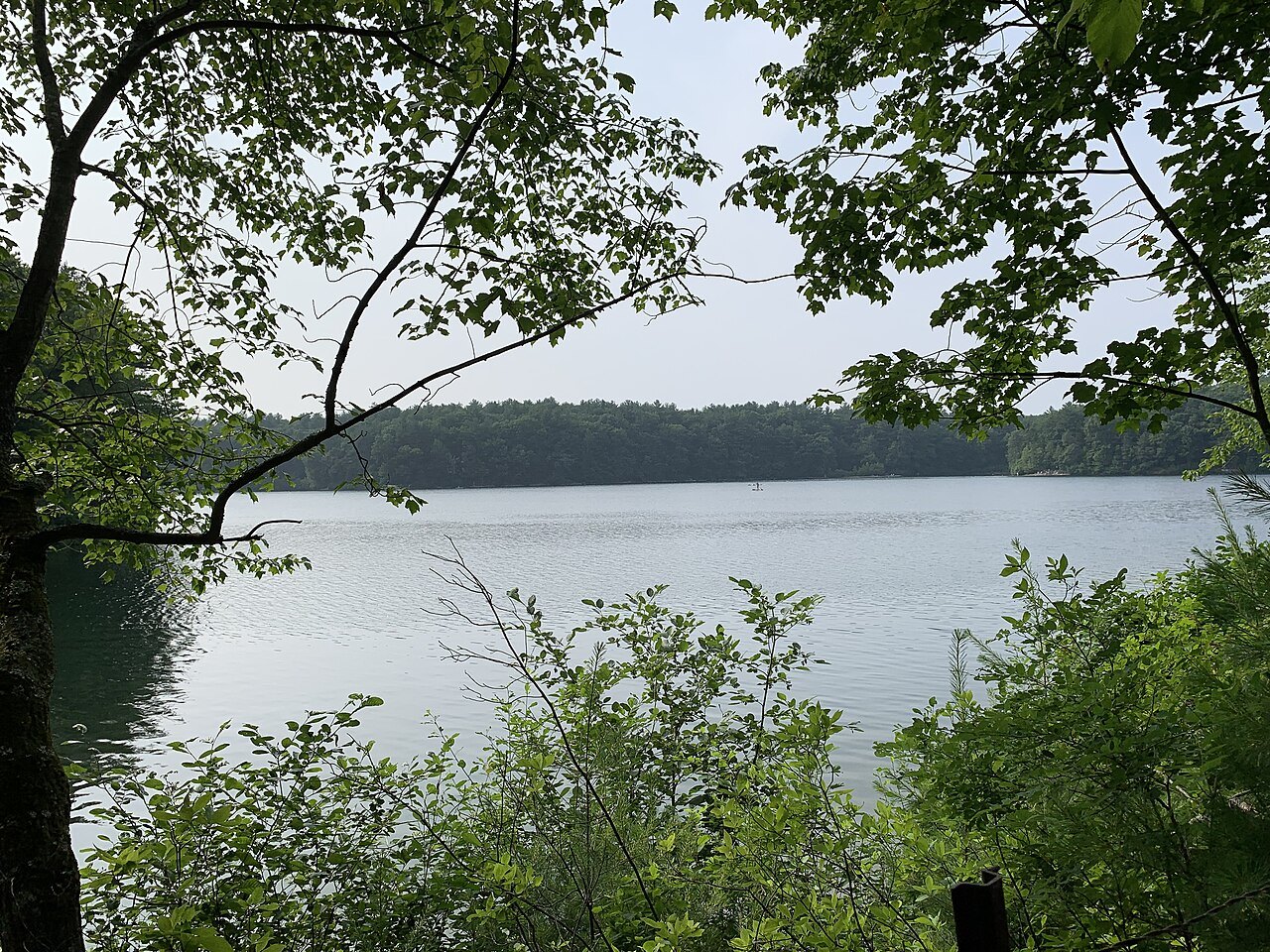
Walden Pond seen through the leaves of the shore woodsErik Granlund, Wikimedia Commons, CC BY-SA 4.0 Greater Boston · ConcordThe pond in the woods
In the same town lies Walden Pond, a kettle hole the glaciers left 10,000 to 12,000 years ago. Henry David Thoreau lived two years in a cabin on its shore and wrote Walden, published in 1854. The pond sits inside a state reservation of 335 acres.
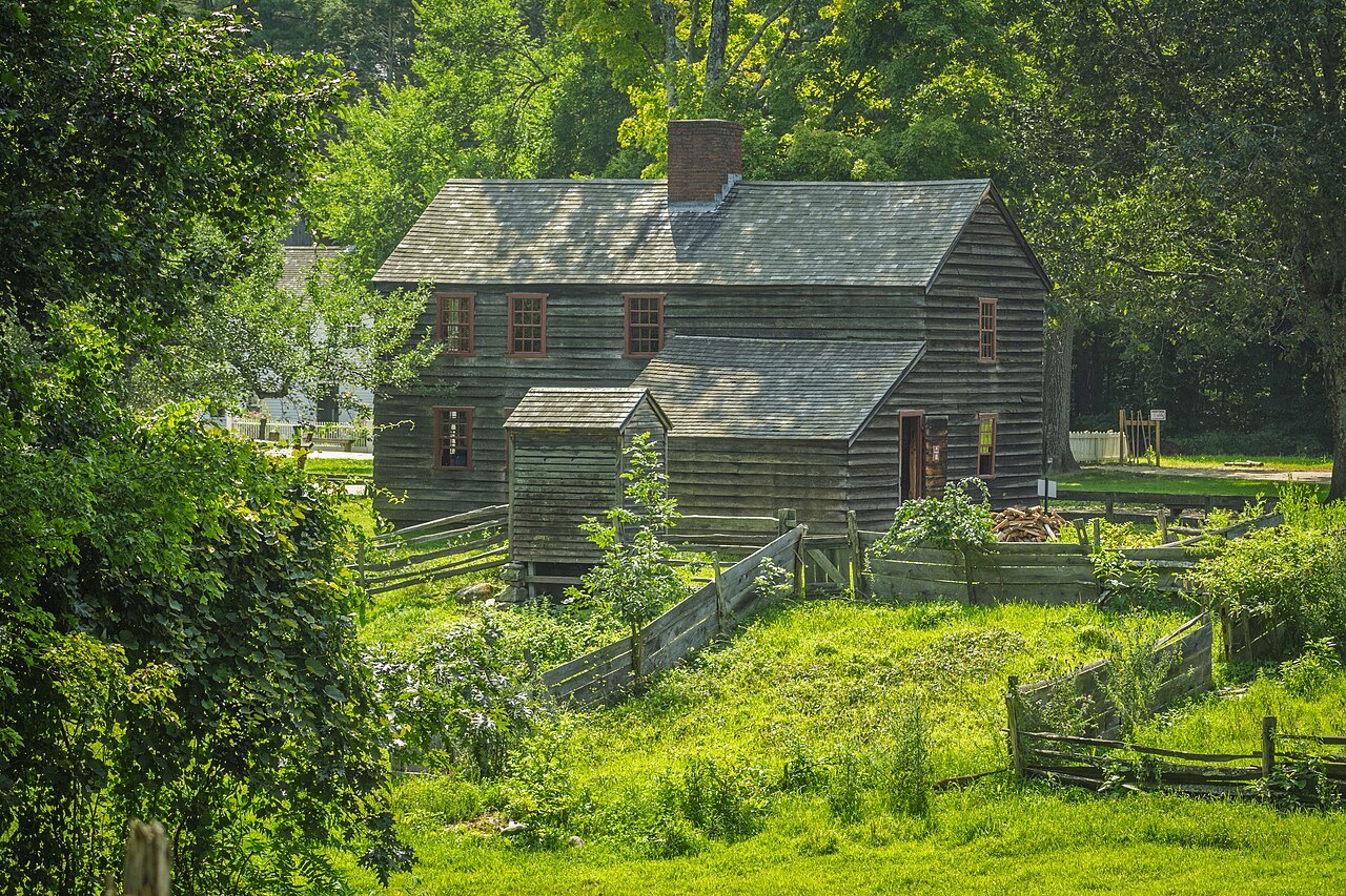
The weathered Fenno House among green trees at Old Sturbridge VillageEthan Long, Wikimedia Commons, CC BY-SA 2.0 Central · SturbridgeA village kept in the 1830s
Southwest along the Turnpike, Old Sturbridge Village recreates rural New England from the 1790s to the 1830s. It has 59 antique buildings, three water-powered mills and a working farm on more than 200 acres.
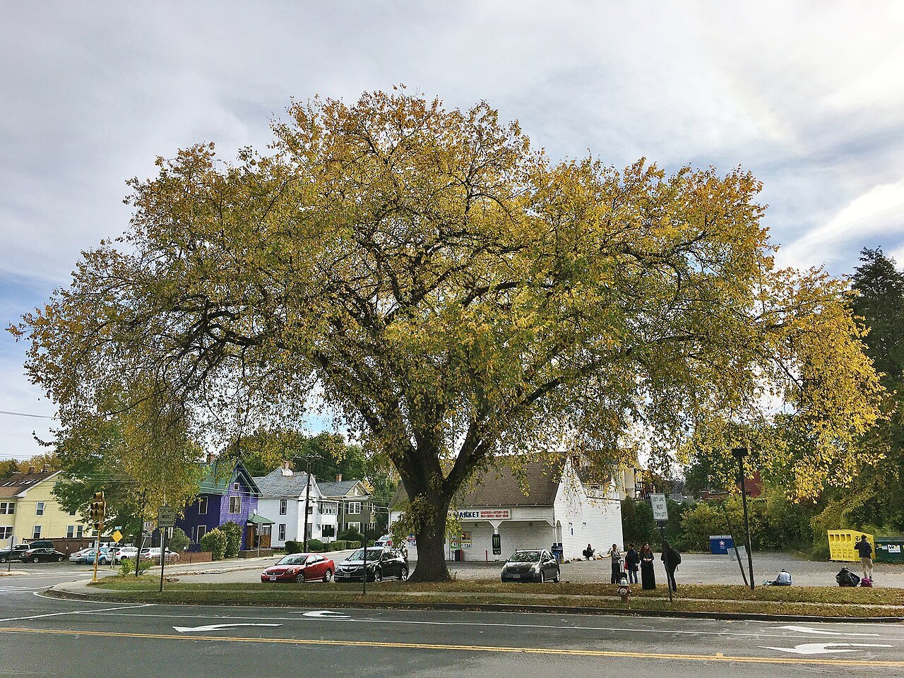
A great elm spreading over Old South Street in NorthamptonMarty Aligata, Wikimedia Commons, CC BY-SA 4.0 Pioneer ValleyThe river valley
West again, the road crosses the Connecticut River, the longest river in New England. In the valley stands Northampton, the county seat of Hampshire County, where Smith College was founded for women in 1871.
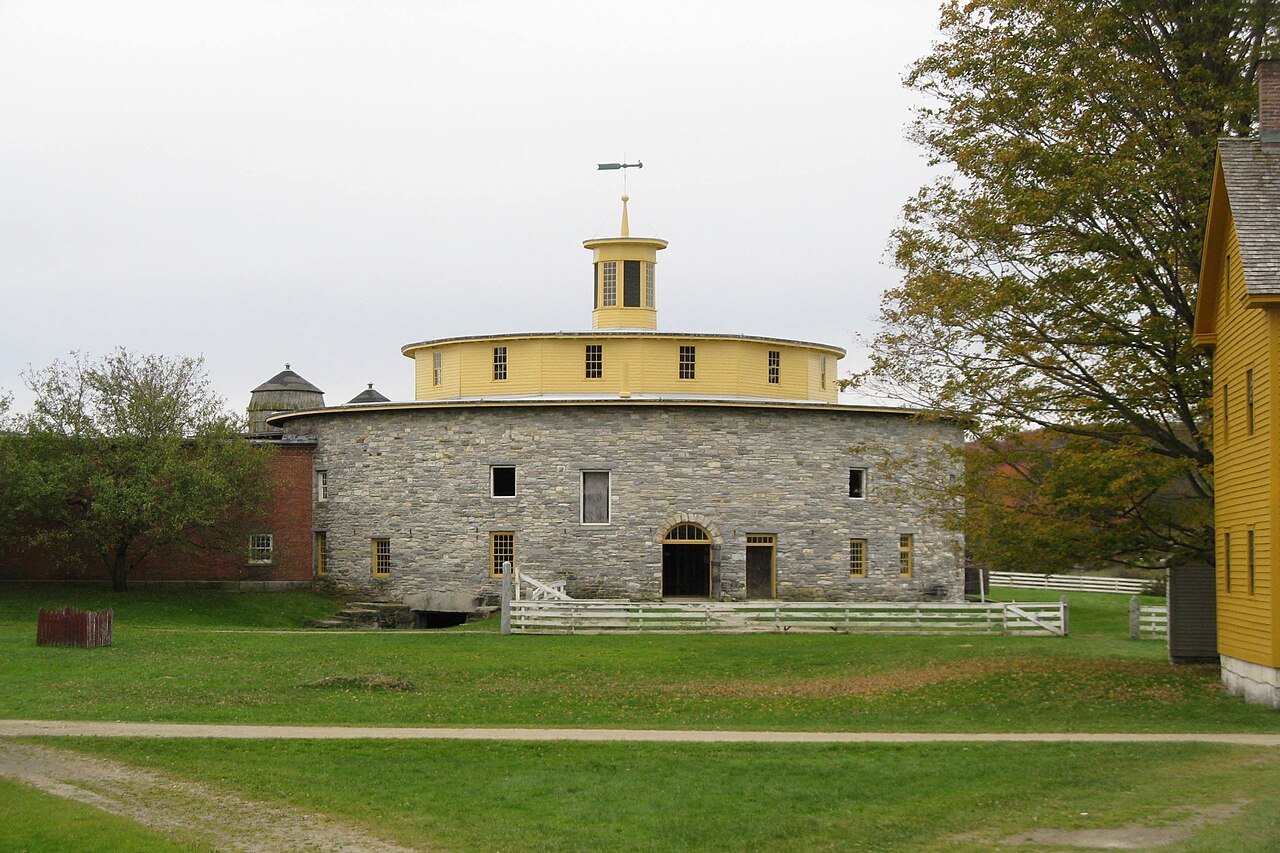
The Round Stone Barn and its cupola across the village lawnJohn Phelan, Wikimedia Commons, CC BY-SA 3.0 The Berkshires · PittsfieldThe Shaker hills
End in the Berkshires at Hancock Shaker Village, a Shaker community from 1790 until 1960, where the Round Stone Barn has stood since 1826. To the north rises Mount Greylock, the highest point in the state.
Before you goIII
Three things to know first
- ArrivingOne big airport, and the end of the line.Logan, in East Boston, is the largest airport in New England, with four passenger terminals. By train you arrive at South Station, the end of Amtrak's Acela and Northeast Regional lines.Getting here →
- The roadsA car for the state, your feet for Boston.The Massachusetts Turnpike, the longest interstate in the state, crosses it east to west for 138 miles. The Mohawk Trail began as a Native trade route over the Hoosac Range and is now a scenic road in the north.Driving →
- The calendarFour seasons, and a coast that watches the weather.Winters are cold and summers warm, and every region gets substantial snow. On the Cape, about once every 11 or 12 years a hurricane brings damaging winds.When to come →
United States · a CommonwealthMore than seven million peopleCapital: BostonPlymouth Colony 1620Highest point: Mount Greylock, 3,491 feet
Ten parts and a journalIV
The parts of this guide
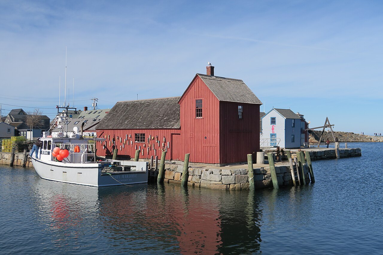 Eighteen places, one page eachThe LandmarksFrom the Freedom Trail to the Mount: what each one is, what you see there, and where it stands in the state.
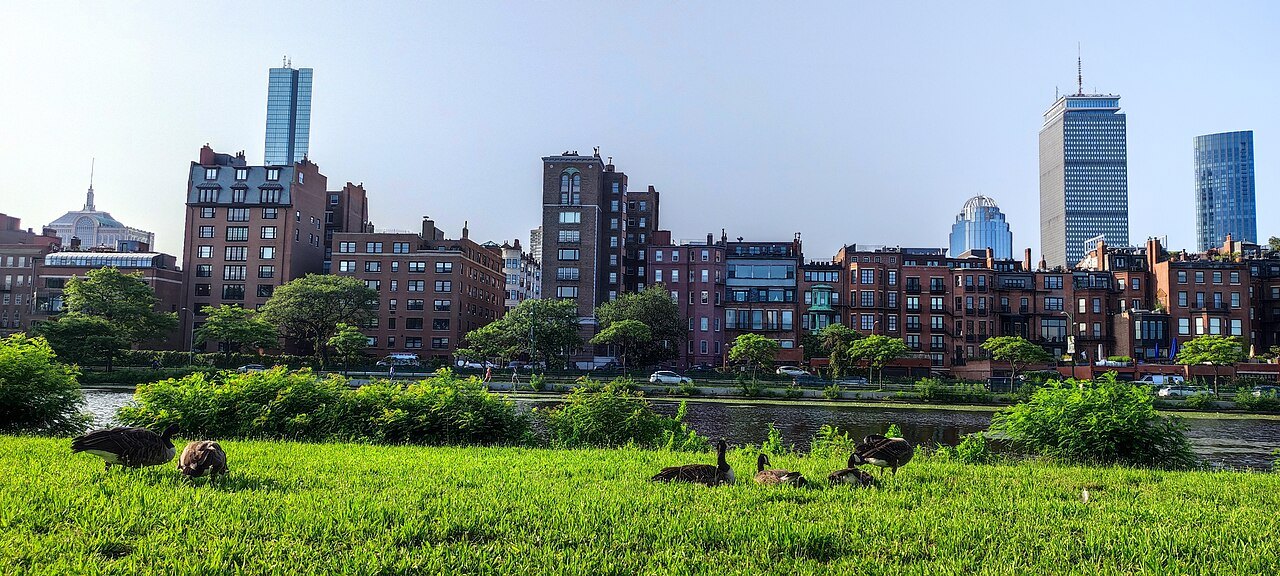 Six compact city guidesThe CitiesBoston, Cambridge, Salem, Plymouth, Provincetown and Northampton: how each is laid out, what to see and how long to give it.
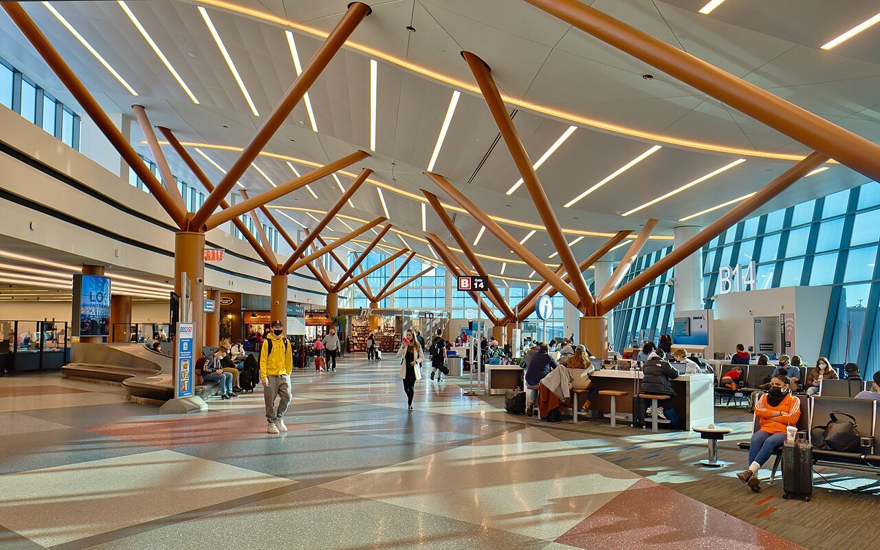 One big airport and the end of the lineGetting HereLogan in East Boston, the largest airport in New England, and South Station, where Amtrak's Acela and Northeast Regional trains end.
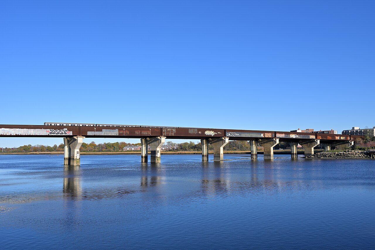 A car beyond Boston, your feet inside itDrivingThe Massachusetts Turnpike across the state, the old routes through the towns, and why Boston itself is best walked.
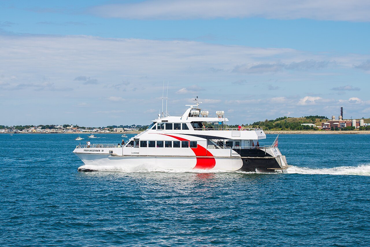 The boats to the Vineyard and NantucketFerries & IslandsWhich harbor serves which island, the year-round boats and the summer ones, and what to do with a car.
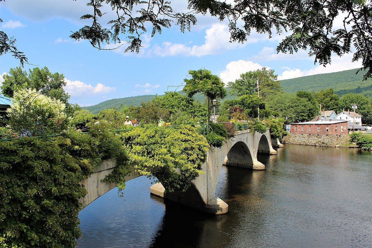 The day trips, by roadScenic DrivesThe Mohawk Trail over the Hoosac Range, the old road along the bay side of Cape Cod, the loop round Cape Ann and the back roads of the Berkshires.
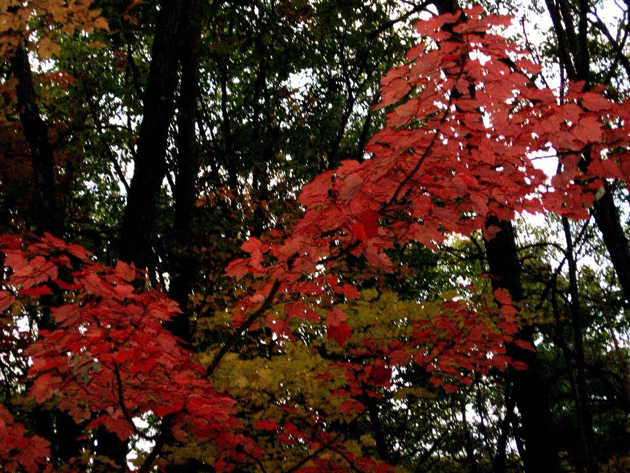 Four real seasonsWhen to ComeCold winters with real snow, warm summers on the beaches, the famous autumn in the hills, and the hurricane season on the coast.
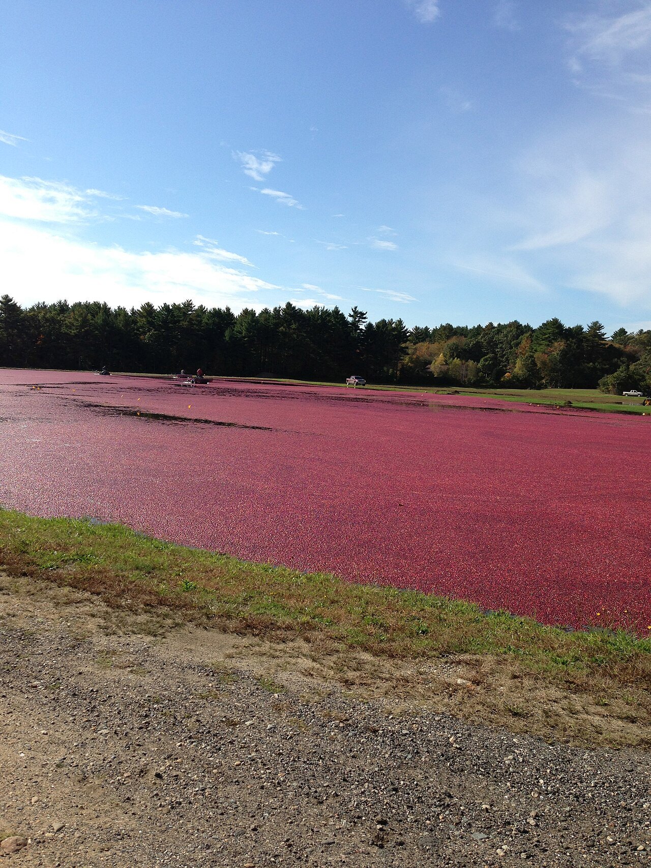 What the coast puts on the tableEating & DrinkingClams, oysters and lobster from the Cape, cranberries from the bogs, and where each is eaten.
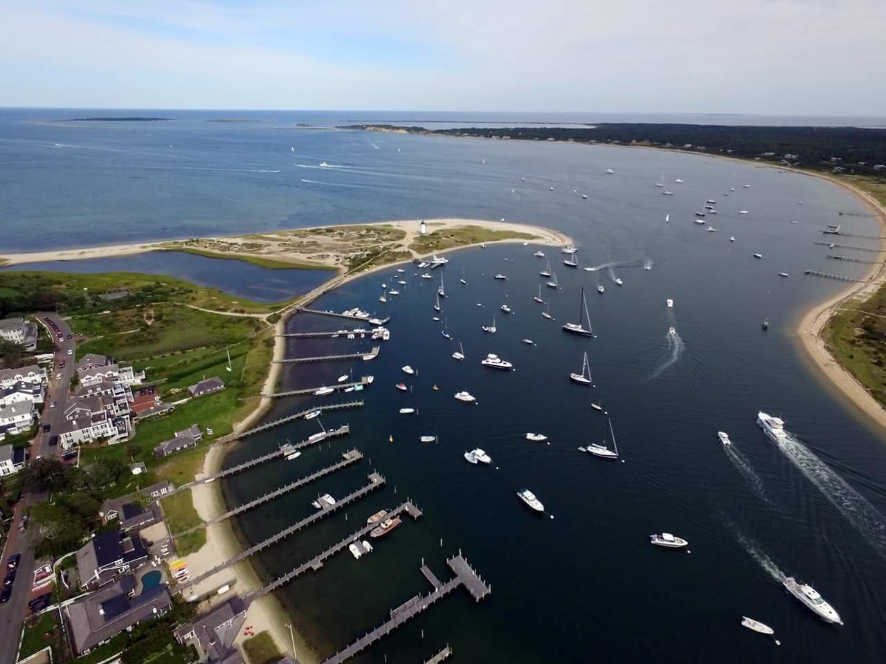 A base for each regionWhere to StayBoston and Cambridge, a North Shore harbor, a Cape town, an island, the valley and the Berkshires, each for a night or a week.
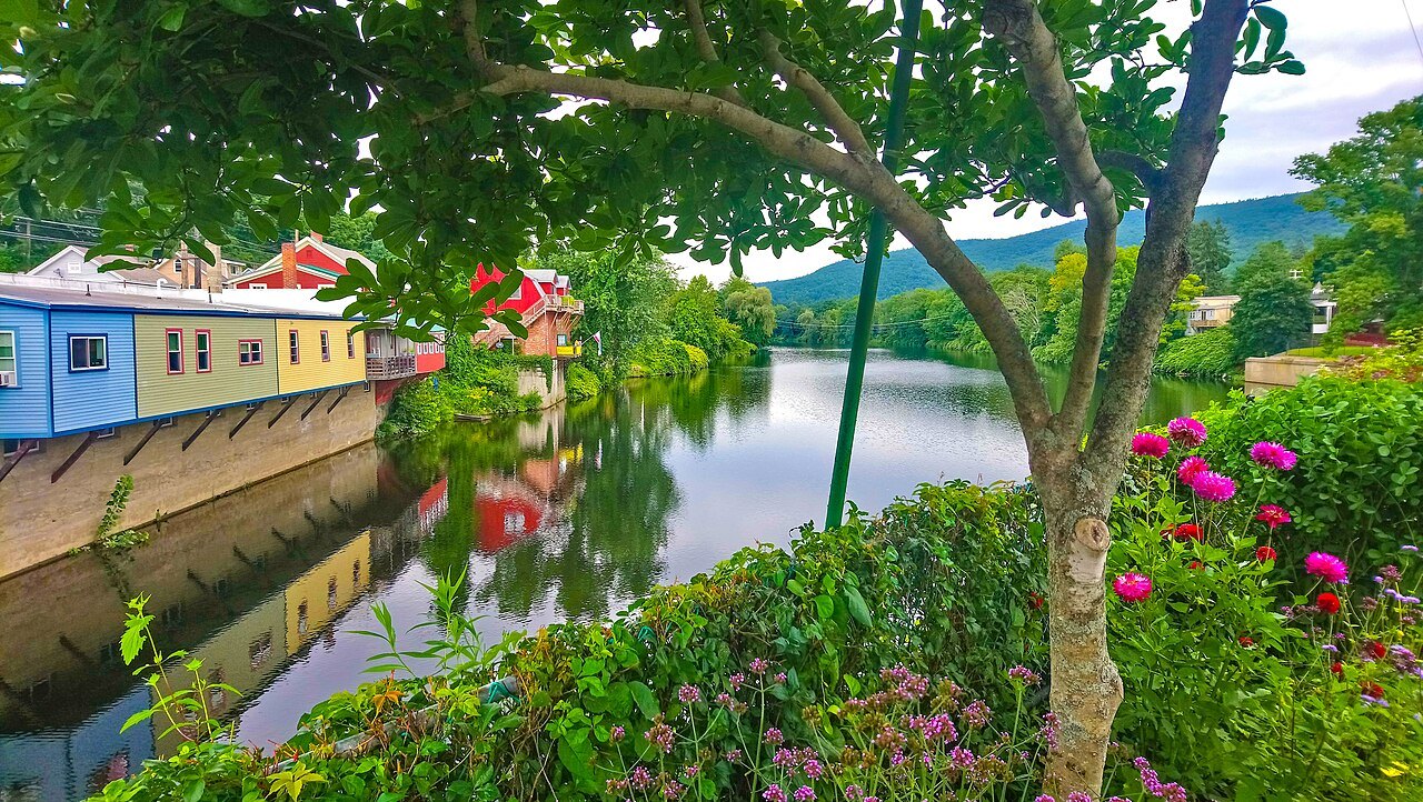 Three days, five, a weekItinerariesRoad trips by the length of your stay: Boston on foot, then out to the Cape, the islands or the hills.
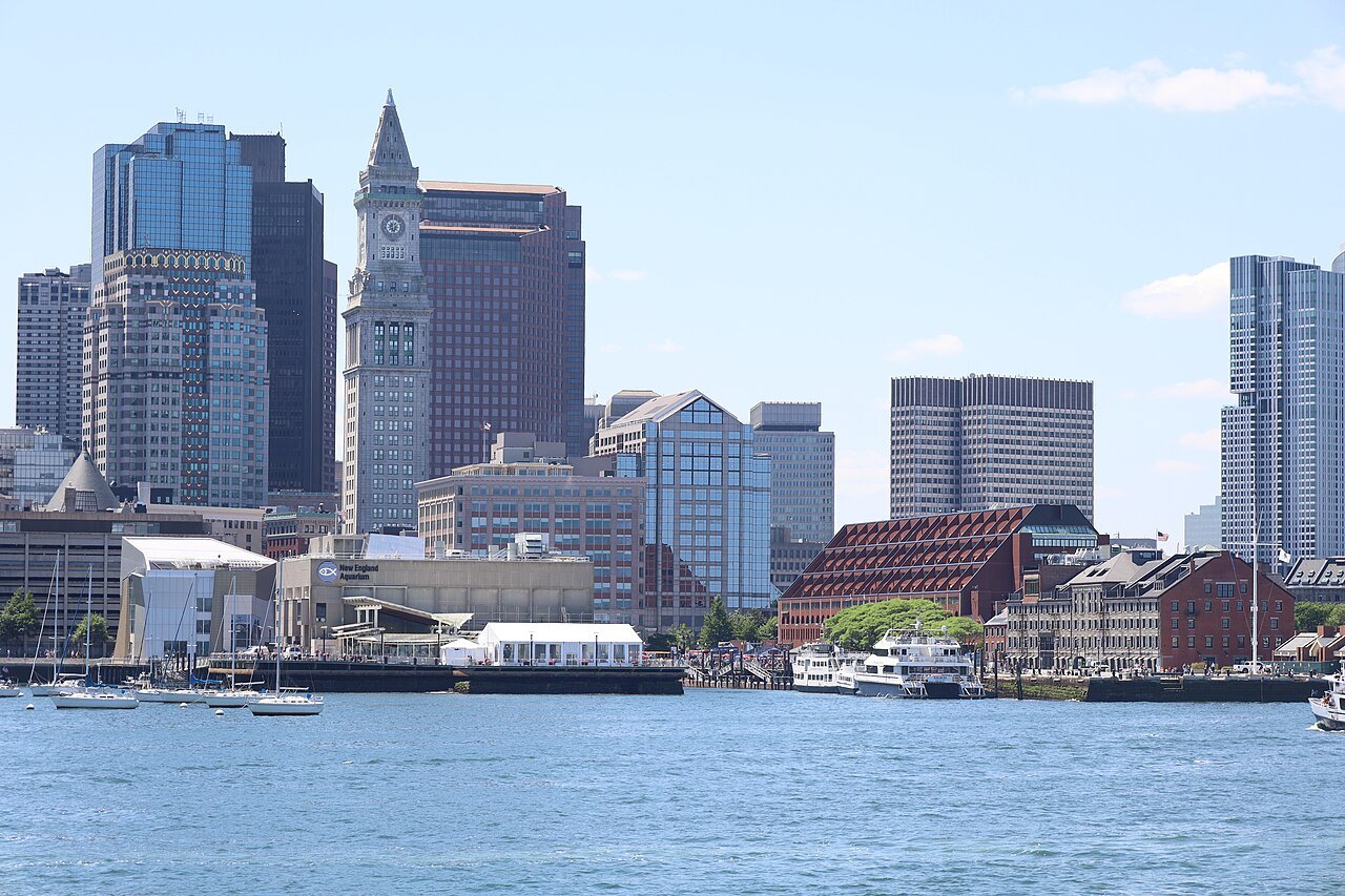 Questions answered at lengthThe JournalVisitor questions about Massachusetts, answered in full, with new pieces as they are written.
From Boston outwardV
All eighteen landmarks
6Six citiesCompact guides to the six places most visits are built around, from the capital to the tip of the Cape.
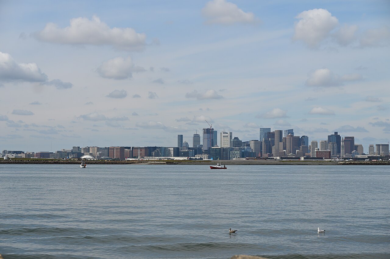 Greater BostonBostonThe capital, founded on the Shawmut Peninsula in 1630; 675,647 people at the 2020 census.
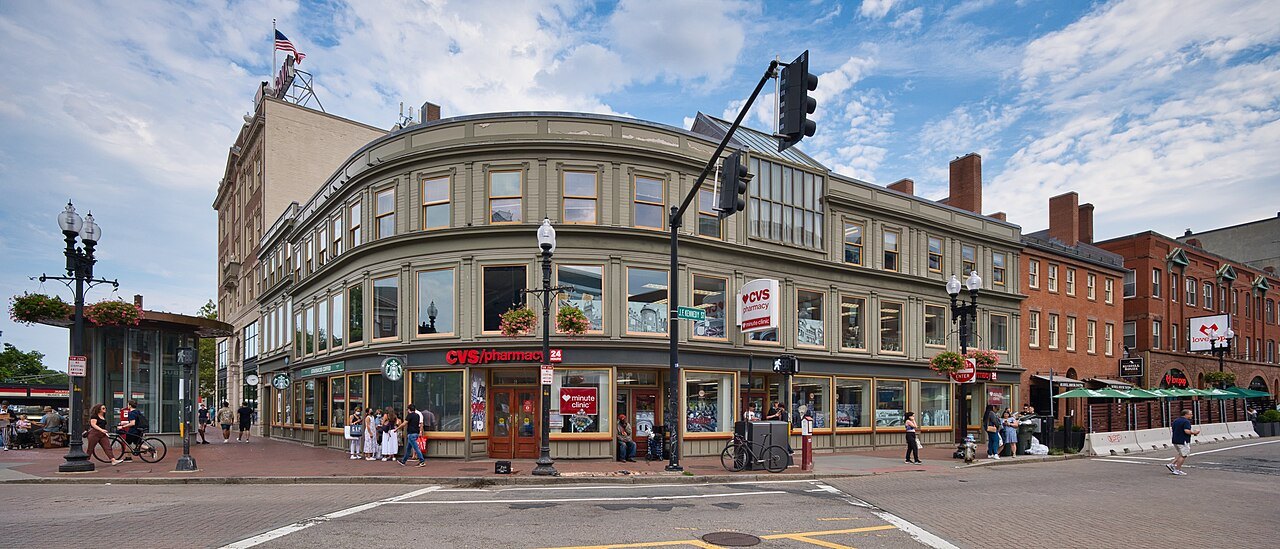 Greater BostonCambridgeDirectly across the Charles River from Boston, founded in December 1630, home to Harvard and MIT.
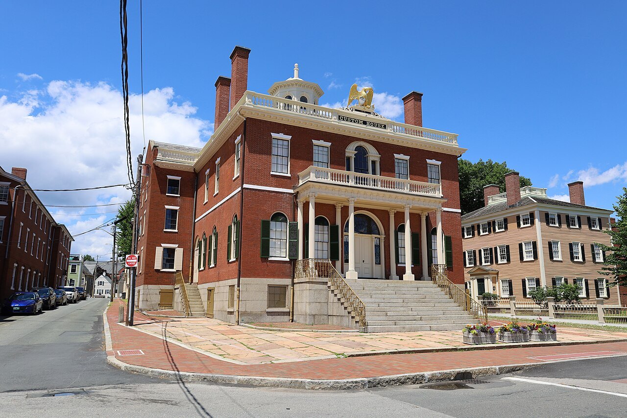 North ShoreSalemA seaport settled in 1626, known for the witch trials of 1692, with its Maritime site and the Peabody Essex Museum.
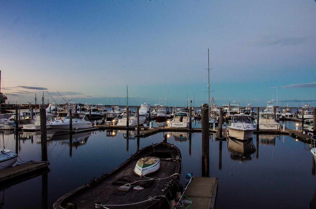 South ShorePlymouthAmerica's Hometown, where the Mayflower Pilgrims founded their colony in 1620, about 40 miles south of Boston.
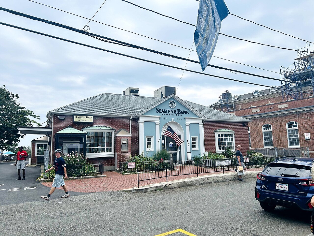 Cape CodProvincetownAt the tip of Cape Cod: 3,664 people all year, as many as 60,000 in summer.
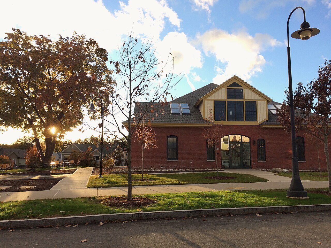 Pioneer ValleyNorthamptonThe county seat of Hampshire County, in the Pioneer Valley, where Smith College was founded in 1871.
IGreater BostonThe capital, Cambridge and the Revolution's first miles
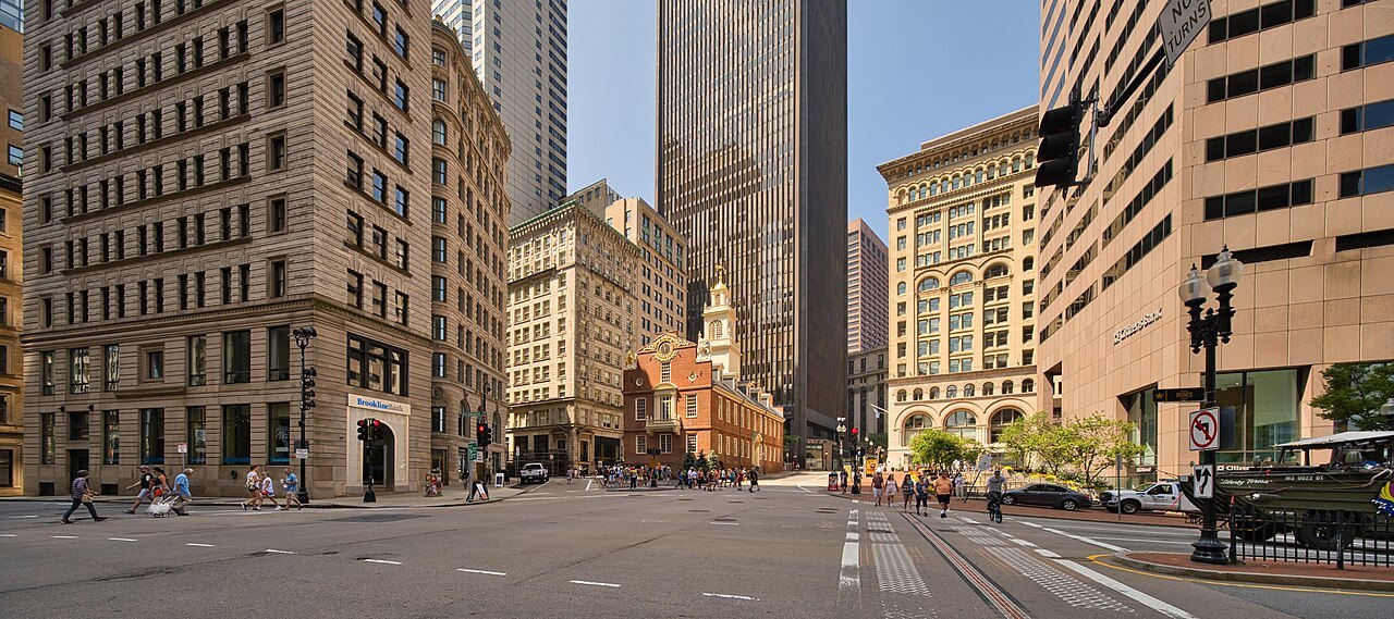 Greater Boston · Downtown to Charlestown1The Freedom TrailA path of two and a half miles past sixteen sites, from Boston Common to the Old North Church and the Bunker Hill Monument.
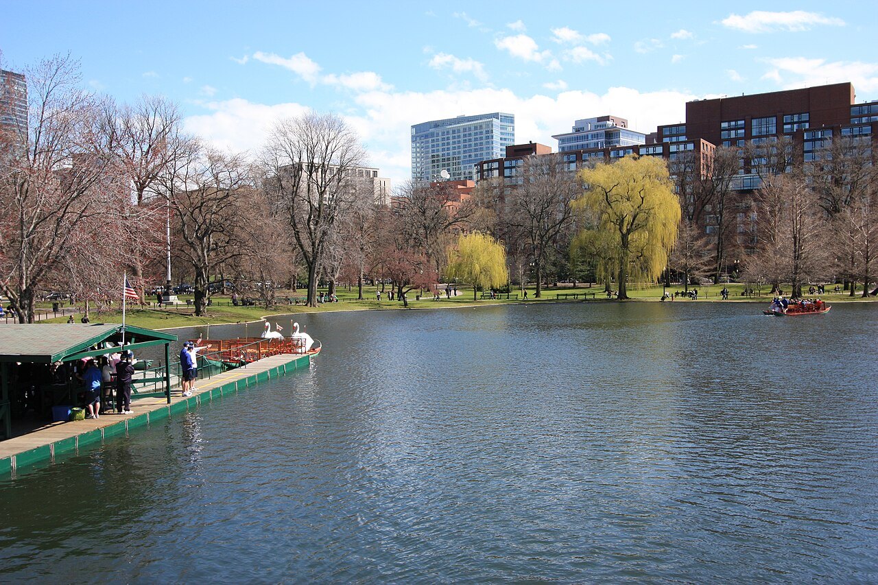 Greater Boston · Beacon Hill2Boston Common and the Public GardenThe oldest city park in the United States, fifty acres, with the Public Garden, the first public botanical garden in America, beside it.
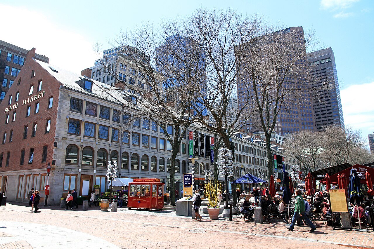 Greater Boston · Downtown3Faneuil Hall and Quincy MarketJohn Smibert's market and meeting hall of 1742, the Cradle of Liberty, beside Alexander Parris's three market buildings of 1826.
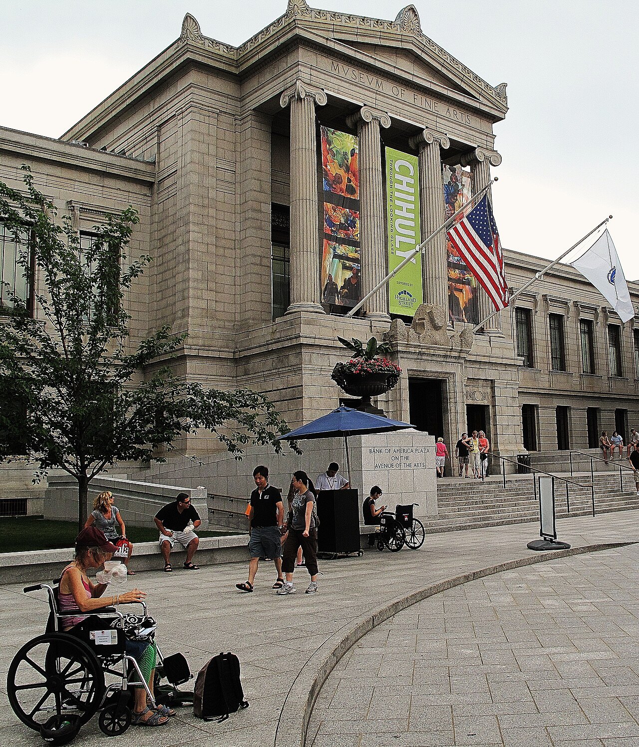 Greater Boston · the Fenway4The Museum of Fine Arts, BostonFounded in 1870 and on the Fenway since 1909, with more than 450,000 works of art.
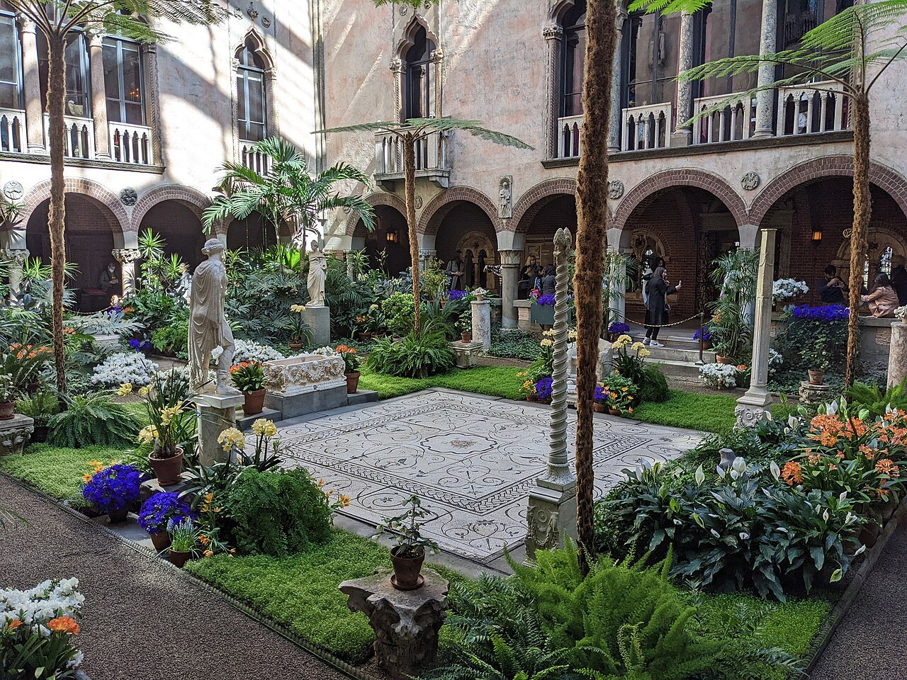 Greater Boston · the Fenway5The Isabella Stewart Gardner MuseumOne collector's house of art, opened in 1903, with a wing by Renzo Piano completed in 2012.
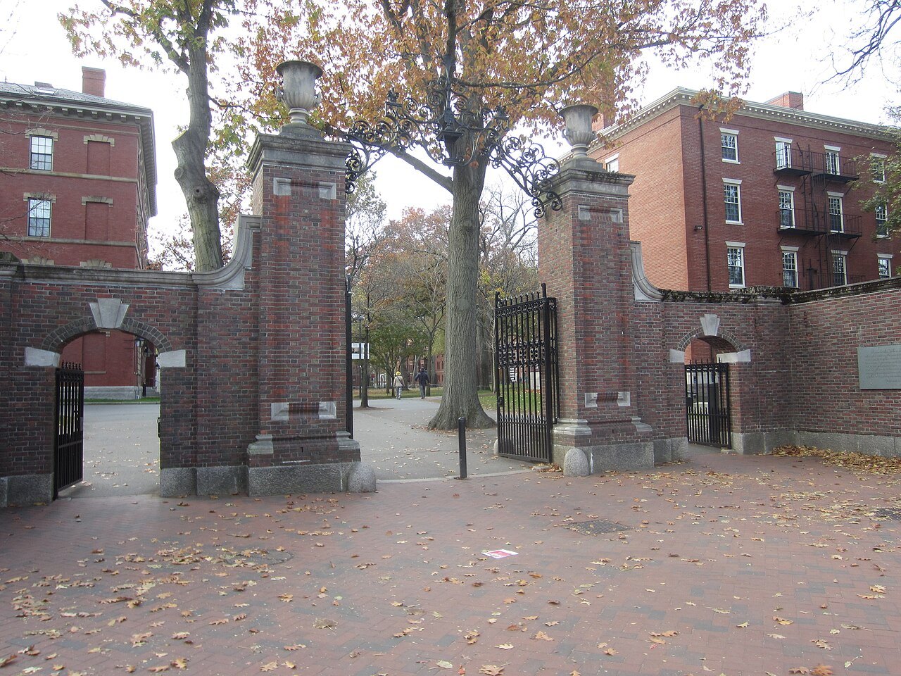 Greater Boston · Cambridge6Harvard YardThe oldest part of Harvard, grown around a parcel bought in 1637, behind a fence with twenty-seven gates.
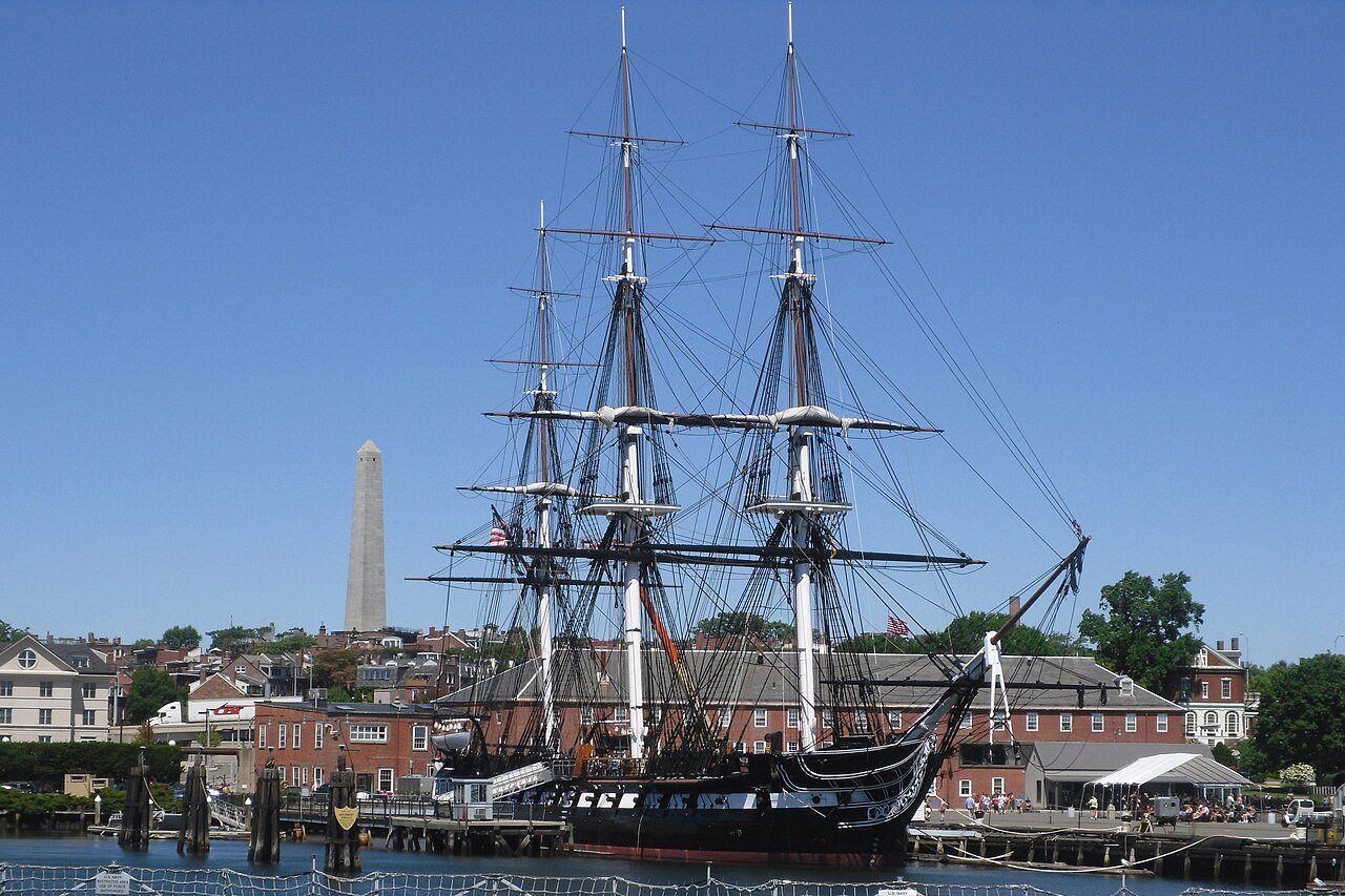 Greater Boston · Charlestown7USS Constitution and Bunker HillOld Ironsides, launched in 1797 and the oldest naval vessel still afloat, below the 221-foot granite obelisk of Bunker Hill.
 Greater Boston · Concord8Lexington, Concord and the Old North BridgeLexington, Lincoln and Concord, where the Revolutionary War began on April 19, 1775, and the North Bridge rebuilt in 1956.
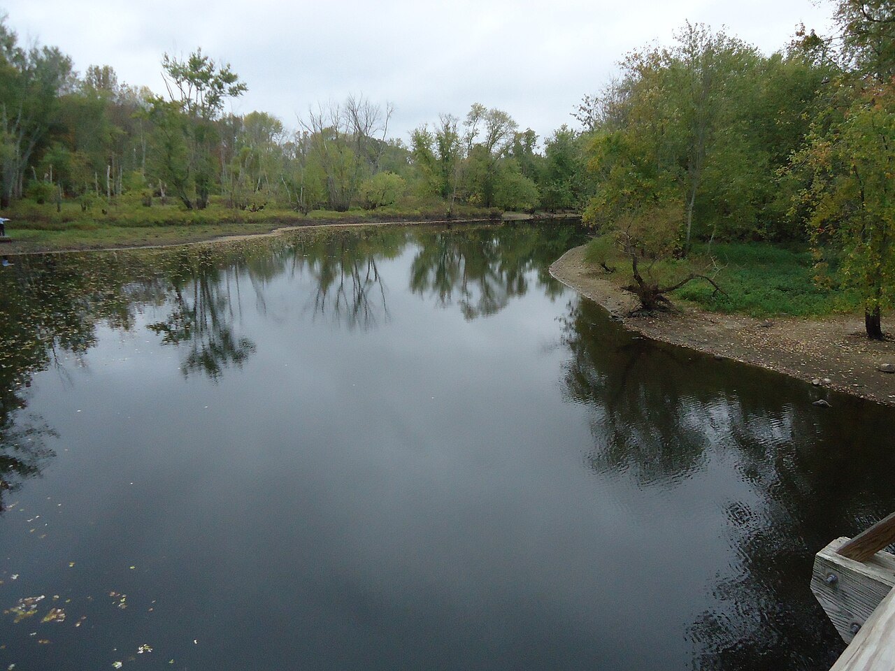
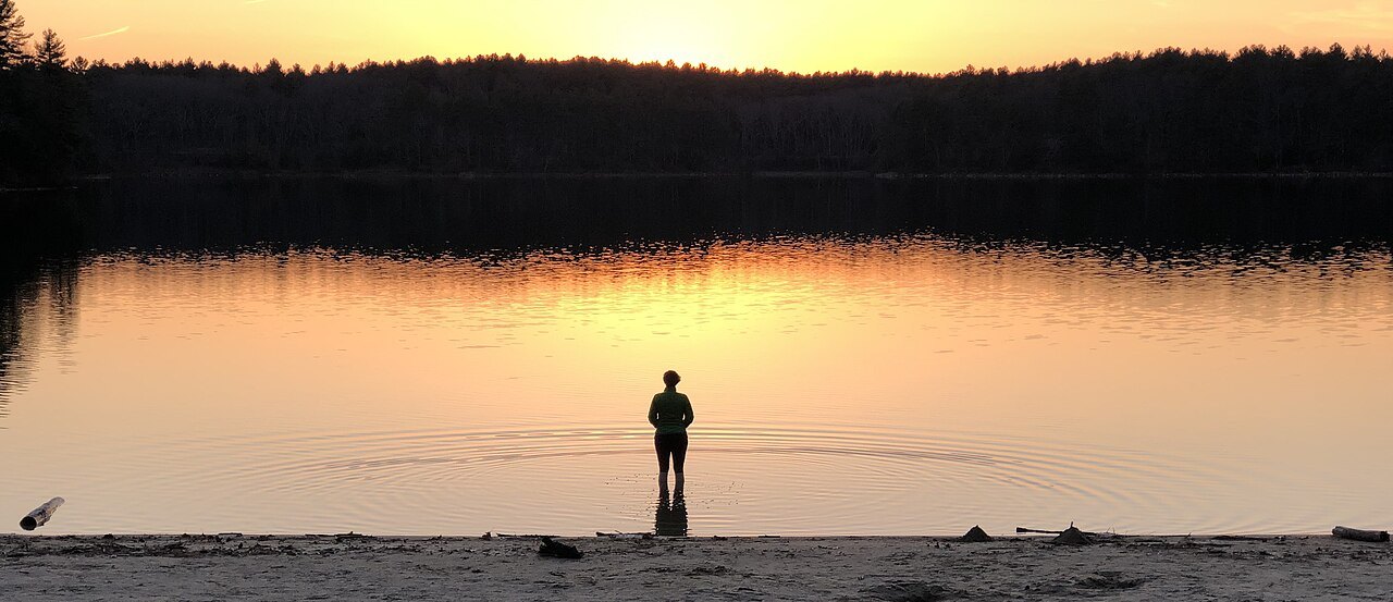 Greater Boston · Concord9Walden PondA kettle hole left by the glaciers, where Henry David Thoreau lived two years in a cabin on the shore.
IIThe North ShoreGranite, fishing harbors and painters
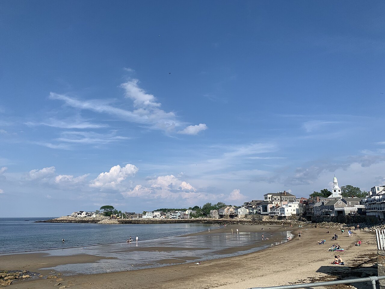
IIIThe South Shore and South CoastThe Pilgrims' harbor and the whaling city
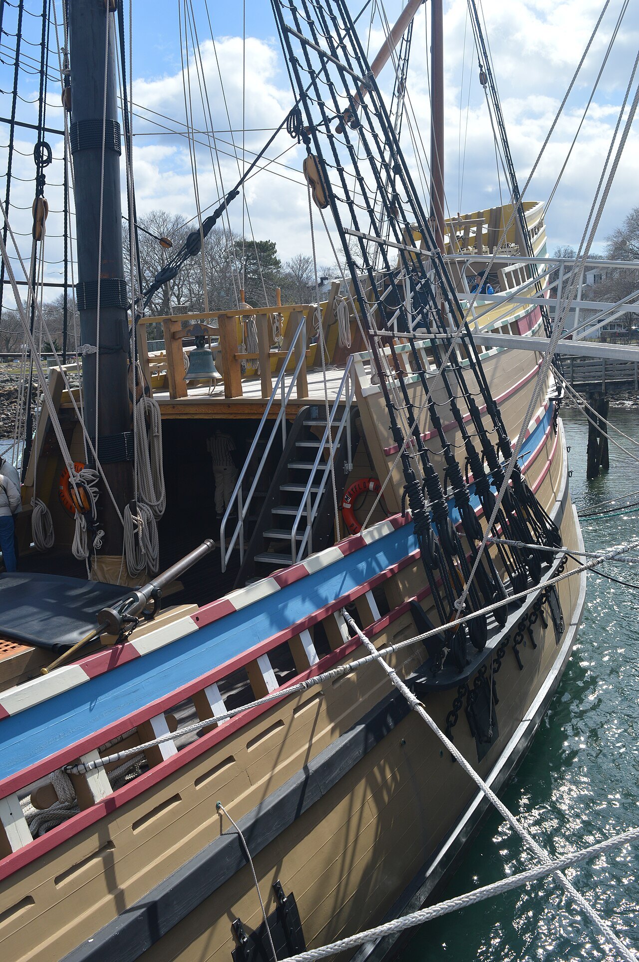 South Shore · Plymouth11Plimoth Patuxet and the Mayflower IIA living history museum founded in 1947, with an English Village of 1627, a Wampanoag Homesite and the Mayflower II.
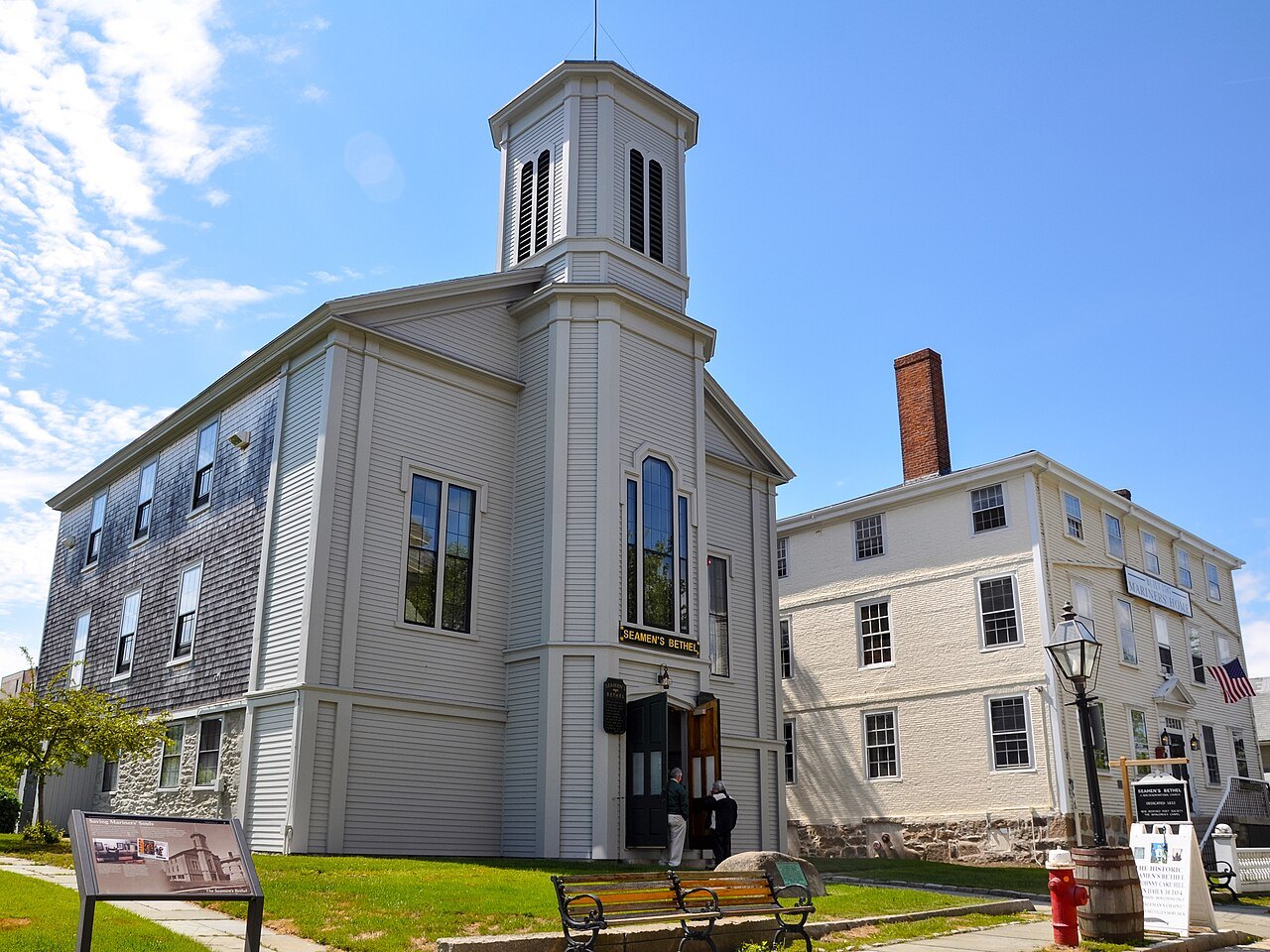 South Coast · New Bedford12New Bedford, the Whaling CityThe world's preeminent whaling port of the nineteenth century, remembered across thirteen city blocks.
IVCape Cod and the IslandsDunes, lighthouses and the ferries
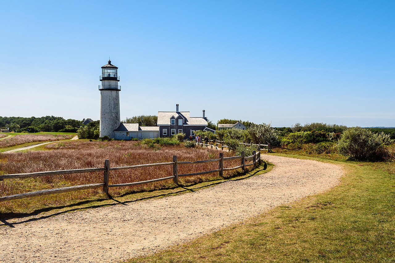 Cape Cod · the Outer Cape13Cape Cod National SeashoreNearly forty miles of Atlantic shore from Chatham to Provincetown, set aside on August 7, 1961.
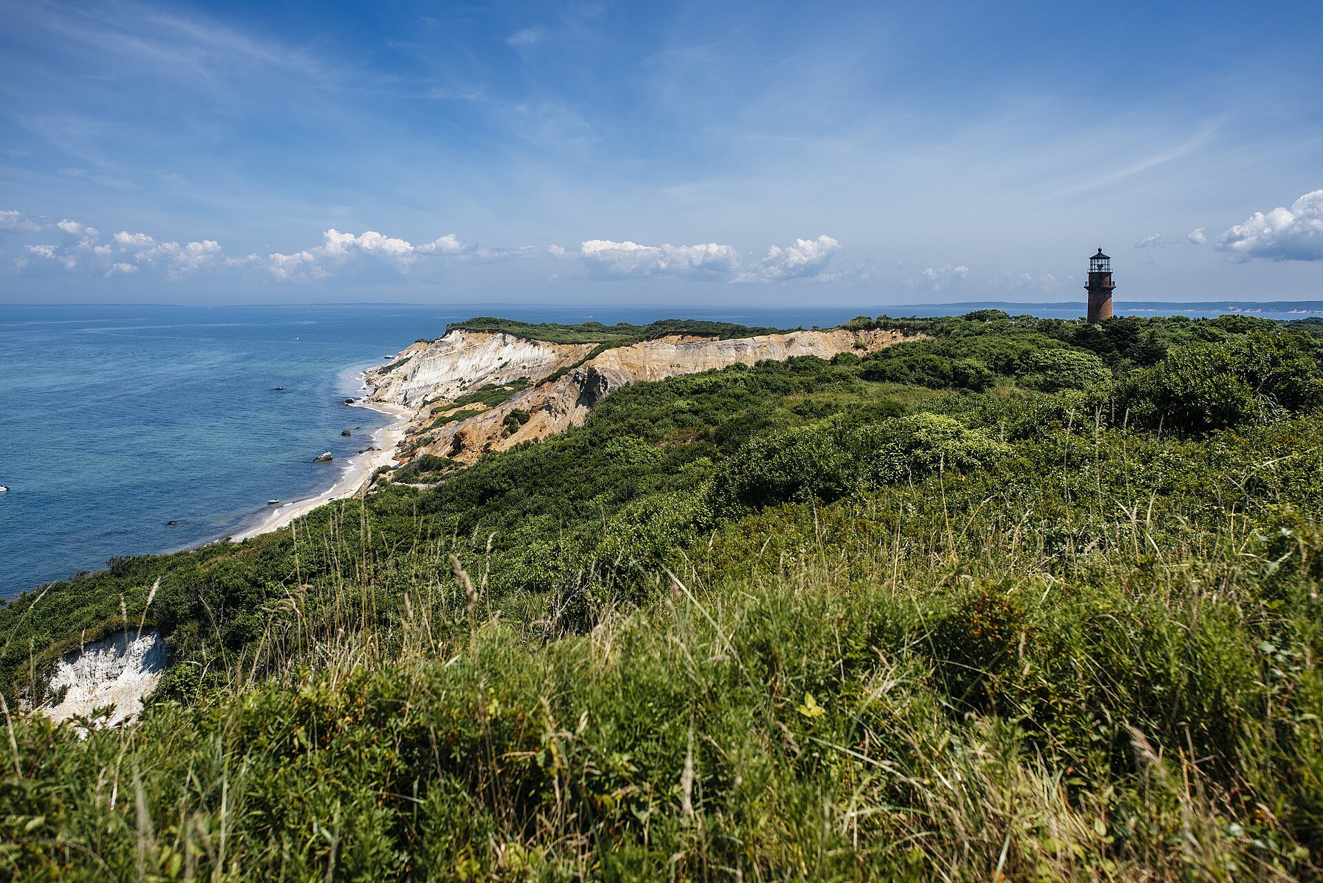
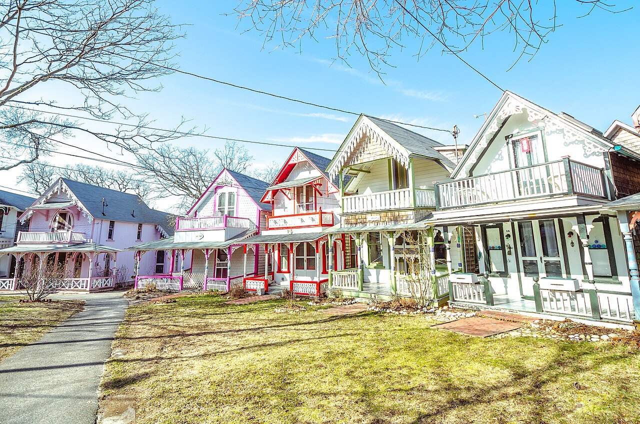 The Islands · Dukes County14Martha's VineyardNoepe in Wampanoag: an island of about 96 square miles south of Cape Cod, with the clay cliffs of Aquinnah.
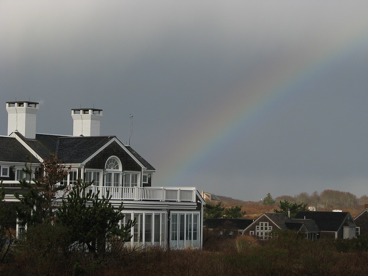 The Islands · Nantucket15NantucketAn island about thirty miles south of Cape Cod and the southeasternmost town in Massachusetts.
VCentral MassachusettsRolling, rocky hills
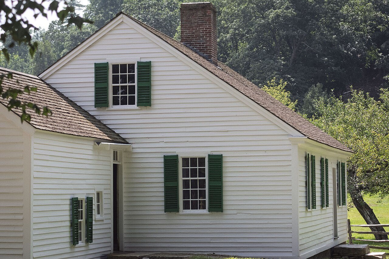
VIThe BerkshiresThe hill country of the far west
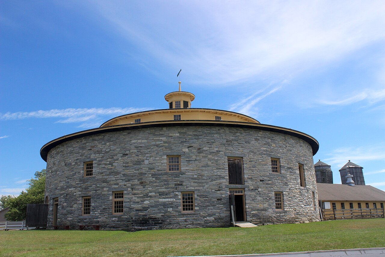 The Berkshires · Pittsfield17Hancock Shaker VillageA Shaker village from 1790 to 1960, the third of nineteen, with its Round Stone Barn of 1826.
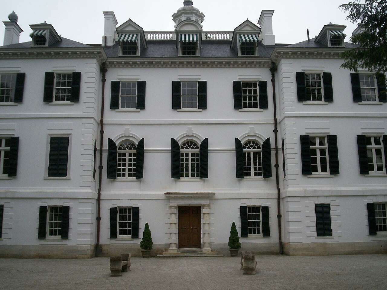 The Berkshires · Lenox18The Mount, Edith Wharton's HouseEdith Wharton's country house of 1902, which she designed with its grounds and called her first real home.