Home · Landmarks · Cape Cod National Seashore
What you are looking atI
Cape Cod National Seashore
Cape Cod · the Outer Cape
- Coast Guard BeachThe Eastham beach below the old station, one of the best-known on the shore.
- Nauset LightA cast-iron tower of 1877 moved from Chatham in 1923, its top painted red in the 1940s.
- The Marconi siteWhere the first two-way transatlantic radio messages were sent, at South Wellfleet.
- Highland LightCape Cod's oldest and tallest lighthouse, of 1857, moved back from the cliff in 1996.
- The Province LandsThe dunes at the tip of the cape, with bike trails and Race Point Beach.
- Race Point LightAn iron tower of 1876 at the tip, reached on foot across the sand.
The place in fullII
Reading the place
Why it matters
Cape Cod National Seashore protects some 43,600 acres of the outer Cape, including nearly forty miles of shore along the Atlantic-facing east side, in the towns of Provincetown, Truro, Wellfleet, Eastham, Orleans and Chatham. It was created on August 7, 1961, when President John F. Kennedy signed the bill he had first co-sponsored as a senator, and it is run by the National Park Service.
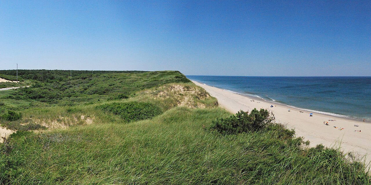
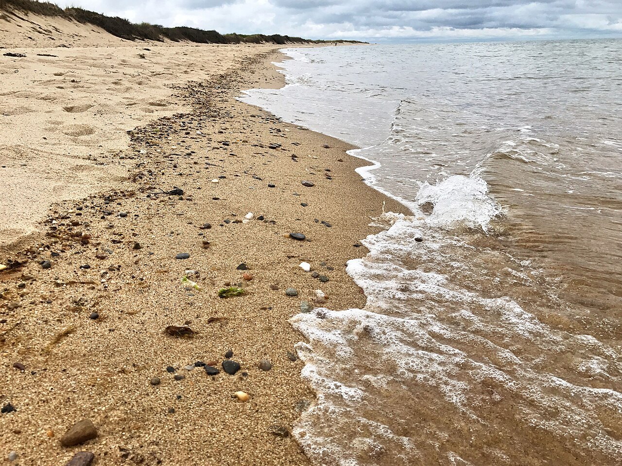
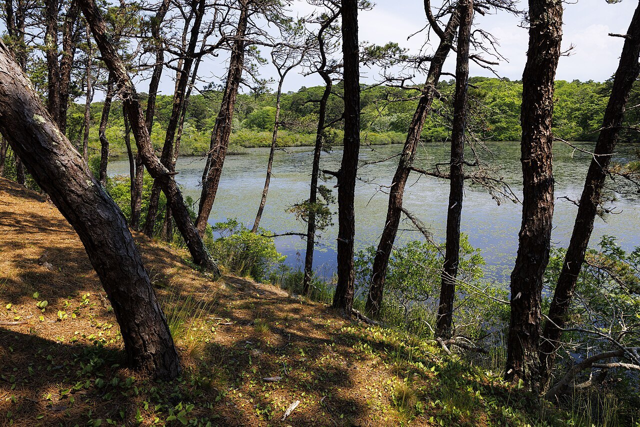
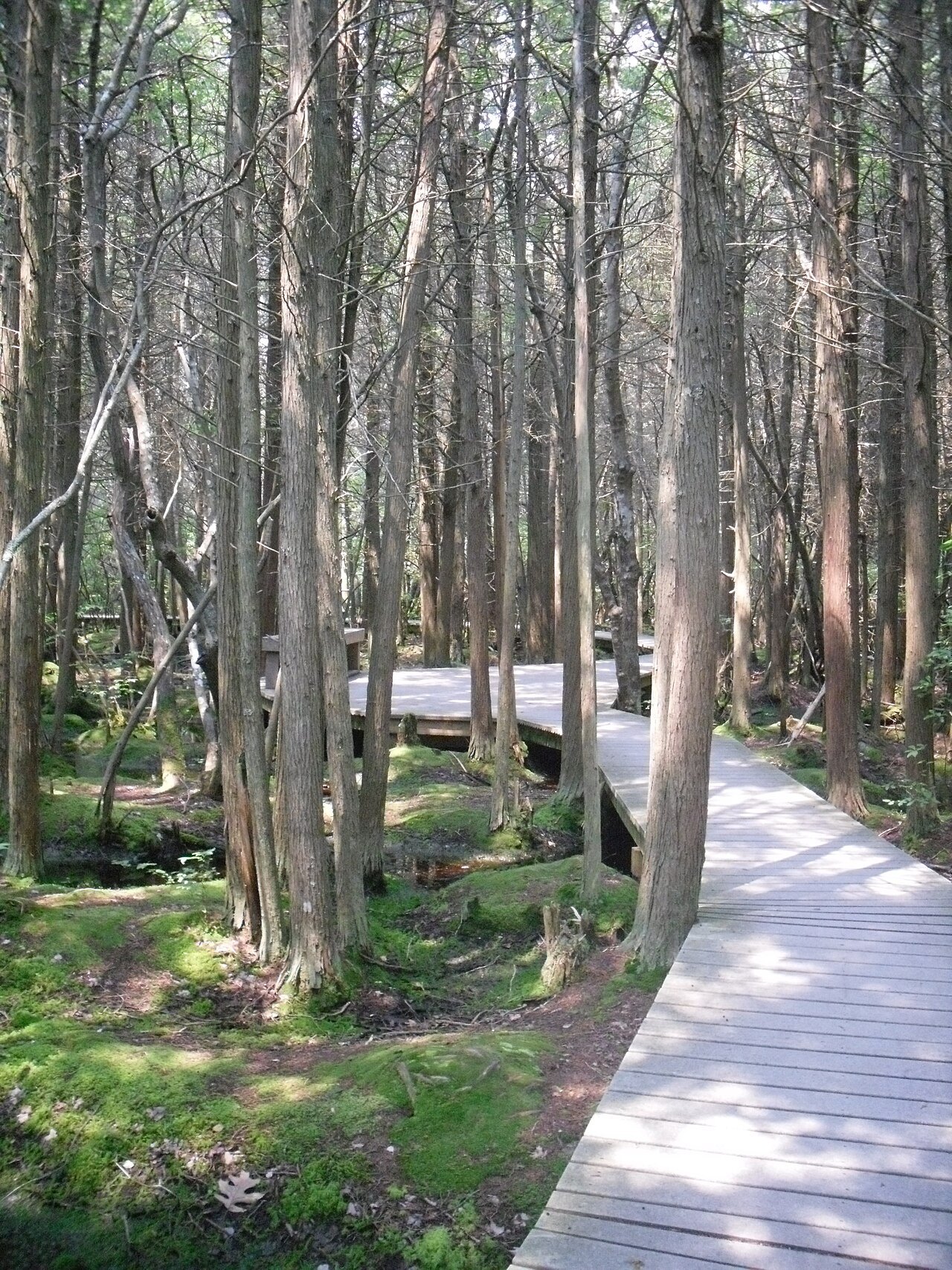
It is the Cape without the towns: ponds, woods and beaches of the Atlantic coastal pine barrens, high sand cliffs above the surf, and the lighthouses built to keep ships off a coast that took many ships. For many visitors it is the main reason to drive the length of the Cape.
A cape made of sand
The Cape was named Cape Cod in 1602 by Bartholomew Gosnold, the ninth-oldest English place-name in the United States. Most of its land is glacial: terminal moraine and outwash plains left by the retreating ice, the southernmost reach of the glaciers in this part of New England. The same retreat left many kettle ponds, clear and cold, scattered through the woods of the Seashore. Similar glacial formations make up Long Island and Block Island to the southwest, the rest of the same moraine.
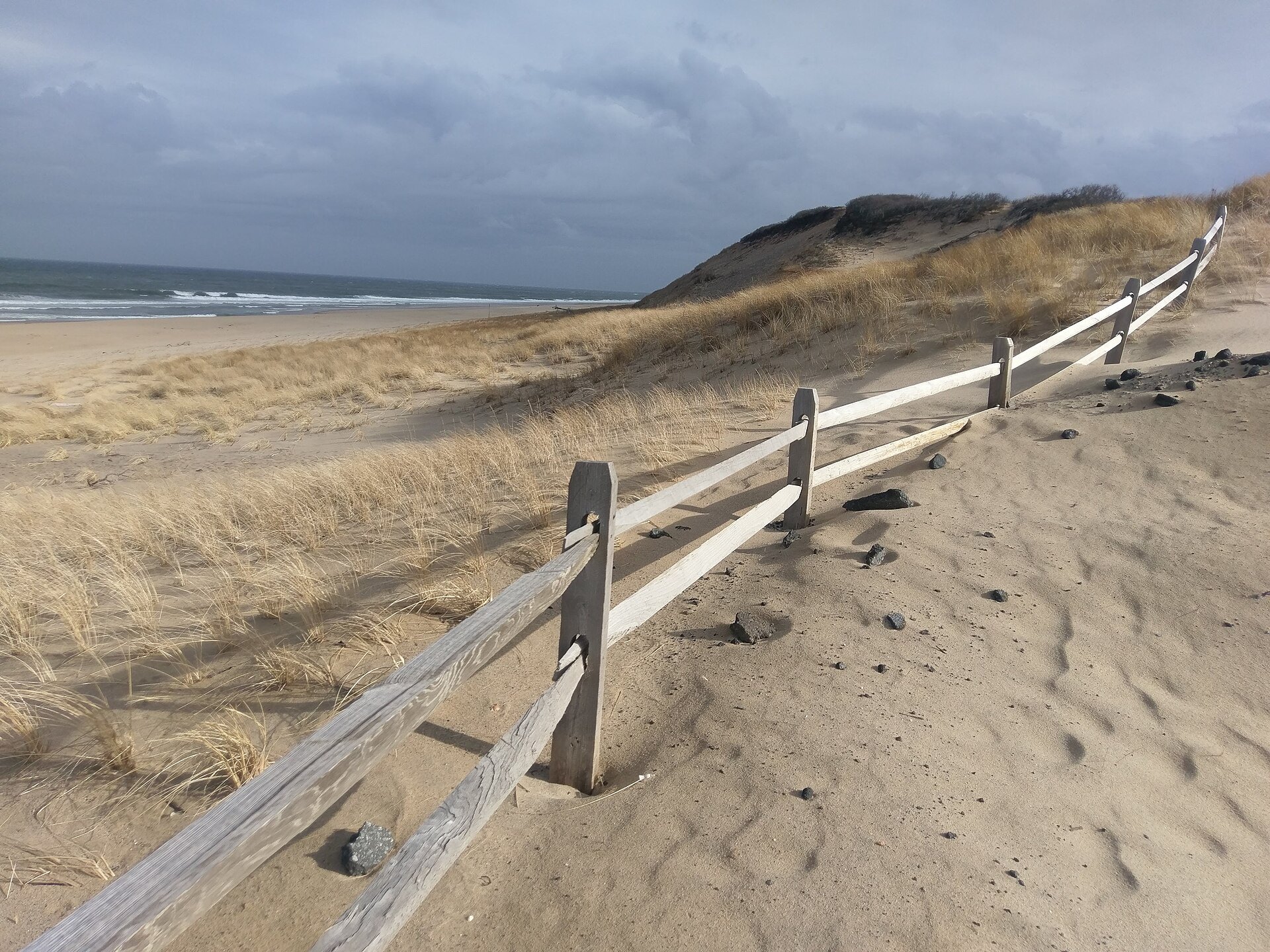
Facing the open ocean, the Cape is subject to heavy erosion. The sea washes out beaches and breaks through the barrier islands, as it did at Chatham during Hurricane Bob in 1991, and over thousands of years it will take the Cape back. The Seashore's cliffs, dunes and lighthouses are all shaped by that slow retreat, and several of its lights have had to be moved.
The lighthouses
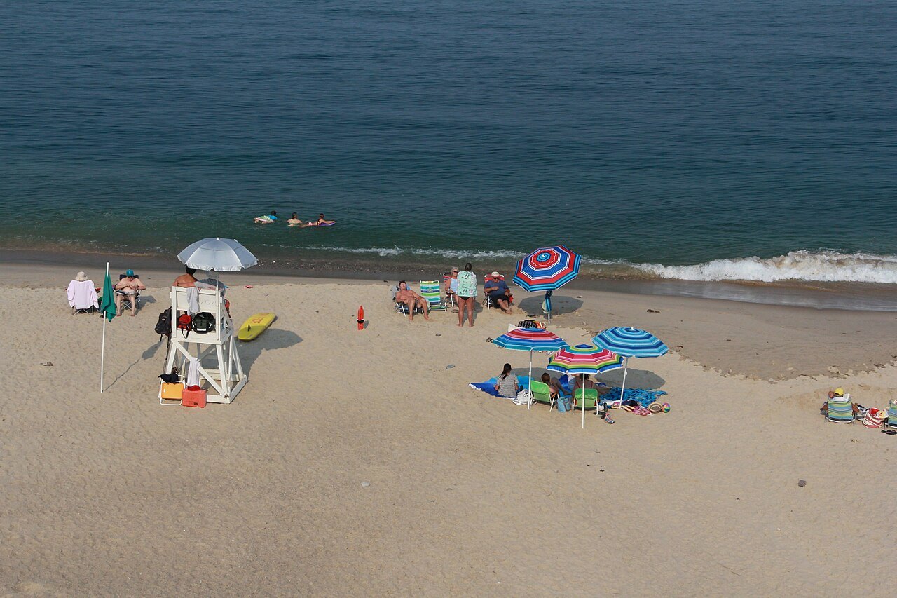
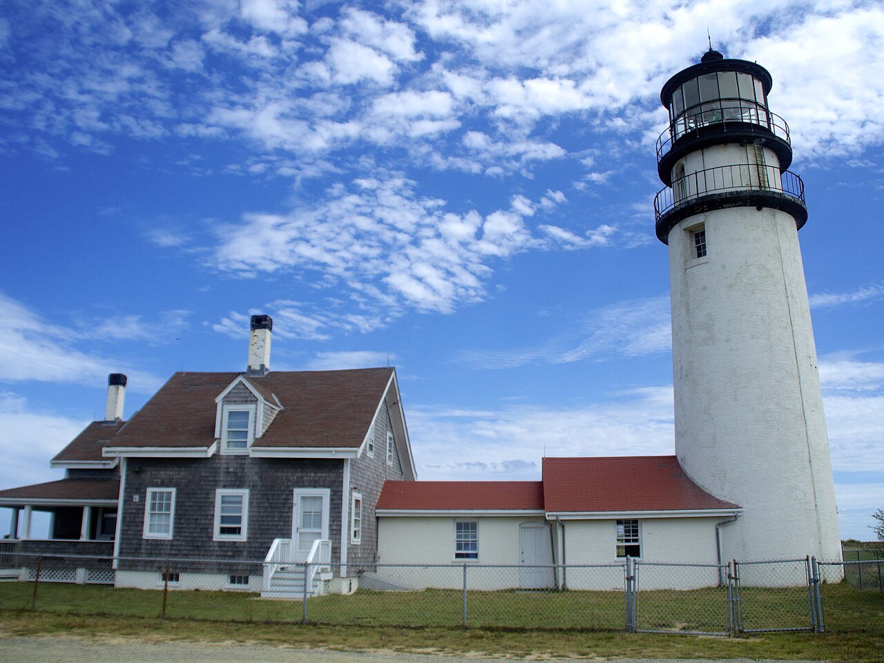
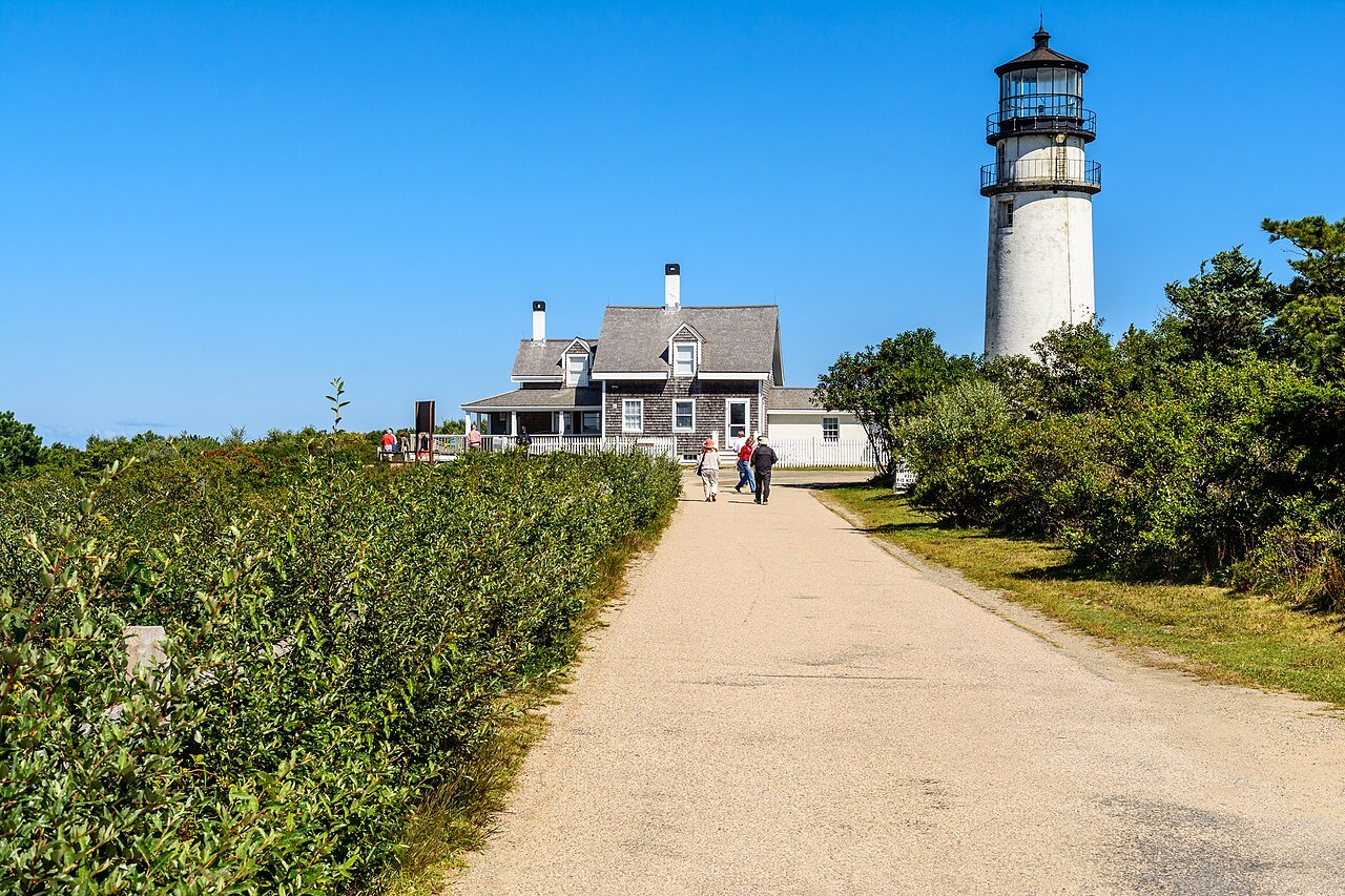
Highland Light in North Truro, formerly Cape Cod Light, is the oldest and tallest lighthouse on the Cape. A station authorized by George Washington was set up here in 1797 with a wooden tower, the first light on Cape Cod, to warn ships off the coast between Cape Ann and Nantucket; the present sixty-six-foot brick tower dates from 1857. In July 1996, threatened by the eroding cliff, it was moved 450 feet inland over eighteen days. Visitors can walk the grounds all year and climb the tower on guided tours from May until late October. Edward Hopper painted the light, and although it has since been moved, the landscape still looks much as he painted it.
Nauset Light near Eastham is a cast-iron tower lined with brick, forty-eight feet high, built in 1877 as one of two lights at Chatham and moved to Eastham in 1923 to replace the Three Sisters of Nauset, three small wooden lighthouses that now stand in a field nearby. It was all white until the 1940s, when its top was painted red. The light was automated and the keeper's house sold in 1955, and its original lens, removed in 1981, is shown at the Salt Pond Visitor Center.
Race Point and the tip
At the tip of the Cape, in Provincetown, stands Race Point Light, first lit in 1816 as the third light on Cape Cod, after Highland Light and Chatham Light. The first tower, twenty-five feet of rubblestone, had one of the earliest rotating beacons, which set it apart from the other lights on the Cape. Its present iron tower, forty-five feet tall, dates from 1876; it was electrified in 1957 and automated in 1972. The American Lighthouse Foundation operates the property and rents two buildings for overnight stays, and the light is reached on foot across the sand.
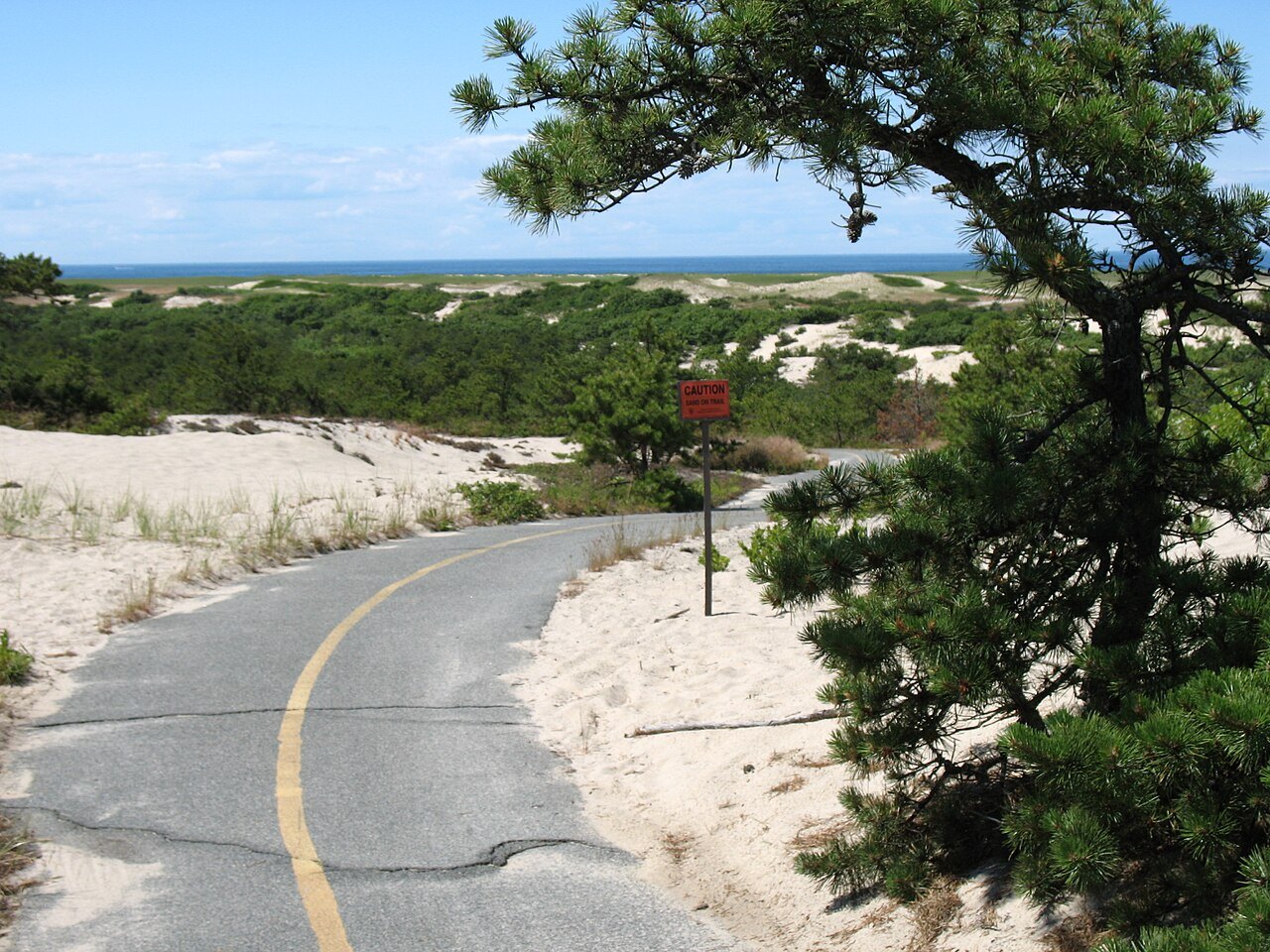
Around it lie the Province Lands, a landscape of dunes with paved bike trails, and Race Point Beach, which with Coast Guard Beach in Eastham has made lists of the best beaches in the country. The Dune Shacks of Peaked Hill Bars, a historic district of nearly two thousand acres, keeps the shacks among the dunes and the dune landscape around them.
The Marconi site and the rest
At South Wellfleet is the Marconi station site, where the first two-way transatlantic radio transmission was made. Other sites in the Seashore include the Highlands Center for the Arts in the former North Truro Air Force Station, the glacial boulder known as Doane Rock, and a former Coast Guard station in Truro that is now a youth hostel.
The park keeps working on its landscape: under the Park Service's centennial program the Herring River estuary is being restored by removing dikes and drains built in 1909, and in the 2020s run-down buildings of no historic value were set for removal and their ground restored. Land has been added over the years: the North of Highland Campground was protected by a conservation easement in 2010, after a local campaign, and in 2011 the Seashore took in the former property of Francis Biddle, attorney general during the Second World War and the chief American judge at the Nuremberg trials.
How to visit
Drive out along Route 6 toward Provincetown and stop in turn: the Salt Pond Visitor Center and Coast Guard Beach at Eastham, Nauset Light, the Marconi site, Highland Light, and Race Point at the tip. There are paved bike trails at Nauset in Eastham, Head of the Meadow in Truro and the Province Lands. Public facilities at the beaches are seasonal; the beaches and the lights are quieter in spring and autumn, and on the ocean beaches it is worth reading the posted conditions before going in. A full day covers the whole Seashore from Eastham to the tip.
Where to go nextIII
Nearby
- Nearby · Cape CodProvincetownThe town at the very tip of Cape Cod, where the Pilgrims first landed and signed the Mayflower Compact in 1620: a fishing harbor that became an art colony, a summer town of 3,664 people all year and up to sixty thousand in season, under the granite tower of the Pilgrim Monument.Read the page →
- Nearby · The Islands · Dukes CountyMartha's VineyardNoepe in Wampanoag, the land amid the streams: an island of about 96 square miles south of Cape Cod, with the whaling captains' houses of Edgartown, the gingerbread cottages of Oak Bluffs and the clay cliffs of Aquinnah.Read the page →
- Nearby · The Islands · NantucketNantucketAn island about thirty miles south of Cape Cod, once the whaling capital of the world, whose town the Park Service calls the finest surviving New England seaport of the late 1700s and early 1800s.Read the page →