What you are looking atI
Nantucket
The Islands · Nantucket
- The townA National Historic Landmark District since 1966, the seaport of the late 1700s and early 1800s.
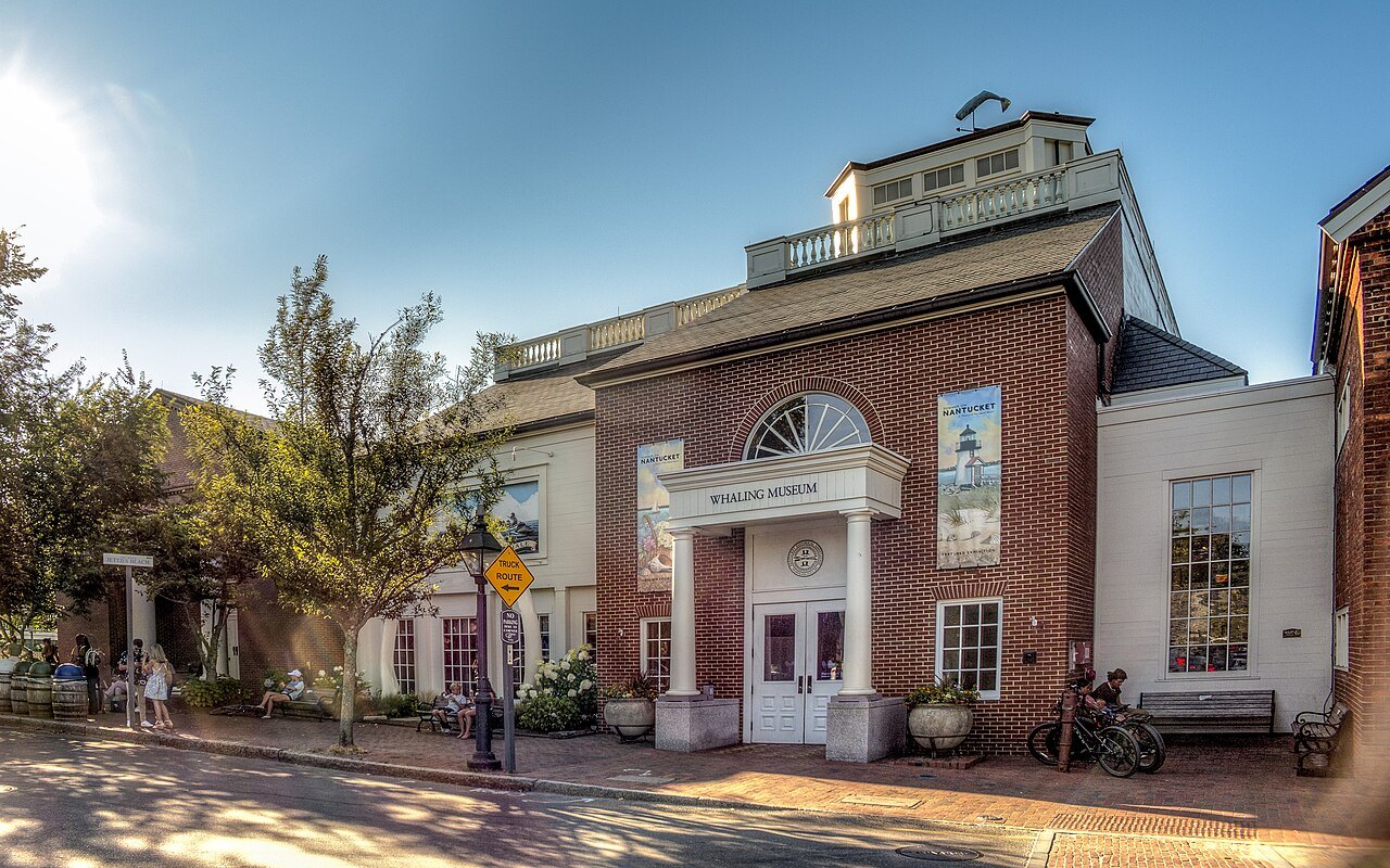
- The Whaling MuseumIn an oil and candle factory of 1847, the flagship of the island's historical association.
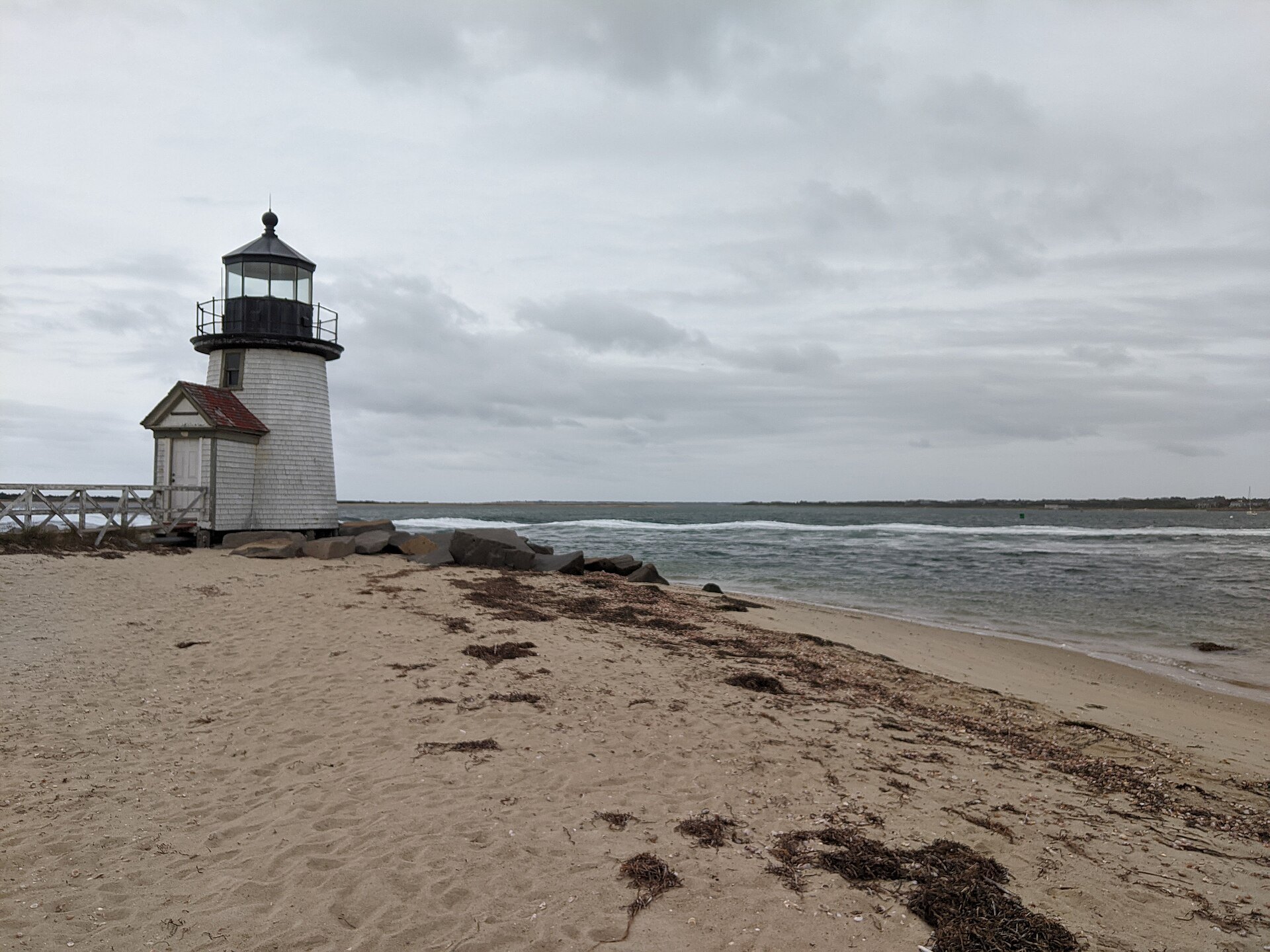
- Brant Point LightThe harbor light of 1901, the tenth light on the point, greeting every ferry.
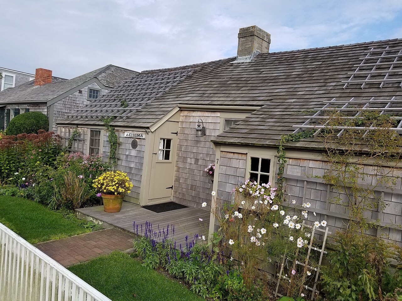
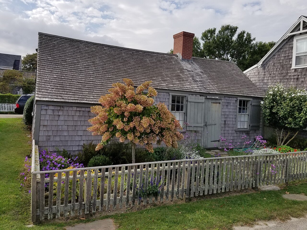
- SiasconsetThe fishing village at the east end, its shacks among the island's oldest houses.
- The Great FireThe fire of July 13, 1846 that burned forty acres of the town.
- The Grey LadyThe island's nickname, for how it looks from the sea in fog.
The place in fullII
Reading the place
Why it matters
Nantucket lies about thirty miles south of Cape Cod, the southeasternmost town in Massachusetts; with the small islands of Tuckernuck and Muskeget it forms a combined town and county. In the eighteenth and early nineteenth centuries it was the center of American whaling, and the town its whaling families built has survived almost whole. The National Park Service, which designated it a National Historic Landmark District in 1966, calls it the finest surviving architectural and environmental example of a late eighteenth- and early nineteenth-century New England seaport town.
Today it is a summer colony: its population rises to around eighty thousand in the summer months. Its nickname, the Little Grey Lady of the Sea, describes the island as it looks from the ocean in fog.
The Wampanoag island
The name probably comes from a Wampanoag word, part of the people's story of how Martha's Vineyard and Nantucket were made. When English settlers arrived in 1659 the island had been home to the Wampanoag for thousands of years. Thomas Mayhew sold nine-tenths of his interest that year to investors led by Tristram Coffin, and the Coffins, Macys, Husseys, Swains, Starbucks and others became the founding families. The settlement's name was fixed as the Town of Nantucket in 1795, by a bill Governor Samuel Adams signed.
The Wampanoag did not thrive under the settlers. A system of debt bondage bound their labor to the colonists by the early eighteenth century, and when whaling began Wampanoag men often made up half or more of the crews: a typical early shore boat, about seven meters long, had five Wampanoag oarsmen and one white man at the steering oar; the historian Nathaniel Philbrick has written that without them the island would never have become a whaling port.
In 1750 a judge upheld the settlers' deeds against Wampanoag petitions that the sachems had had no right to sell. By 1763 they numbered only 358, and an epidemic that year killed 222 of them, while the colonists were untouched; Wampanoag from the Vineyard and the Cape have lived on the island since.
The whaling capital
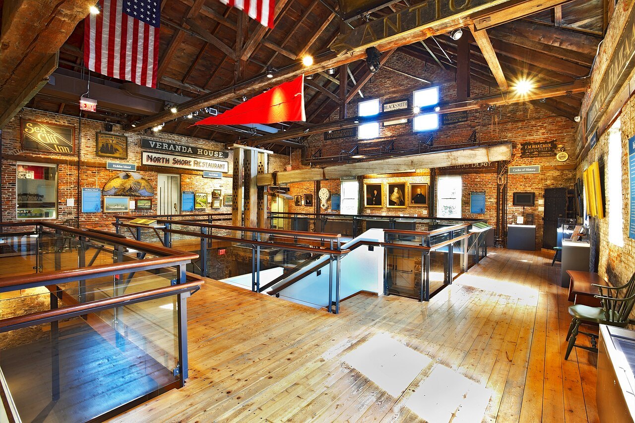
Whaling began, according to the island historian Obed Macy, when settlers chased and killed a whale that had entered the harbor, before 1672. At first whalemen worked from small boats launched from the beach, towing the whales ashore to be processed; later Nantucket ships hunted across every ocean. Herman Melville wrote of the island's dominance in Moby-Dick, and the voyage that inspired the novel was the last voyage of the Nantucket whaler Essex.
By the nineteenth century the island was largely Quaker and opposed to slavery, and it became part of the Underground Railroad. Its African American neighborhood, New Guinea, was also home to Hawaiian Islanders who worked on the whaleships and to Wampanoag who had married into the community.
The fire and the long quiet
The island's fortunes turned in the 1840s. The Great Fire of July 13, 1846, fed by whale oil and lumber, burned some forty acres of the main town. Railroads made mainland ports such as New Bedford more convenient for shipping oil, and the California Gold Rush of 1849 drew away many of the island's workers.
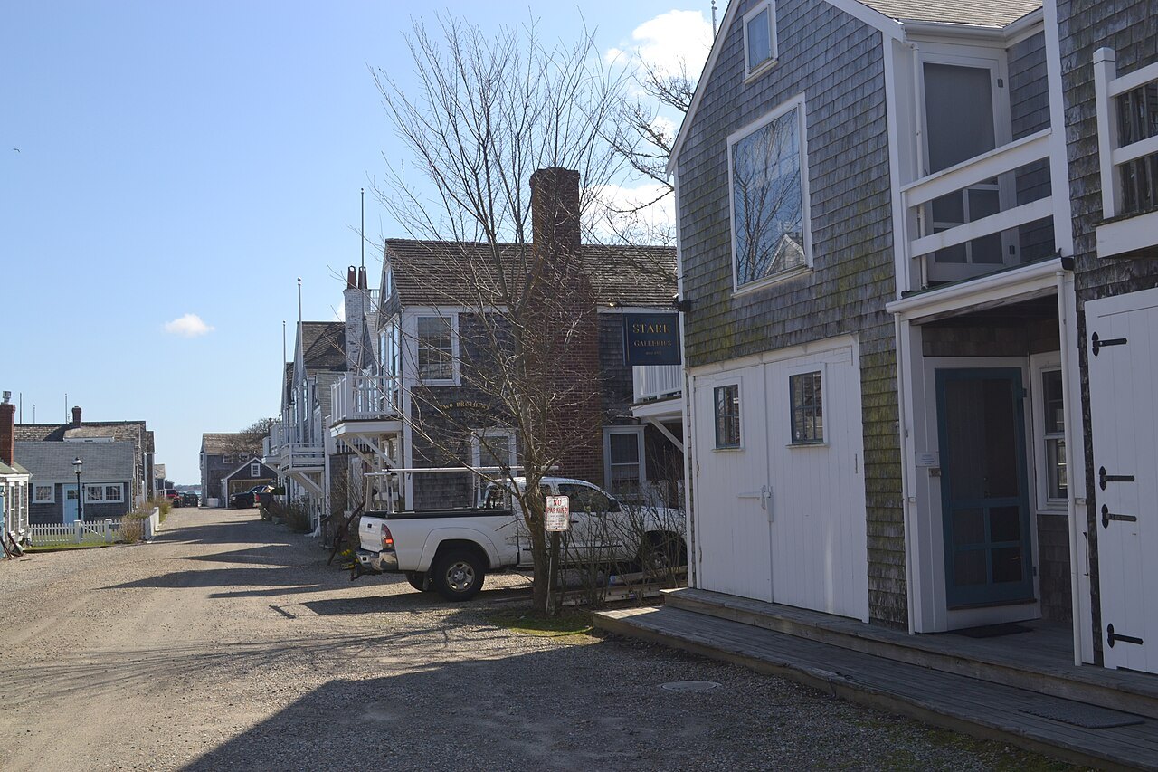
The island was left underdeveloped and isolated until the middle of the twentieth century, and that long quiet is why its town survived: the houses, wharves and lanes of the whaling era were not replaced, only kept.
The Whaling Museum and the harbor
The Nantucket Whaling Museum, the flagship of the Nantucket Historical Association, occupies the Hadwen and Barney oil and candle factory of 1847, joined in its restoration of 2005 to the Peter Foulger Museum of 1971. It tells the story of the trade that built the town.
At the harbor mouth stands Brant Point Light. Lights have stood on the point since the eighteenth century, and the state ceded the station to the United States in 1795; the present tower, the tenth light and seventh tower on the site, was built at the end of the point and first lit on January 31, 1901, moved outward as the channel shifted. Every ferry passes it on the way in and out.
Siasconset
At the island's eastern end is Siasconset, usually called Sconset, settled as a fishing village in the seventeenth century. The core of Auld Lang Syne, one of its old fishing shacks, is believed to date from the 1670s, which would make it one of the oldest houses on the island. In 1877 Edward Underhill built new cottages in the manner of the old shacks and rented them to summer visitors, and in the early twentieth century the village was the summer retreat of a colony of actors.
How to visit
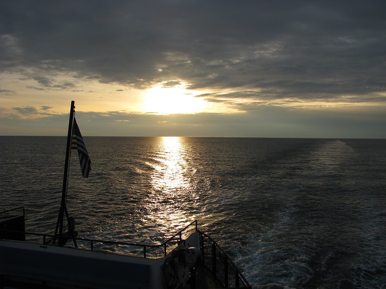
The Steamship Authority and Hy-Line Cruises run ferries to Nantucket all year from Hyannis, with seasonal boats from other harbors and between the two islands; the Steamship Authority is the only line that carries cars. Its roots go back to the Nantucket Steamboat Company of 1833, whose boats began running to Hyannis when the railroad reached it in 1854; Hy-Line started the first high-speed catamaran service to the island in 1995, and its fast boats take about an hour. Most visitors leave the car on the mainland and walk the town, which is compact. Give a day to the town and the Whaling Museum and another to Sconset and the beaches. Summer is the island at its fullest; spring and autumn are quieter.
Where to go nextIII
Nearby
- Nearby · The Islands · Dukes CountyMartha's VineyardNoepe in Wampanoag, the land amid the streams: an island of about 96 square miles south of Cape Cod, with the whaling captains' houses of Edgartown, the gingerbread cottages of Oak Bluffs and the clay cliffs of Aquinnah.Read the page →
- Nearby · Cape Cod · the Outer CapeCape Cod National SeashoreNearly forty miles of Atlantic shore on the outer arm of Cape Cod, set aside on August 7, 1961: high sand cliffs and dunes, kettle ponds and pine woods, and a chain of lighthouses from Nauset to Race Point.Read the page →
- Nearby · South Coast · New BedfordNew Bedford, the Whaling CityThe world's preeminent whaling port of the nineteenth century, remembered in a national historical park across thirteen city blocks: the Whaling Museum with its whale skeletons, the Seamen's Bethel of Moby-Dick, and the cobbled streets that ran down to the wharves.Read the page →