LIGHTHOUSES OF THE OUTER CAPEI
Which lighthouses can you visit on Cape Cod?
A visitor's guide to the lighthouses of Cape Cod National Seashore, from Highland Light to Race Point.
The answer in fullII
Read on
Lighthouses on a shifting shore
Cape Cod National Seashore protects nearly forty miles of Atlantic-facing coast across Provincetown, Truro, Wellfleet, Eastham, Orleans and Chatham, land set aside in 1961 and managed by the National Park Service. Along this stretch stand the lighthouses built to warn ships off a coast that took many of them, rising above high sand cliffs, dunes and kettle ponds left by the retreating glaciers. For many visitors driving the length of the Cape, finding these towers is the main point of the trip.
The ocean is remaking this shoreline constantly, washing out beaches and breaking through barrier islands, as it did at Chatham during Hurricane Bob in 1991. Over thousands of years the sea will take the Cape back, and the lighthouses have had to move with it. Highland Light was hauled inland in 1996, and Nauset Light was relocated once already in the twentieth century, after an older light at Chatham was dismantled and moved to Eastham.
Three lighthouses within the Seashore welcome visitors on land: Highland Light in North Truro, Nauset Light near Eastham, and Race Point Light at the tip in Provincetown. Each has a different history of construction, replacement and relocation, and each can be reached by a short walk from a parking area, though Race Point requires crossing open sand on foot rather than driving up to the tower itself.
Highland Light
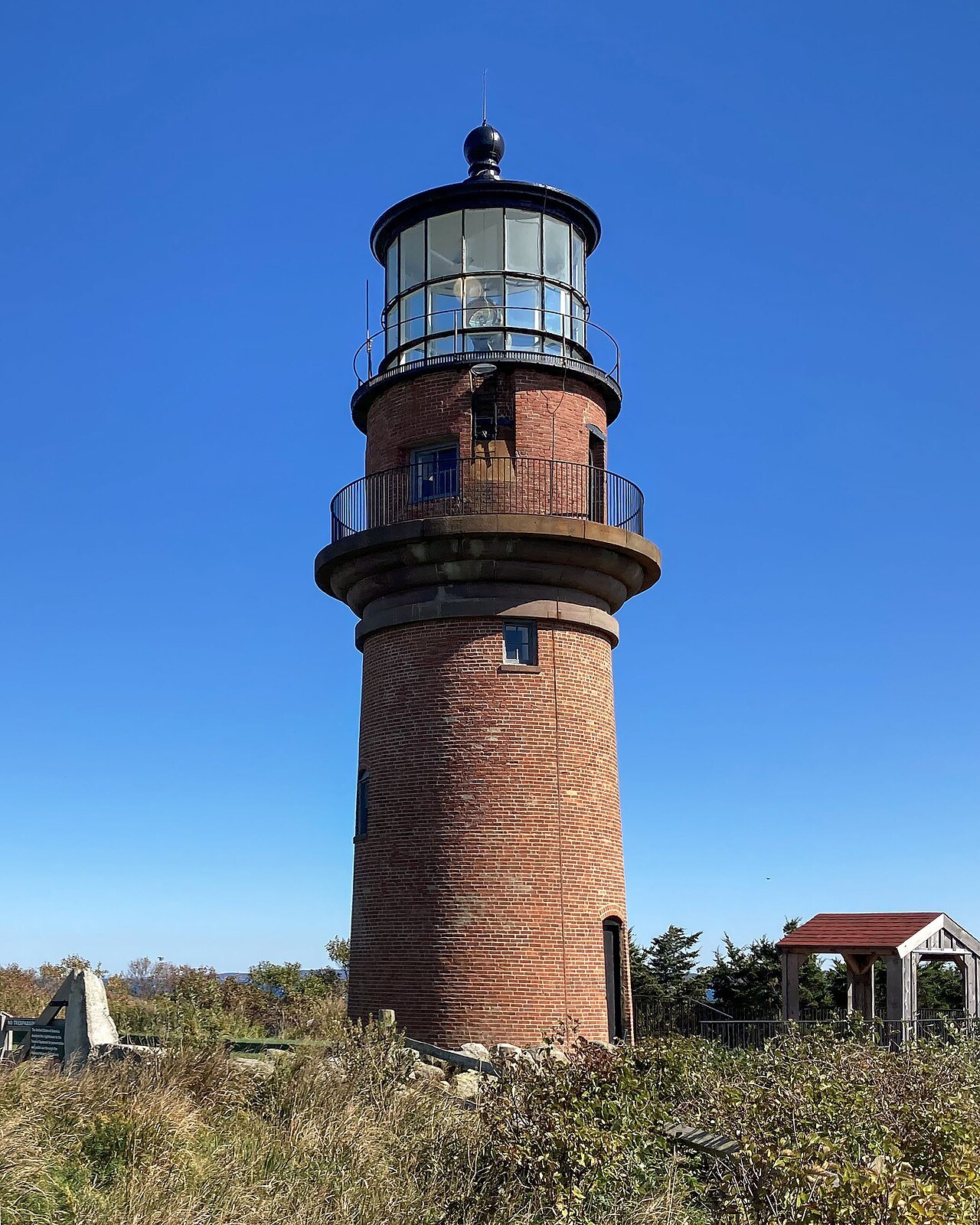
Highland Light, once called Cape Cod Light, is the oldest and tallest lighthouse on the Cape. A station authorized by George Washington went up here in 1797 with a wooden tower, the first light built on Cape Cod, meant to warn ships on the open water between Cape Ann and Nantucket. The brick tower that stands today, sixty-six feet high, dates from 1857 and replaced that original wooden light.
By the twentieth century the cliff beneath Highland Light had eroded so badly that the tower itself was at risk of toppling into the sea. In July 1996, engineers moved the entire brick structure four hundred fifty feet inland, a slow operation spread over eighteen days. The light now stands safely back from the edge, though the same slow erosion continues to reshape the bluff around it.
Visitors can walk the grounds at Highland Light throughout the year, and climb the tower itself on guided tours offered from May until late October; check with the National Park Service for the current tour arrangements. The painter Edward Hopper painted this light years before it moved, and the surrounding landscape of grass and low dune still looks much as it does in his canvas.
Nauset Light
Nauset Light near Eastham is a cast-iron tower lined with brick, forty-eight feet tall, built in 1877 as one of two paired lights at Chatham. It was moved to its present site in 1923 to replace the Three Sisters of Nauset, three small wooden lighthouses that once stood here and that now stand together in a nearby field as a separate historic display.
The tower was painted plain white until the 1940s, when its upper half was given the red cap that makes it one of the most recognizable lights on the Cape. It was automated in 1955, when the keeper's house was sold into private hands, and its original lens was removed in 1981 and is now on exhibit at the Salt Pond Visitor Center in Eastham.
Nauset Light stands close to Coast Guard Beach, one of the Seashore's best-known stretches of sand, and to the Three Sisters site, making the area a natural stop for walking between the tower, the older lighthouses and the shore itself. As with the other Seashore lights, check with the National Park Service for any current access arrangements before visiting.
Race Point Light
At the very tip of the Cape, in Provincetown, Race Point Light was first lit in 1816, the third lighthouse built on Cape Cod after Highland Light and the lights at Chatham. Its original tower, twenty-five feet of rubblestone, carried one of the earliest rotating beacons on the Massachusetts coast, a feature that distinguished it from the Cape's older, fixed lights.
The present iron tower at Race Point, forty-five feet tall, dates from 1876 and still stands on the point today. It was electrified in 1957 and automated in 1972, ending the need for a resident keeper. The American Lighthouse Foundation now operates the property and rents two of its buildings for overnight stays, for visitors who want to book ahead through the foundation.
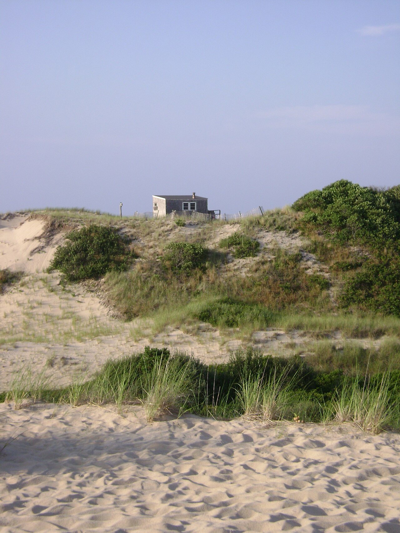
Reaching Race Point Light means walking across open sand rather than driving to a visitor lot, so plan for a longer approach on foot than at Highland or Nauset. The light stands among the Province Lands, a landscape of open dunes, and beside Race Point Beach, which along with Coast Guard Beach in Eastham has appeared on national lists of the best beaches.
Beyond the lights
The Province Lands around Race Point are laced with paved bike trails through open dunes, a different landscape from the wooded kettle-pond country further down the Cape. The Dune Shacks of Peaked Hill Bars, a historic district of nearly two thousand acres nearby, preserves a scatter of small shacks set among the dunes along with the dune landscape that surrounds them.
At South Wellfleet, within the Seashore, is the Marconi station site, where the first two-way transatlantic radio transmission was made. Little remains above ground today, but the site marks a turning point in communication across the same ocean that the Cape's lighthouses were built to warn ships away from, a reminder that this coast shaped more than shipping.
Other sites within the Seashore include the Highlands Center for the Arts, housed in the former North Truro Air Force Station, the glacial boulder known as Doane Rock, and a former Coast Guard station in Truro that now operates as a youth hostel. Together with the three lighthouses, they round out a full day's drive from Eastham to the tip.
Planning a visit
A practical route follows Route 6 out toward Provincetown, stopping in turn at the Salt Pond Visitor Center and Coast Guard Beach in Eastham, Nauset Light, the Marconi site, Highland Light, and Race Point at the tip. Paved bike trails also connect Nauset in Eastham, Head of the Meadow in Truro, and the Province Lands, for visitors who want to cover ground by bicycle rather than by car.
Facilities at the beaches are seasonal, and the lighthouses, dunes and shore are quieter in spring and autumn than at the height of summer. On the ocean-facing beaches it is worth reading the posted conditions before going into the water, since currents along this exposed Atlantic coast can change quickly.
Because tower tours, overnight bookings at Race Point, and seasonal hours all vary, check current arrangements directly with the National Park Service or, for Race Point, the American Lighthouse Foundation before planning a visit. For background on the wider Seashore, including its creation and landscape, see the main Cape Cod National Seashore page, and for Provincetown itself, see Provincetown.
Read nextIII
More from the journal
- Cape Ann: Rockport and GloucesterWhy is Motif Number 1 the most painted building in America?A plain red fishing shack on Bradley Wharf in Rockport is called the most often-painted building in America. Why painters chose it, how it got its name, why the one you see is a replica built after the Blizzard of 1978, and how to see it and the rest of Cape Ann's painters' coast.Read the piece →
- Ferries & IslandsHow do you get to Martha's Vineyard, and do you need a car?Martha's Vineyard has no bridge: you arrive by ferry or small plane. Which harbor to sail from, the one ferry line that takes cars, why most visitors leave the car behind, and how to get round the island by bus, bicycle and on foot.Read the piece →
- ProvincetownDid the Pilgrims really land in Provincetown first?Provincetown's harbor saw the Mayflower before Plymouth did — the story behind the Pilgrims' real first landfall.Read the piece →