FIVE HARBORS, ONE CAR FERRYI
How do you get to Martha's Vineyard, and do you need a car?
Martha's Vineyard has no bridge: you arrive by ferry or small plane. Which harbor to sail from, the one ferry line that takes cars, why most visitors leave the car behind, and how to get round the island by bus, bicycle and on foot.
The answer in fullII
Read on
The short answer
Martha's Vineyard lies just south of Cape Cod, across Vineyard Sound, and there is no bridge. You reach it by ferry or by small plane. The main route, and the only one that carries cars, is the Steamship Authority ferry from Woods Hole, at the southwestern tip of Cape Cod, to Vineyard Haven, a crossing of about forty-five minutes that runs all year. In summer more boats sail from Falmouth, Hyannis and New Bedford, and from farther afield.
Most visitors do not take a car. The Steamship Authority's car places are limited and much in demand in summer, the island towns are compact, and a year-round bus service links them. For a stay of a few days, crossing on foot is simpler and usually quicker.
Some links on this page are affiliate links. If you book through one we may earn a commission, at no extra cost to you. It does not affect what is recommended here, and no landmark or city page on this site carries one.
If you are driving to the ferry, compare rental cars for the road to the Cape.
From Woods Hole
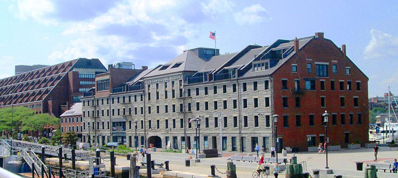
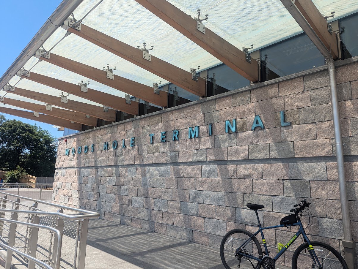
Woods Hole is a village of the town of Falmouth, named for the strait that separates Cape Cod from the Elizabeth Islands, and it is the terminus of the Steamship Authority's route to the Vineyard. From Boston it is a drive of the length of the South Shore and over the Bourne Bridge onto the Cape; many travelers leave the car in the ferry parking lots and cross as passengers.
The Steamship Authority, formed by the Commonwealth in 1949, regulates every ferry to the islands and is the only line that carries vehicles. From Woods Hole its boats sail to Vineyard Haven all year and, from the third week of May to the third week of October, to Oak Bluffs as well; either crossing takes about forty-five minutes. The same line also carries the island's freight, so the boats are the island's lifeline as well as its front door.
The other harbors
In the summer season several passenger-only lines join the Steamship Authority. Hy-Line Cruises, which introduced a high-speed service to the Vineyard in 2005, sails from Hyannis to Oak Bluffs in about an hour. The Island Queen crosses from Falmouth Harbor to Oak Bluffs, and a small ferry runs from Falmouth to Edgartown. Seastreak runs from New Bedford to Oak Bluffs, a good choice for travelers coming up from the south, and a fast ferry crosses from North Kingstown, Rhode Island, to Oak Bluffs.
Which to choose depends on where you are coming from. From Boston or the Upper Cape, Woods Hole or Falmouth; from the Mid-Cape, Hyannis; from the south or from New Bedford, the New Bedford boat. See Ferries and Islands for every crossing.
By air
Martha's Vineyard Airport, inland near the state forest between West Tisbury and Edgartown, is the island's main airport. Cape Air, which has its northeastern hub at Logan, flies there all year from Boston and from New York, with seasonal flights from Hyannis, New Bedford and Nantucket. The flights are short and the planes small; they save the drive to the Cape, but they are more affected by weather than the ferries and carry less luggage. See Getting Here for Logan.
Taking a car, or not
If you do want a car on the island, reserve its place on the Steamship Authority ferry from Woods Hole well ahead, especially for summer weekends; it is the only way to bring one. For most visitors there are good reasons not to. The island's population swells in summer from about twenty thousand to more than two hundred thousand, the down-island roads and town centers become crowded, and parking in Edgartown and Oak Bluffs is scarce.
Without a car, the island still works well. The Martha's Vineyard Transit Authority runs buses all year across the island, linking the three down-island towns with each other and with the up-island towns and Aquinnah. The towns themselves are made for walking: Edgartown in particular is easily traversed on foot or by bicycle.
Where you land
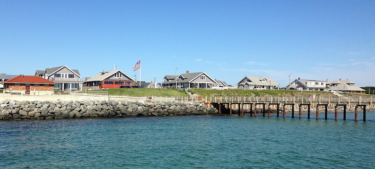
Vineyard Haven, in the town of Tisbury, is the island's main port of entry and the year-round home of the Steamship Authority wharf; it has only about two thousand people all year, many more in summer. Oak Bluffs has the second, seasonal wharf and a small, tightly enclosed harbor full of boats. It began as a Methodist camp meeting in an oak grove, and its gingerbread cottages, small wooden houses in bright paint and fretwork, crowd the lanes of the old campground. Its Flying Horses Carousel of 1876 is the oldest platform carousel still running.
From either port it is a short bus ride along the shore to Edgartown, the old whaling port, with its captains' houses on Water Street and its harbor full of yachts. From Edgartown two small ferries, the On Time II and On Time III, carry cars and people across the narrow channel to Chappaquiddick.
Up-island
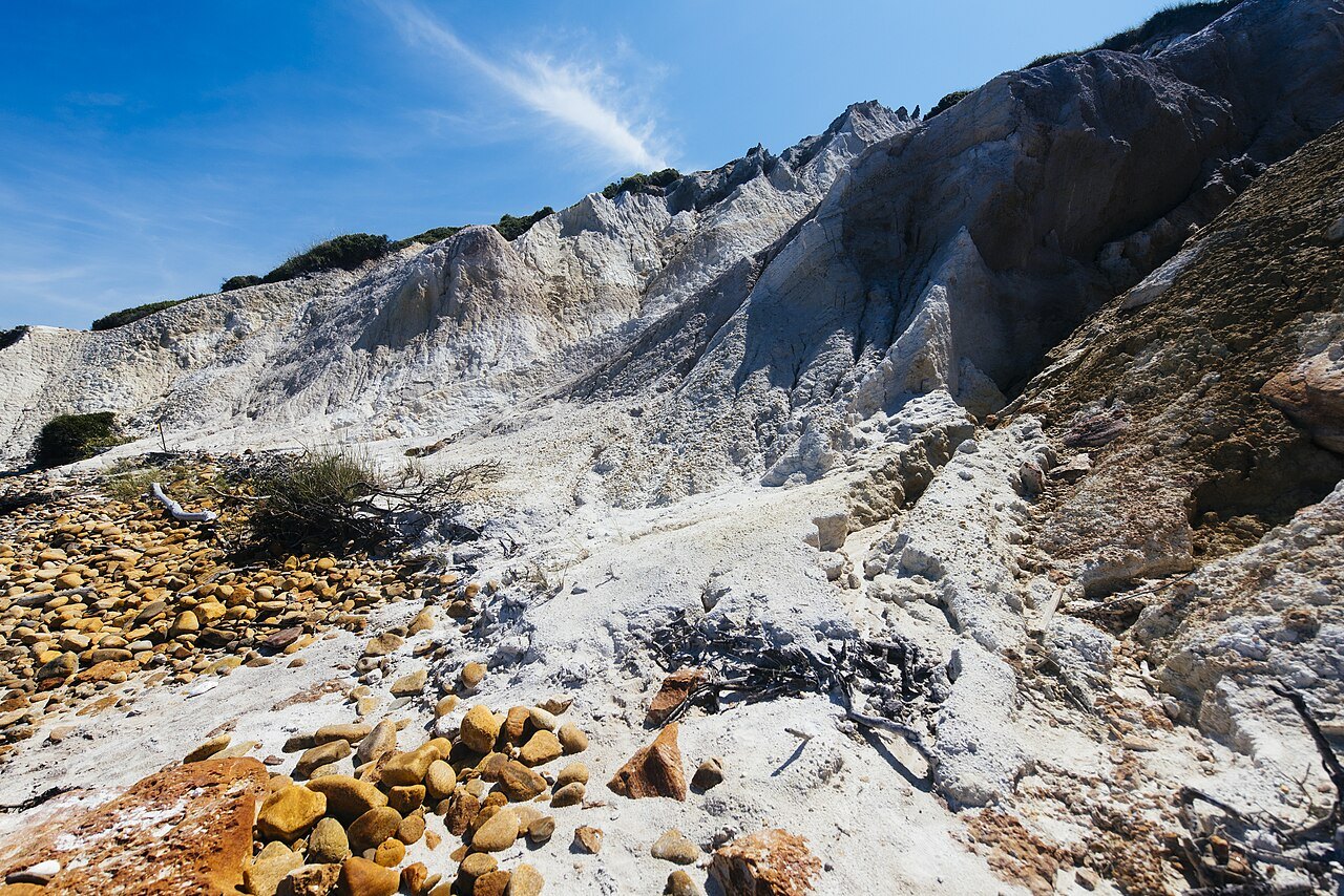
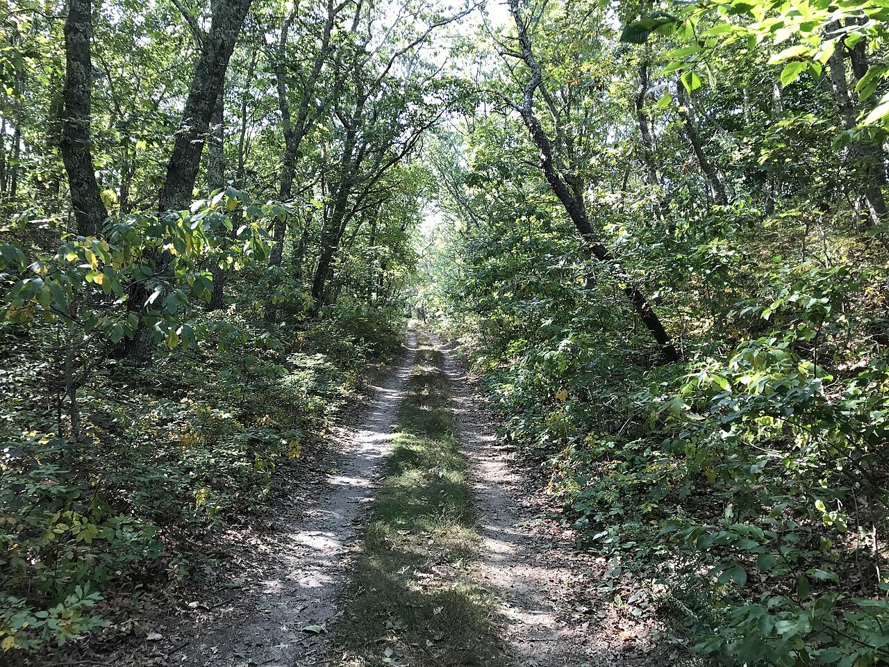
The western half of the island, up-island, is rural: West Tisbury with its farms and state forest, Chilmark and the fishing village of Menemsha, where much of Jaws was filmed in 1974, and at the western point Aquinnah, formerly Gay Head, home to a substantial Wampanoag community, with its clay cliffs and Gay Head Light, the red-brick lighthouse of 1856. The bus reaches all of them, and a day on the up-island loop is the best way to see the other side of the Vineyard.
The name Martha's Vineyard is often said to honor the daughter of Bartholomew Gosnold, the English navigator who sailed here in 1602, but more likely both the island and his daughter were named for his mother-in-law, Martha Golding, who helped pay for the voyage. The Wampanoag name is older: Noepe, land amid the streams.
Planning the trip
Book the ferry and the room together for July and August, and allow slack before a flight home, since sailings can be cancelled in bad weather or when a boat breaks down. Stay at least two nights to make the crossing worthwhile; one down-island town makes a good base. Spring and autumn are quieter and cooler, with fewer boats but more room. For a second island, seasonal boats link Oak Bluffs with Nantucket, and Where to Stay compares the island towns as bases.
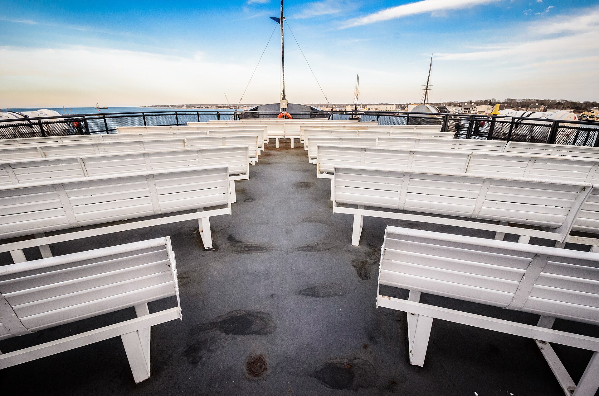
Bring a warm layer for the crossing even in summer: out on the open water of the sound the wind is cooler than on shore, and the outside decks are the best place to watch the island come up over the bow.
Read nextIII
More from the journal
- Getting HereHow do you get from Logan Airport to downtown Boston?Logan sits in East Boston, across the harbor from downtown, so every route into the city crosses the water. The Silver Line bus to South Station, the Blue Line from Airport station, the Logan Express, the boats and the car through the Ted Williams Tunnel, and which suits where you are staying.Read the piece →
- PlymouthIs Plymouth Rock really where the Pilgrims landed?Plymouth Rock is honored as the Pilgrims' landing place of December 1620, but neither of the colony's own chroniclers mentions it, and the claim was first made in 1741. How the legend began, how the rock was split, moved and rejoined, and what to see in Plymouth when you go.Read the piece →
- Cape Ann: Rockport and GloucesterWhy is Motif Number 1 the most painted building in America?A plain red fishing shack on Bradley Wharf in Rockport is called the most often-painted building in America. Why painters chose it, how it got its name, why the one you see is a replica built after the Blizzard of 1978, and how to see it and the rest of Cape Ann's painters' coast.Read the piece →