Home · Scenic Drives
Six days outI
The drives
- The Mohawk TrailRoutes 2 and 2A · Athol or Greenfield to WilliamstownAn old Native trade path over the Hoosac Range, seventy-five miles at its longest, with the Bridge of Flowers, Whitcomb Summit and the hairpin turn above North Adams.
- Mount Greylockthe seasonal summit road · Adams or Lanesborough to the summitThe highest point in Massachusetts, 3,489 feet, with a stone lodge and a memorial tower on top and views of up to seventy-two miles.
- The Old King's HighwayRoute 6A · the Sagamore Bridge to OrleansCape Cod's most historic and scenic road, along the bay shore through Sandwich, Barnstable, Yarmouth, Dennis and Brewster.
- The Outer CapeRoute 6 · Orleans to ProvincetownUp the narrow forearm of the Cape past the national seashore, the lighthouses and the dunes to Herring Cove and Race Point.
- Round Cape AnnRoute 127 · Beverly to GloucesterSome twenty-seven miles along the North Shore through Manchester-by-the-Sea, Gloucester's harbor and Rockport to Halibut Point.
- The Berkshire townsthe valley roads · Williamstown to Great BarringtonDown the length of the county between its towns, museums and summer stages: Williamstown, Pittsfield, Lenox, Stockbridge and Great Barrington.
In fullII
Scenic Drives
Driving for its own sake
For all its history, Massachusetts is at its most beautiful from the road. The state's old routes wind through old villages, over wooded ranges and along a coast of coves and harbors, and several of them are worth driving for their own sake. Each of the drives here makes a day, and each ends near a landmark or a town worth the night. The general mechanics of the roads are on Driving and Getting Around.
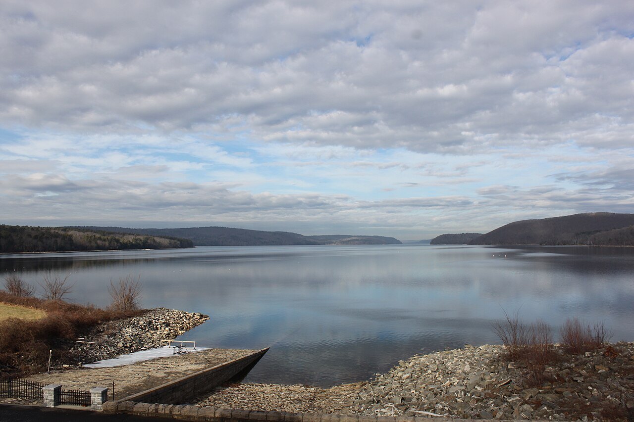
The season matters. The hill drives are finest in autumn, when the forests turn, and the coast drives in late spring and early autumn, before and after the summer traffic. Mount Greylock's summit road is a seasonal road, for the warmer months. See When to Come.
The Mohawk Trail
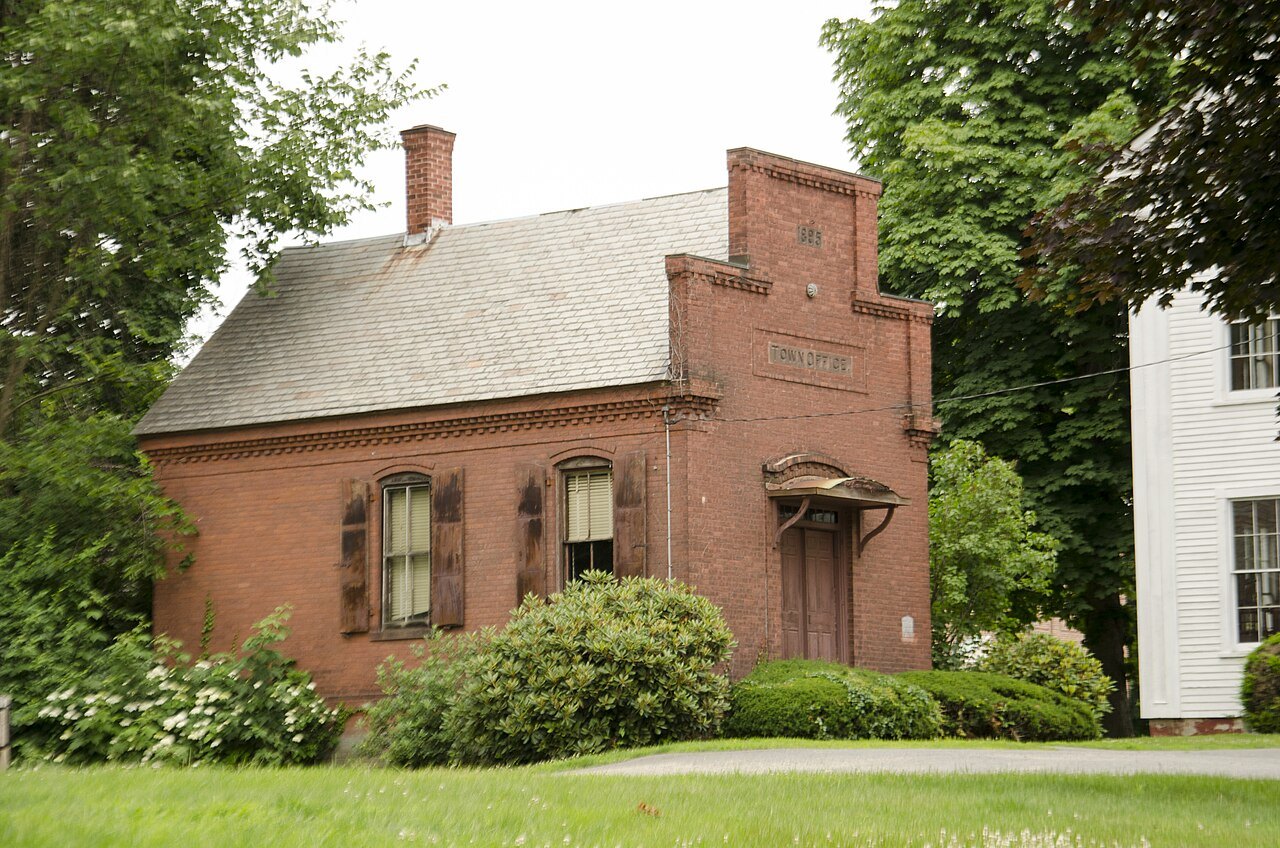
The Mohawk Trail began as a Native American trade route linking the tribes of the Atlantic coast with those of what is now upstate New York, following the Millers and Deerfield rivers and crossing the Hoosac Range. Today it is Routes 2 and 2A, and it is considered one of the most beautiful drives in Massachusetts. At its broadest it runs seventy-five miles from Athol to the New York line at Williamstown, through Orange, Greenfield, Shelburne, Charlemont and North Adams; many drivers start at Greenfield.
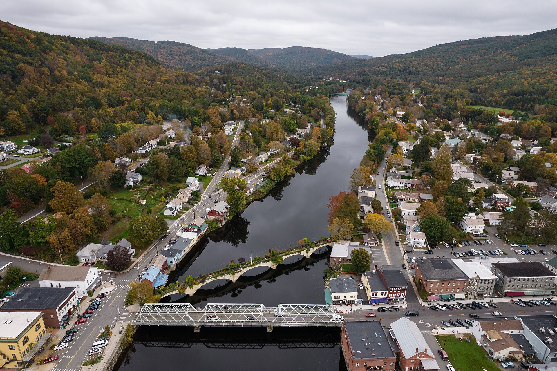
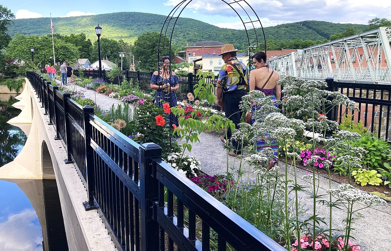
In the east the road crosses the Connecticut River on the French King Bridge, 140 feet above the water. Farther west it runs beside the Deerfield River through the village of Shelburne Falls, known for its Bridge of Flowers, then climbs through the 6,400-acre Mohawk Trail State Forest, past the statue Hail to the Sunrise at Mohawk Park, a tribute to Native American heritage. It tops out at 2,272 feet at Whitcomb Summit, and on the western side a famous hairpin turn and lookout looks down over the city of North Adams to the Taconic Mountains.
Mount Greylock
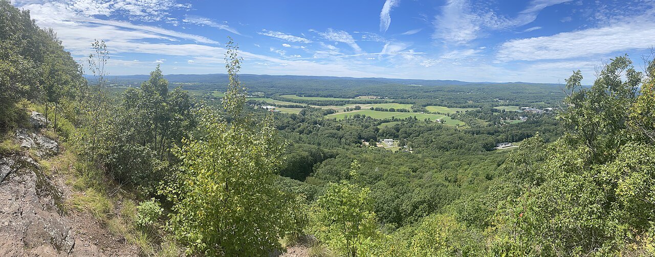
From the Mohawk Trail it is a short way to Mount Greylock, the highest point in Massachusetts at 3,489 feet, a massif of the Taconic Mountains rising some two thousand feet above the Hoosic Valley. A seasonal auto road climbs to the summit area, where three structures of the 1930s make a small National Historic District: Bascom Lodge, built of Greylock schist and red spruce between 1932 and 1938, the Thunderbolt Ski Shelter, and the Veterans War Memorial Tower. Bascom Lodge is run by a concessionaire in the warmer months.
From the top, sight lines reach up to seventy-two miles. The mountain appears in the writing of Nathaniel Hawthorne, Herman Melville and Henry David Thoreau; the Appalachian Trail crosses it; and its upper slopes carry a small sub-alpine forest of balsam fir and red spruce, where boreal birds such as the blackpoll warbler breed.
The Old King's Highway
On Cape Cod the drive to take is Route 6A, most of it known as the Old King's Highway, generally considered the Cape's most historic and scenic road. It begins just east of the Sagamore Bridge and runs along the bay side of the Cape, through Sandwich, Barnstable, Yarmouth, Dennis and Brewster to Orleans, as village main streets as much as a highway. The Barnstable stretch is listed on the National Register of Historic Places as the Old King's Highway Historic District.
It became 6A in the 1950s, when the Mid-Cape Highway, the Cape's first freeway, took the new Route 6 and the through traffic away from the old road, which is why it stays slow and village-scaled. Allow a full day, with stops, from the canal to Orleans.
The Outer Cape
Beyond Orleans, Route 6 carries on up the Outer Cape, the narrow forearm of land that bends north to Provincetown. Here much of the land on either side belongs to the Cape Cod National Seashore, and short turnings lead to the ocean beaches, the Nauset and Highland lighthouses and the dunes of the Province Lands. In Truro and Provincetown the separate northern stretch of 6A follows the bay shore instead.
The road ends at Herring Cove, within the national seashore, with Race Point and its lighthouse a short way beyond. Provincetown itself is best seen on foot; leave the car at the edge of town and walk Commercial Street.
Round Cape Ann
North of Boston, Route 127 makes a loop of some twenty-seven miles from Beverly to Gloucester, much of it on Cape Ann, and it is noted as a scenic road with views along much of the Essex County coast. It leaves Beverly past parks above Beverly Harbor and runs through Manchester-by-the-Sea and the Magnolia section of Gloucester to Stage Fort Park, where a large marker commemorates the founding of the city.
It then passes the Gloucester Fisherman's Memorial on the Western Harbor, crosses into Rockport past the town center, and follows the shore past Pigeon Cove to Halibut Point State Park before bending back south along the Annisquam River to Route 128 at Grant Circle. Stop in Rockport for the harbor and Motif Number 1.
The Berkshire towns
The Berkshires are a region of towns and culture as much as hills, and the drive here links them: Williamstown, North Adams, Pittsfield, Lenox, Lee, Stockbridge and Great Barrington. Along the way lie the Clark Art Institute and the Williams College Museum of Art in Williamstown, the Massachusetts Museum of Contemporary Art in North Adams, the Berkshire Museum and Hancock Shaker Village near Pittsfield, and the Norman Rockwell Museum.
In summer the region becomes a stage. Tanglewood in Lenox is the summer home of the Boston Symphony Orchestra; Jacob's Pillow in Becket is America's first and longest-running dance festival; Shakespeare and Company plays in Lenox; and summer theater festivals run in Williamstown, Pittsfield and Stockbridge. In Lenox stands the Mount, Edith Wharton's house.
Putting drives together
The Mohawk Trail and Mount Greylock make one day from the Pioneer Valley, with the night in Williamstown; the Berkshire towns make the next, ending in Lenox or Stockbridge. On the Cape, drive 6A out and the Outer Cape the same day, and come back on the faster Route 6. Cape Ann is an easy day from Boston or Salem. The itineraries join them into longer trips.
Seen on the wayIII
More photographs
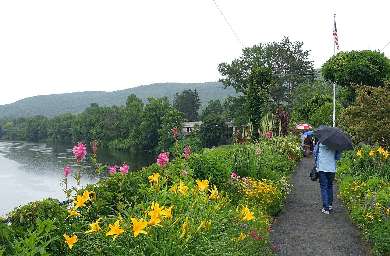
A walker with an umbrella on the Bridge of Flowers, lilies in bloomDaderot, Wikimedia Commons, CC0 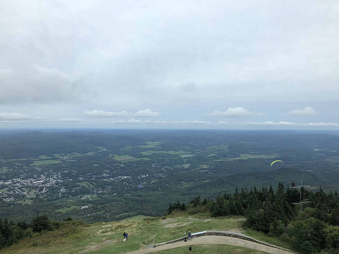
The land falling away to the valley from the summit of Mount GreylockFamartin, Wikimedia Commons, CC BY-SA 4.0