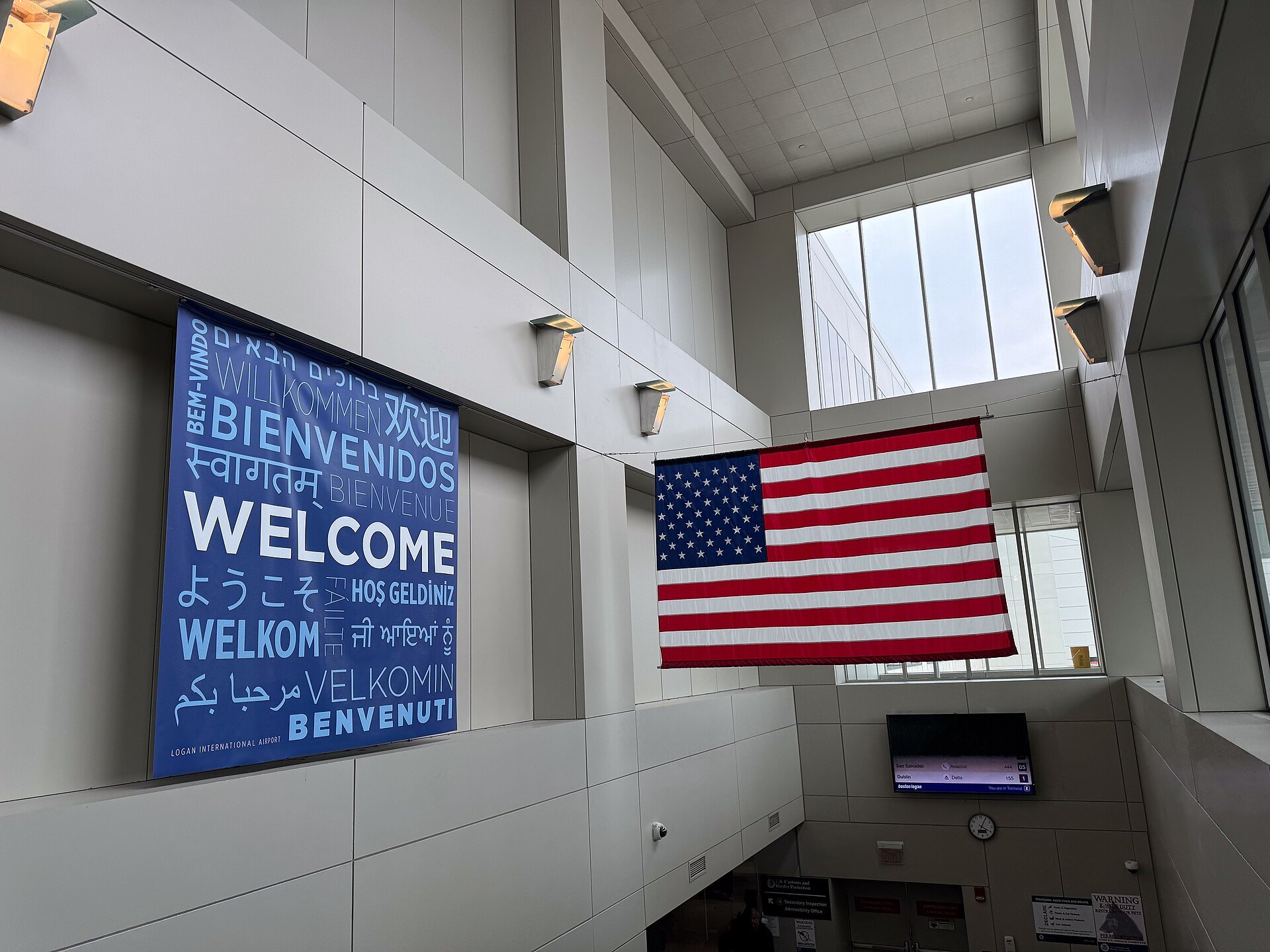
ACROSS THE HARBOR BY BUS, TRAIN OR TUNNELI
How do you get from Logan Airport to downtown Boston?
Logan sits in East Boston, across the harbor from downtown, so every route into the city crosses the water. The Silver Line bus to South Station, the Blue Line from Airport station, the Logan Express, the boats and the car through the Ted Williams Tunnel, and which suits where you are staying.
The answer in fullII
Read on
The short answer
Boston Logan International Airport is unusually close to the city it serves. It lies mostly in East Boston, on land built out into the harbor, and downtown is only a couple of miles away across the water. Every way in crosses Boston Harbor, either under it in a tunnel or over it by boat, and there are more choices than most visitors expect.
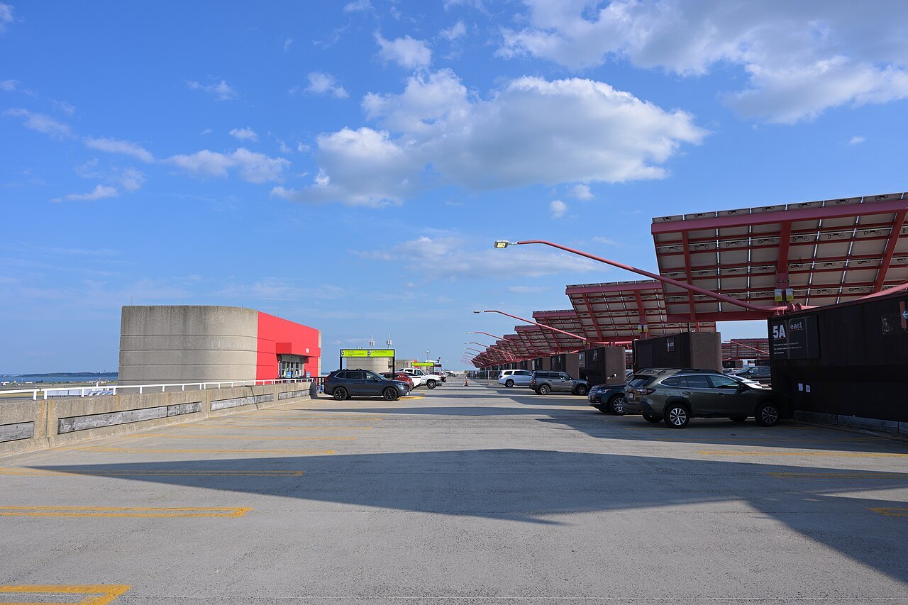
For most people the answer is one of two public transit routes. If you are staying near South Station, the Seaport or anywhere on the Red Line, including Cambridge, take the Silver Line SL1 bus, which stops outside every terminal. If you are staying near the old downtown, the waterfront, the North End or Beacon Hill, take the free airport shuttle to Airport station and ride the Blue Line. If you are staying in the Back Bay, the Logan Express bus runs there directly. See Getting Here for the airport itself.
Some links on this page are affiliate links. If you book through one we may earn a commission, at no extra cost to you. It does not affect what is recommended here, and no landmark or city page on this site carries one.
A transfer booked ahead, and somewhere to leave bags before check-in.
The Silver Line to South Station
The Silver Line is the MBTA's bus rapid transit, run as part of the subway system. Its SL1 route loops around the airport terminals, with a stop on the arrivals level of each one, two of them at the long Terminal B, and then runs through the harbor tunnel and the dedicated South Boston Piers Transitway, a bus tunnel under the Seaport District, to an underground terminal at South Station.
Boarding at the airport stops is free. At South Station you are at the heart of the network: the Red Line to Downtown Crossing, Park Street, Kendall Square and Harvard Square, the commuter trains, Amtrak's trains down the coast and the intercity bus terminal upstairs. The Silver Line also stops at Courthouse and World Trade Center in the Seaport, which suits travelers staying there.
The Blue Line from Airport station
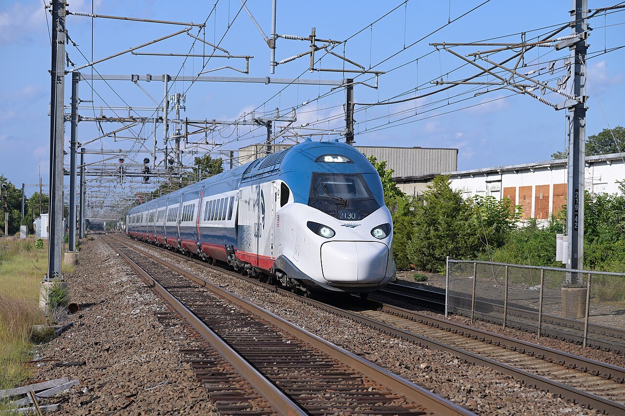
The other rail link is the Blue Line subway. Its Airport station, despite the name, is not in the terminals: it stands at the western edge of the airport, under the junction of Interstate 90 and Route 1A, and free Massport shuttle buses run between it and every terminal. The original brick station of 1952 made Logan the first airport in the United States with a rapid transit connection; the present station of glass and steel dates from 2004.
From Airport the Blue Line runs under Boston Harbor through the East Boston Tunnel, the old streetcar tunnel of 1904, to Maverick, Aquarium, State and Government Center, ending at Bowdoin. Aquarium puts you on the waterfront near Long Wharf; State connects with the Orange Line to North Station and the Back Bay; Government Center connects with the Green Line and is a short walk from Faneuil Hall. There is no direct transfer from the Blue Line to the Red Line.
The Logan Express buses
Massport, the state authority that runs the airport, also runs the Logan Express, a network of airport buses begun in 1986 to take pressure off the airport's parking and roads. Four routes serve suburban park-and-ride terminals, at Braintree, Danvers, Framingham and Woburn, and a fifth, added in 2014, serves the Back Bay neighborhood of Boston.
The Back Bay route is the one most visitors use: it runs from the terminals to the neighborhood around Copley Square and Back Bay station, without a change. The suburban routes suit travelers staying outside the city or leaving a car for the length of a trip.
By boat
Because the airport sits on the harbor, you can also cross it by boat. The free Massport shuttle serves the airport's ferry and water taxi terminal on Harborside Drive, where MBTA ferries and water taxis cross toward the downtown waterfront. It is the most memorable arrival in the city, with the skyline rising across the water, and it lands you near the wharves, the Aquarium and the North End. Check the boats' seasons and schedules before relying on them for a flight.
By car and taxi
The Massachusetts Turnpike, Interstate 90, begins at Route 1A just beyond the airport and runs straight into the city through the Ted Williams Tunnel, whose underwater section lies ninety feet below the surface of Boston Harbor, the deepest such connection in North America. The Sumner and Callahan tunnels are the older harbor crossings. All of them are tolled electronically, without booths.
Taxis and app-booked cars pick up at the terminals and use the same tunnels. Rental cars are collected at the Rental Car Center, a single building of four levels served by the free airport shuttle. Most visitors spending their first days in Boston are better off leaving the car until they leave the city; see Driving and Getting Around.
Which to choose
Choose by where you will sleep. For South Station, the Seaport, the Financial District, Chinatown or any hotel along the Red Line in Cambridge, the Silver Line is simplest, and it costs nothing from the airport. For the waterfront, the North End, Government Center and Beacon Hill, the Blue Line is quickest. For the Back Bay, the Logan Express. For a first view of the city on a fine day, the boat.
Travelers heading straight on out of Boston have their own routes. For the North Shore and Salem, the Blue Line to State and the Orange Line to North Station reach the commuter trains; for the Cape, the Silver Line to South Station reaches the buses and, on summer weekends, the CapeFLYER. Travelers with a lot of luggage, small children or a late arrival often find a taxi or car simplest.
A first trip, step by step
Collect your bags and follow the signs for ground transportation. For the Silver Line, wait at the SL1 stop on the arrivals level and board without paying. For the Blue Line, board the airport shuttle marked for the subway, get off at Airport station and buy a ticket or tap a card at the gates. For the Logan Express, follow the signs to its stop. For the boat, take the shuttle to the water transportation dock.
Once downtown, most of the center is walkable. The Freedom Trail begins on Boston Common, a short walk from Park Street on the Red and Green Lines and from Government Center, and it is a good first afternoon after a long flight.
Read nextIII
More from the journal
- The Freedom TrailHow long does it take to walk the Freedom Trail?The Freedom Trail is only two and a half miles long, but its sixteen stops can fill a day. How long the walk takes with and without the buildings, where to break it in two, which stops need the most time, and how to get back from Charlestown at the end.Read the piece →
- Ferries & IslandsHow do you get to Martha's Vineyard, and do you need a car?Martha's Vineyard has no bridge: you arrive by ferry or small plane. Which harbor to sail from, the one ferry line that takes cars, why most visitors leave the car behind, and how to get round the island by bus, bicycle and on foot.Read the piece →
- PlymouthIs Plymouth Rock really where the Pilgrims landed?Plymouth Rock is honored as the Pilgrims' landing place of December 1620, but neither of the colony's own chroniclers mentions it, and the claim was first made in 1741. How the legend began, how the rock was split, moved and rejoined, and what to see in Plymouth when you go.Read the piece →