TWO AND A HALF MILES, SIXTEEN STOPSI
How long does it take to walk the Freedom Trail?
The Freedom Trail is only two and a half miles long, but its sixteen stops can fill a day. How long the walk takes with and without the buildings, where to break it in two, which stops need the most time, and how to get back from Charlestown at the end.
The answer in fullII
Read on
The short answer
The Freedom Trail is a path of about two and a half miles through Boston, marked by a red line in the sidewalk, that links sixteen places from the years before and during the Revolution. Walked straight through without going inside anything, it takes little more than an hour at an easy pace. Walked properly, with time inside the meeting houses, the churches and the ship, it fills most of a day.
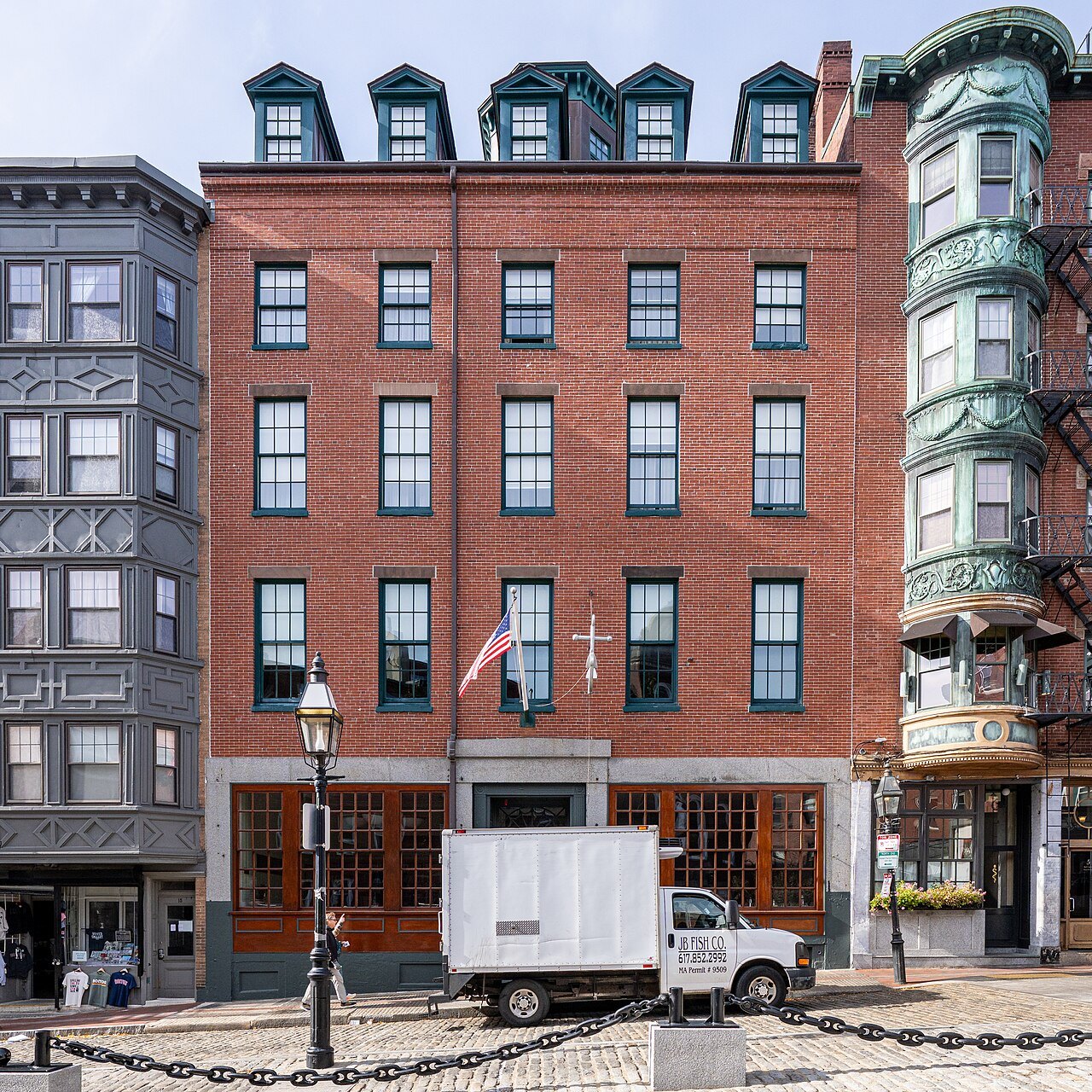
Many visitors split it in two: the downtown half, from Boston Common to Faneuil Hall, on one day, and the North End and Charlestown on the next. Either way, the route is simple to follow, and there is no need to walk it all at once.
The route
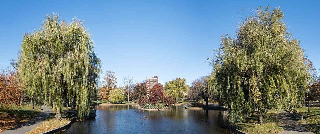
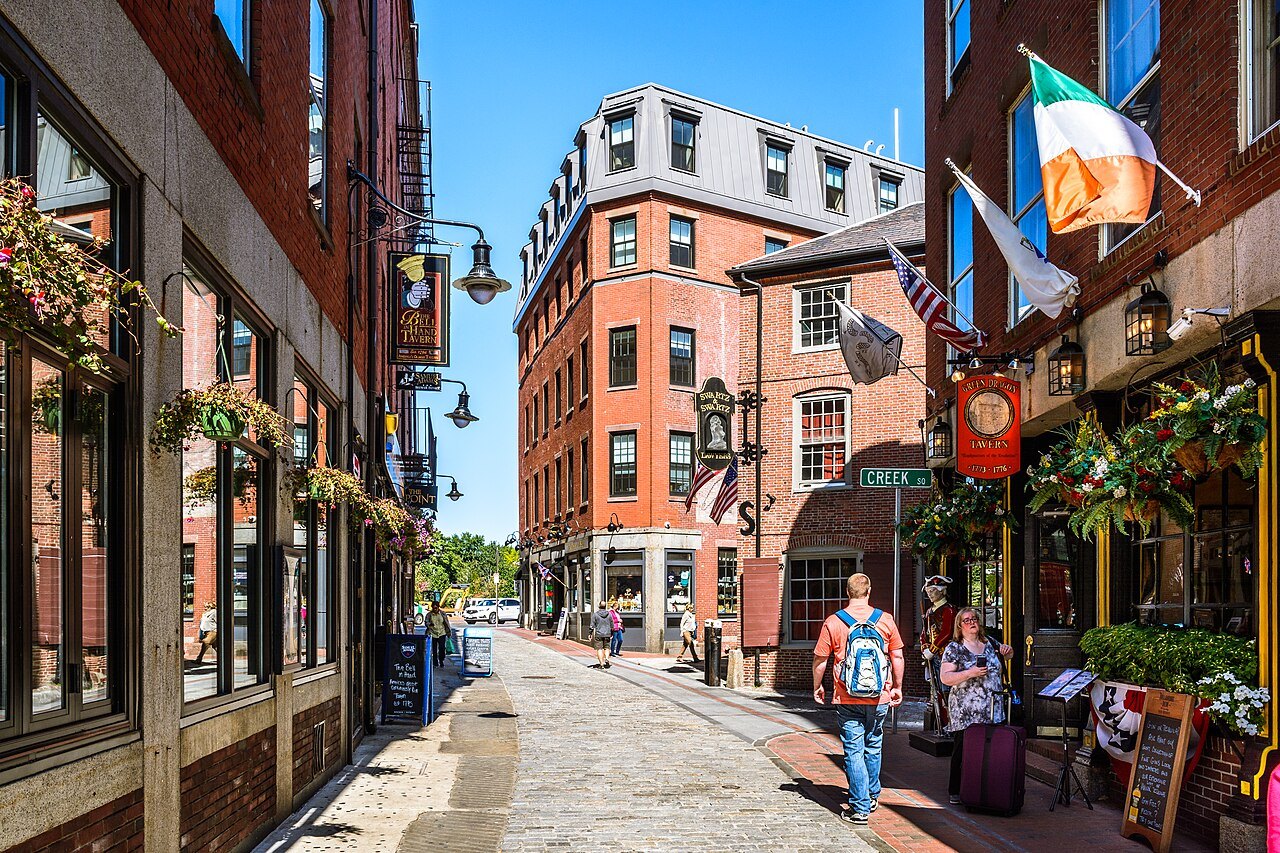
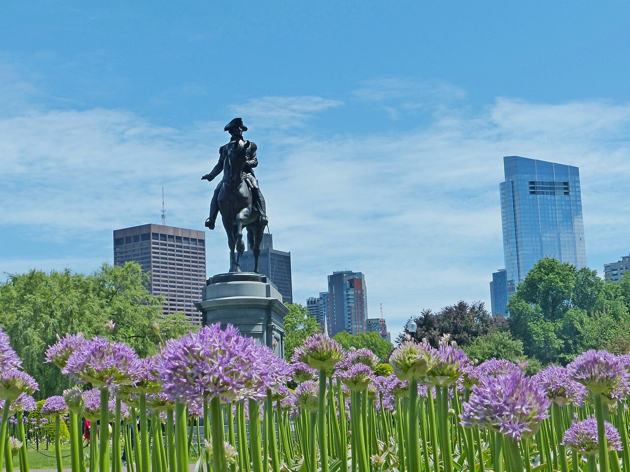
The trail begins on Boston Common, the oldest city park in the country, and runs generally south to north. It climbs to the Massachusetts State House on Beacon Hill, then passes Park Street Church, the Granary Burying Ground, King's Chapel and its burying ground, the site of the Boston Latin School with its statue of Benjamin Franklin, the Old Corner Bookstore, the Old South Meeting House, the Old State House and the site of the Boston Massacre, and Faneuil Hall.
Beyond Faneuil Hall it enters the North End for the Paul Revere House, the Old North Church and Copp's Hill Burying Ground, then crosses the bridge over the Charles to Charlestown, where it ends at USS Constitution and the Bunker Hill Monument. The idea came from a journalist, William Schofield, in 1951, and by 1953 some forty thousand people a year were walking it.
The downtown half
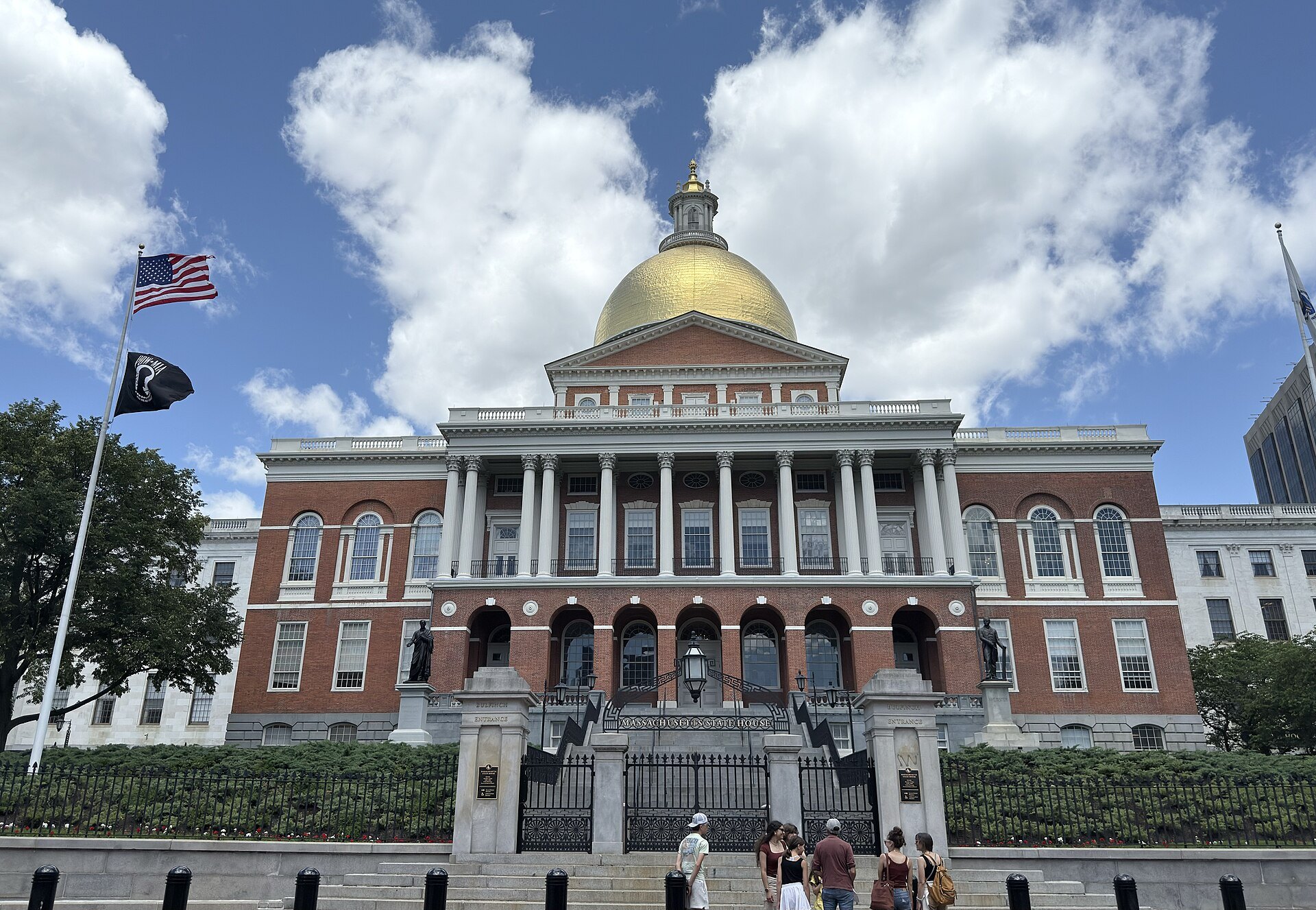
The first nine stops, from the Common to the Old State House, lie close together in the old town center, and the walk between them takes only minutes. What takes time is going in. The State House, completed in 1798 to a design by Charles Bulfinch, can be toured; the Granary Burying Ground, founded in 1660, holds Paul Revere, the five victims of the Boston Massacre and three signers of the Declaration of Independence, and rewards a slow walk among its 2,345 grave markers.
The Old South Meeting House, built in 1729 and the organizing point for the Boston Tea Party, and the Old State House, completed in 1713 and the city's oldest surviving public building, are both museums that charge admission; allow up to an hour for each. With both, the downtown half makes a full morning, ending at Faneuil Hall and Quincy Market for lunch.
The North End and Charlestown
From Faneuil Hall the trail crosses into the North End, the old waterfront quarter of narrow streets. The Paul Revere House, built no later than 1680 and the oldest building on the trail, is the third stop that charges admission; the Old North Church on Salem Street, where the lanterns were hung on the night of April 18, 1775, is still a working church, and Copp's Hill Burying Ground looks across the water to Charlestown.
The walk over the bridge to Charlestown is the longest single stretch of the trail. At the Navy Yard lies USS Constitution, Old Ironsides, launched in 1797 and the oldest naval vessel still afloat, and on Breed's Hill above it the 221-foot granite obelisk of the Bunker Hill Monument, dedicated on June 17, 1843, the anniversary of the battle. The ship, the monument and their museums can easily take an afternoon of their own.
How long for each stop
As a rough guide, the burying grounds, the Common and the ground markers need only a few minutes each unless you want to linger. Park Street Church, King's Chapel and the Old North Church need a short visit each, and the Old Corner Bookstore is best seen from outside. The Old South Meeting House, the Old State House and the Paul Revere House each need up to an hour inside. USS Constitution and Bunker Hill, with their museums and the climb to the top of the monument, need two hours or more together.
Add these up and the whole trail with every building makes six or seven hours, with a break for lunch; skipping the interiors brings it down to two or three hours with photographs and pauses.
Making the day easier
Start early, before the day visitors crowd the downtown stops. The National Park Service keeps a visitor center on the first floor of Faneuil Hall, with free maps of the trail and other historic sites, and rangers there lead tours. Wear comfortable shoes: the trail runs over brick sidewalks, cobbles and the hill up to the State House, and the climb inside the Bunker Hill Monument is a spiral stair of 294 steps, so pace yourself.
Most of the stops are free or ask for a donation, so the cost of the day is only the three museums. In summer carry water; in winter, the short days make the split into two walks the better plan.
If you have children with you, the ship is the stop they are most likely to remember, and it makes sense to plan the day so that you reach Charlestown before you are all too tired; starting in the North End and doing the downtown half afterward is a good way to manage that.
Getting back from Charlestown
The trail ends a long way from where it began, and most people do not walk back. From Pier 4 at the Navy Yard, the MBTA ferry's Charlestown route, begun in 1987 to ease the traffic, crosses the harbor to Long Wharf downtown, a short and scenic ride, and the North Station subway stop on the Green and Orange Lines is a walk back over the bridge. Walking the trail in reverse, starting in Charlestown and ending on the Common, is another way to finish close to the center.
What the trail leaves out
The trail tells one story. Some observers have noted that its frame leaves out places such as the sites of the Boston Tea Party and the Liberty Tree, and the Black Heritage Trail crosses it between the State House and Park Street Church, worth a separate walk on Beacon Hill. For the rest of the Revolution, the first battle, go out to Lexington and Concord, a short trip from the city. The itineraries fit the trail into a longer stay.
Read nextIII
More from the journal
- Getting HereHow do you get from Logan Airport to downtown Boston?Logan sits in East Boston, across the harbor from downtown, so every route into the city crosses the water. The Silver Line bus to South Station, the Blue Line from Airport station, the Logan Express, the boats and the car through the Ted Williams Tunnel, and which suits where you are staying.Read the piece →
- Lexington, Concord and the Old North BridgeWhat happens on Patriots' Day in Massachusetts?Patriots' Day marks the first battles of the Revolution on April 19, 1775. On the third Monday in April, Lexington and Concord reenact them at dawn, riders retrace Paul Revere's ride, the Boston Marathon runs from Hopkinton to Boylston Street and the Red Sox play at home. How to see it, and how to plan around it.Read the piece →
- PlymouthIs Plymouth Rock really where the Pilgrims landed?Plymouth Rock is honored as the Pilgrims' landing place of December 1620, but neither of the colony's own chroniclers mentions it, and the claim was first made in 1741. How the legend began, how the rock was split, moved and rejoined, and what to see in Plymouth when you go.Read the piece →